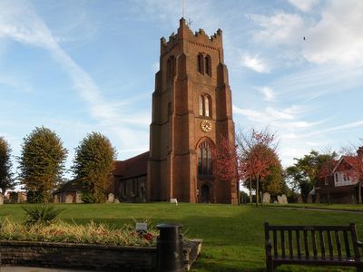
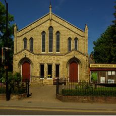
Church of St Edmund and St Mary, Ingatestone, Grade I listed parish church in Ingatestone, England.
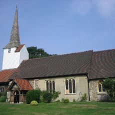
The Church of St Edmund and St Mary is a parish church featuring a distinctive red brick west tower decorated with black diapering and a crenellated top. The building combines elements from different periods, showing how the structure evolved and was adapted through the centuries.
The church dates from 1050 and underwent major rebuilding in the 17th century. These renovations reflect the architectural shifts that took place during that era in England.
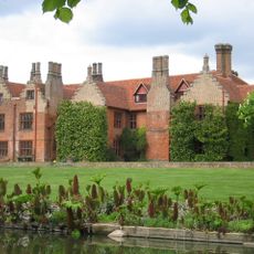
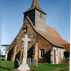
The side chapel holds memorial tombs of the Petre family, who lived at the nearby hall and shaped the area for centuries. These burial monuments reflect the deep ties between a prominent local family and their parish church.
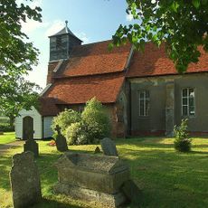
The church is open to visitors during most days, though you should be prepared for uneven ground and steep stairs inside. Wearing comfortable shoes and allowing time to explore both the interior and the surrounding churchyard is recommended.
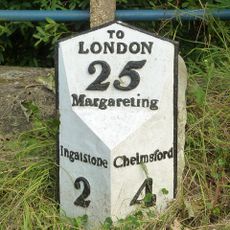
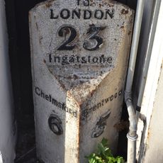
Ancient Sarsen stones can still be seen near the church, hinting at a much older history on this site. One sits beside the west door while two others remain along a nearby lane.
Location: Ingatestone and Fryerning
Inception: 11 century
GPS coordinates: 51.67080,0.38647
Latest update: December 14, 2025 16:41
Ingatestone Hall
1.1 km
Mountnessing Windmill
2.6 km
Fryerning Mill
1.6 km
Church of St Mary
1.6 km
Milestone And Cover Plate 45 Metres South West Of Ivy Cottage
1.6 km
Church of All Saints
3.8 km
Church of St Margaret
1.6 km
Church of St Mary the Virgin, Fryerning
1.4 km
Church of St Giles
3 km
The Cock Inn
3.9 km
The Red Lion Inn
2.3 km
The Spread Eagle Inn
3.2 km
The Bell Inn
155 m
Ingatestone Hall Gatehouse
1.1 km
George and Dragon
3.1 km
Stock and Buttsbury War Memorial
4.1 km
Milestone 27 Metres South South West Of The Spread Eagle Public House
3.2 km
Milestone 12 Metres North West Of 9 Maldon Road
3.1 km
United Reformed Church, Ingatestone
290 m
28 And 30, High Street
184 m
98, High Street
151 m
Milepost Between Numbers 74 And 76
69 m
Holbrooks
3 km
Milepost 17 Metres South Of Number 306
3.2 km
Milestone, Maldon Road, by gate to public footpath
3.1 km
Milestone, opp. Heybridge Hotel
1.5 km
Milestone, opp. Spread Eagle PH
3.2 km
Milestone, 100m NE of Church Hall Road
1.6 kmVisited this place? Tap the stars to rate it and share your experience / photos with the community! Try now! You can cancel it anytime.
Discover hidden gems everywhere you go!
From secret cafés to breathtaking viewpoints, skip the crowded tourist spots and find places that match your style. Our app makes it easy with voice search, smart filtering, route optimization, and insider tips from travelers worldwide. Download now for the complete mobile experience.
A unique approach to discovering new places❞
— Le Figaro
All the places worth exploring❞
— France Info
A tailor-made excursion in just a few clicks❞
— 20 Minutes