
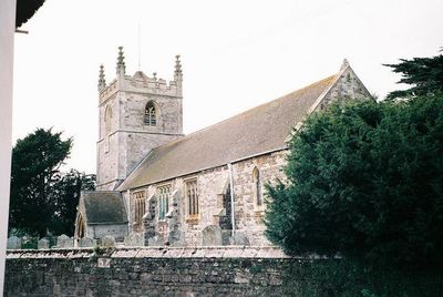
Church of St Mary the Virgin, church in Sturminster Marshall, Dorset, UK
Location: Sturminster Marshall
GPS coordinates: 50.80320,-2.07060
Latest update: March 5, 2025 13:01

Charborough House
3.6 km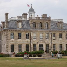
Kingston Lacy
2.9 km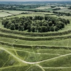
Badbury Rings
2.9 km
Philae obelisk
2.8 km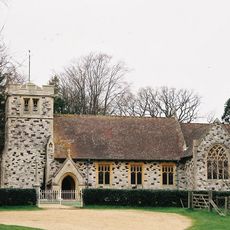
St Stephen's Church, Pamphill
3.7 km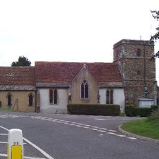
Church of St Hubert
3.3 km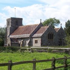
Parish Church of Saint Bartholomew
1.9 km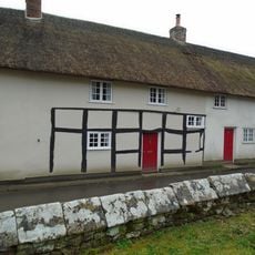
176-188, Church Street
38 m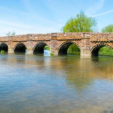
White Mill Bridge
660 m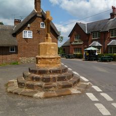
The War Memorial
1.9 km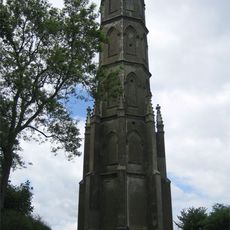
Charborough Tower
3.6 km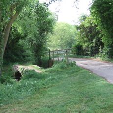
Footbridge Over The River Winterbourne, 200 Metres West Of King Street
588 m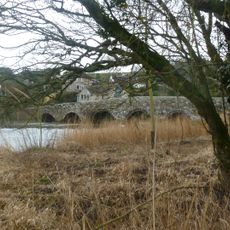
Crawford Bridge
3.6 km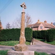
Tarrant Crawford Cross
3.6 km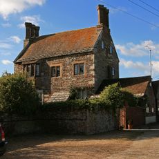
Court House
3.1 km
Poplar Farm Including Attached Barn To North
3.5 km
East Almer Lodge
3.4 km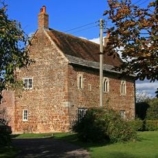
Lodge Farm House
2.9 km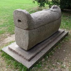
Sarcophagus 15 M South Of The Stables At Kingston Lacy House
2.8 km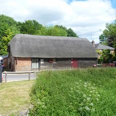
Barn Opposite White Mill
725 m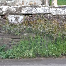
Churchyard Wall
29 m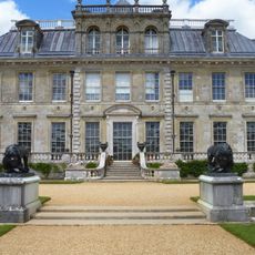
Garden Wall 20 M South Of Kingston Lacy House
2.8 km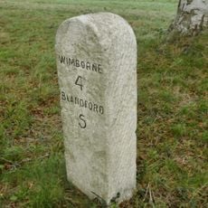
Milestone, half mile W of Badbury Rings;
2.9 km
Two Corinthian Capitals Approximately 60 M South Of Kingston Lacy House
2.8 km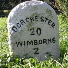
Milestone, grass area opp. St Huberts church
3.2 km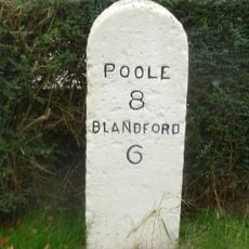
Milestone, Blandford Road, 160m N of cross-roads with Station Rd, in front of Burton Lux
1.2 km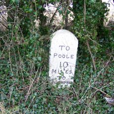
Milestone, 300m E of Spetisbury; 30m W of layby
3 km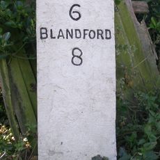
Milestone, 50m W of 'Coventry Arms' Pub, outside most westerly house in village
2.9 kmVisited this place? Tap the stars to rate it and share your experience / photos with the community! Try now! You can cancel it anytime.
Discover hidden gems everywhere you go!
From secret cafés to breathtaking viewpoints, skip the crowded tourist spots and find places that match your style. Our app makes it easy with voice search, smart filtering, route optimization, and insider tips from travelers worldwide. Download now for the complete mobile experience.

A unique approach to discovering new places❞
— Le Figaro
All the places worth exploring❞
— France Info
A tailor-made excursion in just a few clicks❞
— 20 Minutes