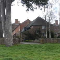
Aconbury Camp, Iron Age promontory fort in Aconbury, England.
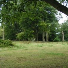
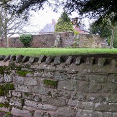
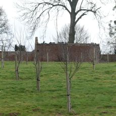
Aconbury Camp is an Iron Age fortified settlement located on a hill near the village of Aconbury. The site is protected by ramparts and ditches that enclose a substantial area on the hilltop.
This fortified site was built during the Iron Age and served as a defensive stronghold across many centuries. Evidence from excavations shows that people continued to use the location throughout later periods including Roman times.
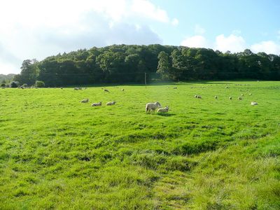
The site served as a gathering place where the local community could find safety and reinforce their bonds. People used this elevated location to maintain their identity and territorial presence.
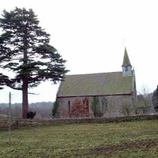
The site is open to visitors and can be explored independently, with the area accessible on foot. Wear sturdy footwear since the terrain is uneven and weather can change quickly.
The fort has two separate entrances at corners of the slope, offering different routes into the stronghold. This dual arrangement was strategically important for controlling movement and maintaining defense.
Location: Aconbury
GPS coordinates: 51.99370,-2.72448
Latest update: December 14, 2025 18:13
The Mynde
4.7 km
Dinedor Camp
3.9 km
Former Church of St John the Baptist
1.4 km
Church of St David
2.9 km
Church of St Mary
1.6 km
Church of St Peter
4.1 km
Church of St Andrew
4.7 km
Church of St Michael
1.8 km
Church of Ss Mary and Thomas A Becket
2.5 km
Church of St David
2.9 km
Church of St Mary
2 km
Bullingham Old Church
4.2 km
Kings Thorn Dragon
598 m
Much Dewchurch War Memorial
2.9 km
Bullinghope War Memorial
4 km
Kitchen garden walls to north of The Mynde
4.7 km
Milestone At Ngr So 512298
3.3 km
Churchyard cross in St David's churchyard
2.9 km
Outbuilding attached to north west of The Mynde
4.7 km
Milepost, S of Lower Bullingham
4.5 km
Milepost, SE Wormelow Tump
3.4 km
Milepost, Church View
2.9 km
Milestone, Redhill Bridge, Ross Road
4 km
Milestone, Portway; N of village
2.6 km
Milepost, Top Hill
3.3 km
Milepost, Church View, The Rhydd (ruined property)
3.4 km
Milepost, Bullingham, by LH entrance to Fairbrook House
3.1 km
Milepost, Willox Bridge; E of A465 jcn
4.7 kmVisited this place? Tap the stars to rate it and share your experience / photos with the community! Try now! You can cancel it anytime.
Discover hidden gems everywhere you go!
From secret cafés to breathtaking viewpoints, skip the crowded tourist spots and find places that match your style. Our app makes it easy with voice search, smart filtering, route optimization, and insider tips from travelers worldwide. Download now for the complete mobile experience.
A unique approach to discovering new places❞
— Le Figaro
All the places worth exploring❞
— France Info
A tailor-made excursion in just a few clicks❞
— 20 Minutes