
Hadrian's Wall and vallum between the March Burn and Oatens Bank, Harlow Hill in wall miles 13,14 and 15
Hadrian's Wall and vallum between the March Burn and Oatens Bank, Harlow Hill in wall miles 13,14 and 15, archaeological site in Heddon-on-the-Wall, Northumberland, England, UK
Location: Heddon-on-the-Wall
Part of: Hadrian's Wall, borders of the Roman Empire
GPS coordinates: 55.00490,-1.85360
Latest update: April 10, 2025 10:43

Close House
3.8 km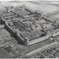
Vindobala
1.8 km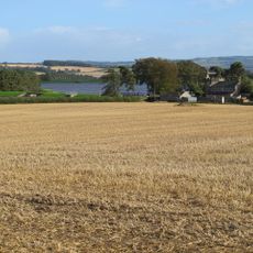
Milecastle 17
3.2 km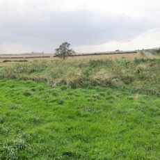
Milecastle 15
230 m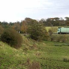
Milecastle 13
2.7 km
Milecastle 16
1.7 km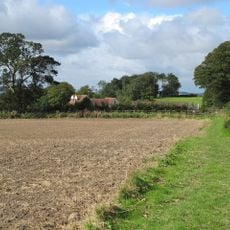
Milecastle 14
1.3 km
Church of St Oswin
3.6 km
United Reformed Church
1.8 km
Welton Hall
2.9 km
The Lion And Lamb
1.9 km
Moor View
1.9 km
The Old Coach Station
1.9 km
Wylam Hall
3.6 km
Oakwood House
2.6 km
Old Schoolhouse
3.3 km
1, Blackett Court
3.7 km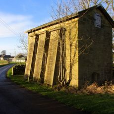
Water Tower Approx 200 Yards East Of Heddon Steads
2.7 km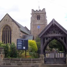
Lychgate C20 Yards South-West Of Church Of St Oswin
3.6 km
The Manse
1.8 km
Rudchester
1.8 km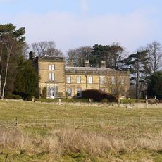
Holeyn Hall
2.2 km
Superintendent's House
3 km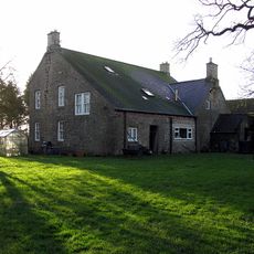
West Heddon Farmhouse
3 km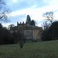
Cheeseburn Grange
3.4 km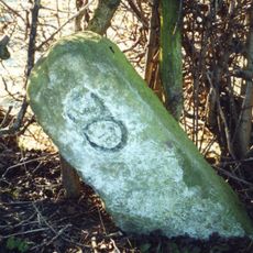
Milestone, Hadrian's Wall, E of Rudchester
2.5 km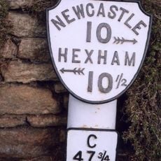
Milepost, Main Steeet, opp Highcrofts jct
1.9 km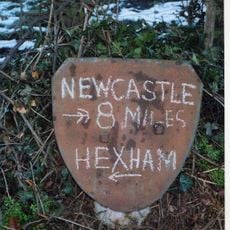
Milepost, Houghton, after Houghton North Farm
3.1 kmReviews
Visited this place? Tap the stars to rate it and share your experience / photos with the community! Try now! You can cancel it anytime.
Discover hidden gems everywhere you go!
From secret cafés to breathtaking viewpoints, skip the crowded tourist spots and find places that match your style. Our app makes it easy with voice search, smart filtering, route optimization, and insider tips from travelers worldwide. Download now for the complete mobile experience.

A unique approach to discovering new places❞
— Le Figaro
All the places worth exploring❞
— France Info
A tailor-made excursion in just a few clicks❞
— 20 Minutes