
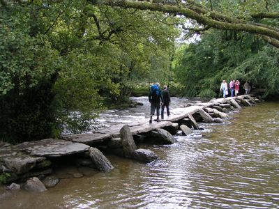
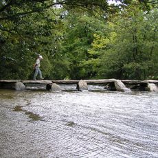
Tarr Steps, Stone clapper bridge in Exmoor National Park, England
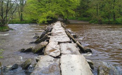
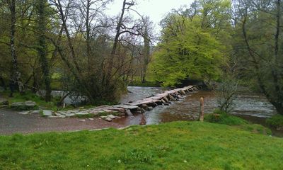
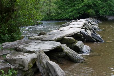
The Tarr Steps spans 55 meters across the River Barle with 17 granite slabs weighing up to two tons each, forming a medieval crossing point.
The bridge construction dates between 1000 BCE and 1400 CE, with its Celtic name 'Tarr' meaning causeway indicating ancient origins in the region.
Local stories tell of the devil building the bridge and claiming it as a sunbathing spot until a local parson negotiated free passage for villagers.
Visitors access the bridge via marked footpaths from the main car park on B3223 road, with disabled parking and refreshment facilities near the structure.
Each granite slab of the bridge carries a specific number for precise repositioning when floods wash sections downstream, ensuring accurate reconstruction.
Location: Somerset
GPS coordinates: 51.07716,-3.61767
Latest update: December 5, 2025 10:40
Tarr Steps
2 m
Stone circle on Withypool Hill 670m ESE of Portford Bridge
3.7 km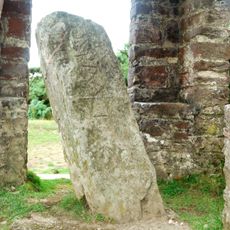
Caratacus Stone
2.6 km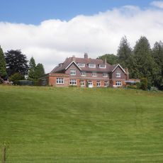
Ashwick House
2.6 km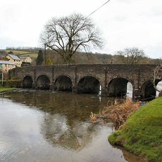
Withypool Bridge
4 km
Mounsey Castle
3.2 km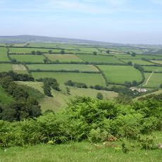
South Exmoor SSSI
2.2 km
Brewer's Castle
2.8 km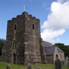
Church of St Andrew
4.1 km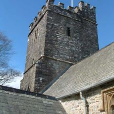
Church of St Giles
1.6 km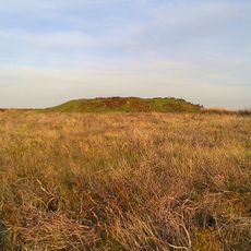
Round barrow cemetery incorporating Wambarrows on Winsford Hill
2.3 km
Withycombe Cottage
3.5 km
Bowl barrow and round cairn on Withypool Hill, 850m and 820m east of Portford Bridge
3.6 km
Cloggs Farmhouse And Farmbuildings Abutting West End
3 km
Round barrow on East Anstey Common
3.6 km
Two round barrows on West Anstey Common
3.3 km
West Nethercote Farmhouse
4.1 km
Earthwork enclosure on Winsford Hill, 200m south east of Wambarrows
2.3 km
Remains Of Churchyard Cross, About 7 Metres South Of Porch, Church Of St Giles
1.6 km
Round barrow 720m NNW of Spire Cross
2.8 km
Old Barrow on Old Barrow Down
2.7 km
Four round barrows on The Allotment, 520m south east of Spire Cross
2.8 km
Garliscombe Mill
3.9 km
Barn North North West Of West Nethercote Farmhouse
4.1 km
Ashway Farmhouse
879 m
Group Of Farmbuidings About 10 Metres West Of Ashway Farmhouse
875 m
Higher Combe
4 km
Churchyard Cross, About 6 Metres South Of Nave, Church Of St Peter
4.1 kmReviews
Visited this place? Tap the stars to rate it and share your experience / photos with the community! Try now! You can cancel it anytime.
Discover hidden gems everywhere you go!
From secret cafés to breathtaking viewpoints, skip the crowded tourist spots and find places that match your style. Our app makes it easy with voice search, smart filtering, route optimization, and insider tips from travelers worldwide. Download now for the complete mobile experience.

A unique approach to discovering new places❞
— Le Figaro
All the places worth exploring❞
— France Info
A tailor-made excursion in just a few clicks❞
— 20 Minutes