Bainbridge Roman fort and annexe, Roman military fort in Bainbridge, England
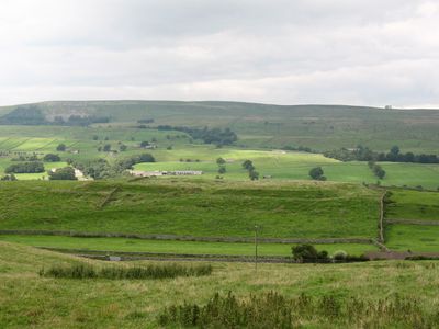
Bainbridge Roman fort is a rectangular military installation near the River Ure featuring defensive earthworks and ditches from the Roman occupation period. The site includes the main fort structure plus a separate annexe area, with both sections showing preserved rampart and ditch systems that outline the garrison's defensive design.
The fort was founded around AD 90 during the early period of Roman expansion into northern Britain. It later served as a base for different military units over several centuries as Rome maintained control of this highland region.
The site reflects how Roman soldiers lived in this remote highland region and adapted to local conditions. Archaeological finds suggest daily interactions between the garrison and surrounding communities during centuries of occupation.
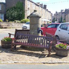
The site displays clearly visible earthwork remains that can be explored on foot from nearby paths. It is open year-round and accessible to visitors, though muddy or uneven ground may occur depending on recent weather conditions.
The fort sits away from major Roman road networks and other military bases in the region. This unusual position suggests the Romans placed the garrison deliberately at this highland location for specific tactical reasons.
The community of curious travelers
AroundUs brings together thousands of curated places, local tips, and hidden gems, enriched daily by 60,000 contributors worldwide.