
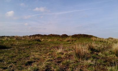
Bowl barrow and round cairn on Withypool Hill, 850m and 820m east of Portford Bridge
Bowl barrow and round cairn on Withypool Hill, 850m and 820m east of Portford Bridge, bowl barrow in Withypool and Hawkridge, Somerset West and Taunton, England, UK
Location: Withypool and Hawkridge
GPS coordinates: 51.09760,-3.65776
Latest update: March 4, 2025 05:01

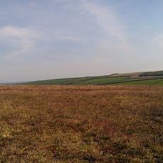
Stone circle on Withypool Hill 670m ESE of Portford Bridge
223 m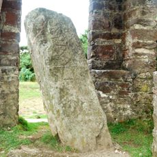
Caratacus Stone
5 km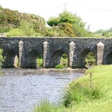
Landacre Bridge
2.9 km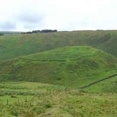
Cow Castle
5.4 km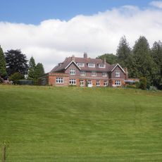
Ashwick House
6.2 km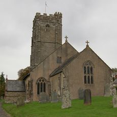
Church of St Mary Magdalene, Winsford
6.5 km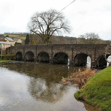
Withypool Bridge
1.1 km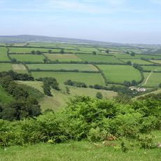
South Exmoor SSSI
4 km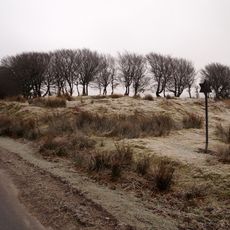
Alderman's Barrow at N of Almsworthy Common
7.9 km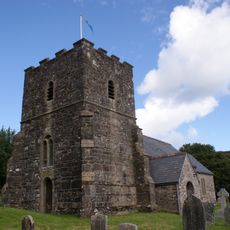
Church of St Andrew
1.3 km
Church of St Petrock
7.1 km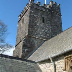
Church of St Giles
4.3 km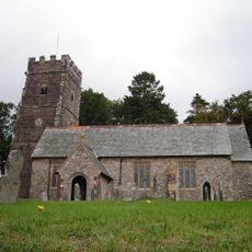
Church of St Mary Magdalene
4.4 km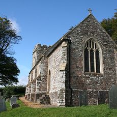
Church of Saint Peter
6.5 km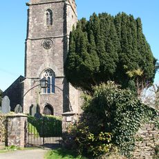
Church of Saint Mary
6.9 km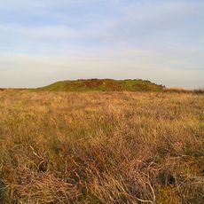
Round barrow cemetery incorporating Wambarrows on Winsford Hill
3.6 km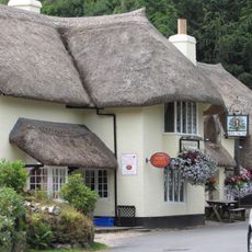
The Royal Oak Inn
6.5 km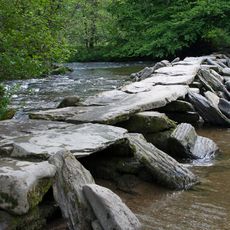
Tarr Steps At Ngr Ss 8677 3211
3.6 km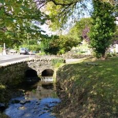
Bridge Over Winn Brook
6.6 km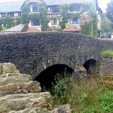
Exford Bridge At Ngr Ss 8525 3836
4.1 km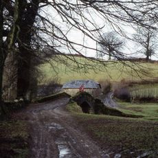
Lyncombe packhorse bridge
4.1 km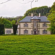
Stone
5 km
Middle Lee Farmhouse
7.9 km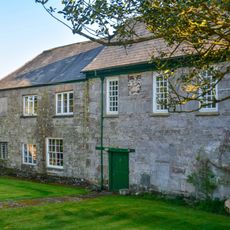
West Molland Barton
7.6 km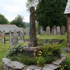
Remains Of Churchyard Cross, About One Metre South Of South Aisle, Church Of St Mary Magdalene
4.4 km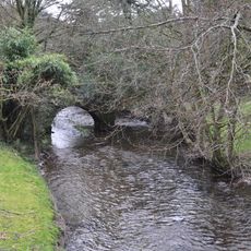
Old Vicarage Bridge
6.6 km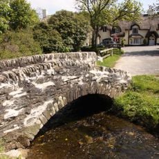
Winsford Smithy Bridge
6.5 kmReviews
Visited this place? Tap the stars to rate it and share your experience / photos with the community! Try now! You can cancel it anytime.
Discover hidden gems everywhere you go!
From secret cafés to breathtaking viewpoints, skip the crowded tourist spots and find places that match your style. Our app makes it easy with voice search, smart filtering, route optimization, and insider tips from travelers worldwide. Download now for the complete mobile experience.

A unique approach to discovering new places❞
— Le Figaro
All the places worth exploring❞
— France Info
A tailor-made excursion in just a few clicks❞
— 20 Minutes