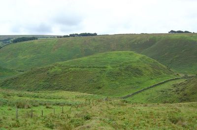
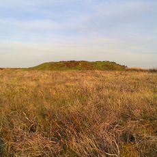
Cow Castle, Iron Age hillfort in Exmoor National Park, England.
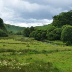
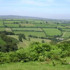
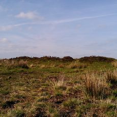
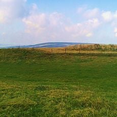
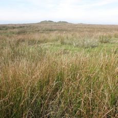
Cow Castle is an Iron Age fortification on a hillside in Exmoor National Park with ramparts and ditches surrounding an area of sloping ground. The installation uses natural topography to create defensive structures that remain clearly visible today.
The fortification emerged during the transition between Bronze and Iron Ages when metalworking technology was transforming societies. Its foundation reflects regional developments of that era as trade networks and defensive needs were being redefined.
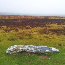
The site reveals how Iron Age communities organized their daily lives and crafts within fortified spaces, with visible traces of ancient occupation patterns. The hilltop location shows how residents valued both defense and control over the surrounding lands.
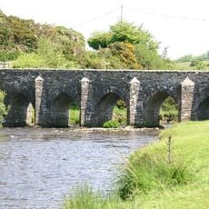
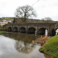
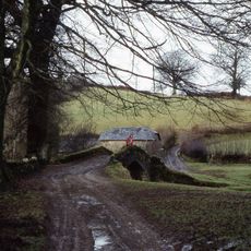
The location is accessible by a walking route of about 3 kilometers starting from Simonsbath with clear markings throughout. Visitors should wear sturdy footwear since the ground is uneven and paths can become slippery depending on weather conditions.
The ramparts reach only about 2 meters in height at certain points, with the steep natural slopes serving as additional defensive barriers themselves. This clever design shows how builders optimized the existing landscape to strengthen their structures.
Location: Exmoor
GPS coordinates: 51.12274,-3.72373
Latest update: December 9, 2025 12:21
Tarr Steps
9 km
Stone circle on Withypool Hill 670m ESE of Portford Bridge
5.3 km
Exmoor National Park
5.2 km
Porlock Stone Circle
8.9 km
Landacre Bridge
2.5 km
Simonsbath House
2.9 km
Barle Valley
8.7 km
Withypool Bridge
5.4 km
South Exmoor SSSI
9.2 km
Church of St Luke
2.8 km
Alderman's Barrow at N of Almsworthy Common
6.5 km
Church of St Andrew
5.4 km
Church of Saint Mary
9.1 km
Church of Saint Peter
6.9 km
Church of St Mary Magdalene
6.4 km
Simonsbath Bridge At Ngr Ss 7720 3909
2.9 km
Round barrow cemetery incorporating Wambarrows on Winsford Hill
8.7 km
Stone circle, Porlock Common
8.9 km
Exford Bridge At Ngr Ss 8525 3836
5.9 km
Lyncombe packhorse bridge
7.2 km
Bowl barrow and round cairn on Withypool Hill, 850m and 820m east of Portford Bridge
5.4 km
Four round barrows on Muxworthy Ridge
6.9 km
'Five Barrows', group of eight barrows
6.2 km
Stone
7.2 km
West Molland Barton
8.9 km
Remains Of Churchyard Cross, About One Metre South Of South Aisle, Church Of St Mary Magdalene
6.4 km
Emmett's Grange
4.3 kmVisited this place? Tap the stars to rate it and share your experience / photos with the community! Try now! You can cancel it anytime.
Discover hidden gems everywhere you go!
From secret cafés to breathtaking viewpoints, skip the crowded tourist spots and find places that match your style. Our app makes it easy with voice search, smart filtering, route optimization, and insider tips from travelers worldwide. Download now for the complete mobile experience.
A unique approach to discovering new places❞
— Le Figaro
All the places worth exploring❞
— France Info
A tailor-made excursion in just a few clicks❞
— 20 Minutes