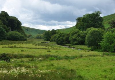
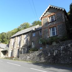
Barle Valley, Protected natural area in Exmoor National Park, England
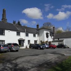
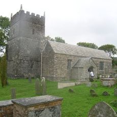
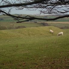
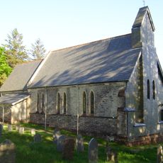
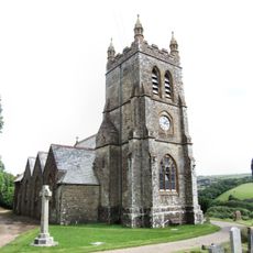
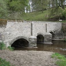
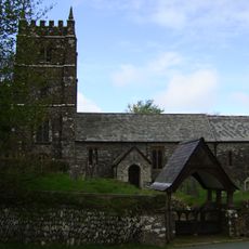
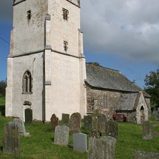
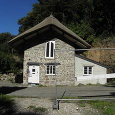
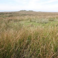
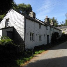
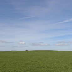
Barle Valley is a protected natural area in Exmoor National Park covering over 1,500 acres of sandstone slopes with ancient oak woodlands at elevations between 150 and 300 meters. A network of marked walking paths winds through the valley connecting several villages.
The Knaplock and North Barton section was first protected in 1954, and the entire valley gained its special scientific status in 1988. This recognition reflects the ecological importance that experts had recognized for many years.
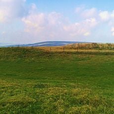
The valley is farmed using traditional methods where deer graze in managed meadows alongside old woodlands. This long-standing approach shapes how the land looks and feels today.
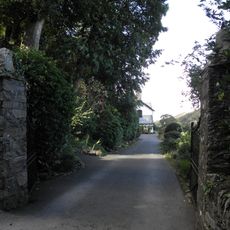
Marked walking paths, including sections of the Two Moors Way, run through the valley offering routes of varying difficulty and length. Visitors should come prepared for changing weather, as the open ridges are exposed to the elements.
The valley hosts an extraordinary variety of lichens and rare woodland plants that inhabit less-visited corners. This diversity of species makes the area valuable for naturalists, though it often goes unnoticed by regular visitors.
GPS coordinates: 51.16560,-3.82778
Latest update: December 6, 2025 17:46
Somerset preserves a broad range of historical sites away from the main visitor routes. The region shows medieval abbeys such as Muchelney and Cleeve, Norman castles like Stogursey and Nunney, Elizabethan manor houses including Cothay Manor and Lytes Cary, and prehistoric stone bridges such as Tarr...
Exmoor National Park
5.4 km
Watersmeet House
6.7 km
Simonsbath House
5.8 km
St Petrock's Church, Parracombe
5.5 km
Roborough Castle
3.8 km
Church of St Luke
6 km
Christ Church
6 km
Simonsbath Bridge At Ngr Ss 7720 3909
5.8 km
Church of St Brendan
6.1 km
Church of Holy Trinity
4.6 km
Methodist Chapel And Youth Centre
5.4 km
Alford House Hotel
7 km
Croft House, Blackmore's Path
7 km
Hillside House And Front Terrace Wall And Railings
7 km
School House
7 km
Footbridge Circa 30 Metres North East Of Town Farmhouse
3.5 km
Retaining Wall, Gate And Steps To Alford House Hotel
7 km
Pair Of Lime Kilns Approximately 200 Metres To East Of Watersmeet House
6.8 km
Royal Castle Lodge (Formerly The Lodge)
7 km
'Five Barrows', group of eight barrows
5.6 km
Lyn House
7 km
Summerhouse And Attached Retaining Wall And Terrace With Railings
7 km
Dean Farmhouse
6.1 km
Rock Lodge
7 km
Emmett's Grange
6.2 km
Lyn Long Stones
5.3 km
Round barrow SE of Down Linhay
6.5 km
Four round barrows on Muxworthy Ridge
4.7 kmVisited this place? Tap the stars to rate it and share your experience / photos with the community! Try now! You can cancel it anytime.
Discover hidden gems everywhere you go!
From secret cafés to breathtaking viewpoints, skip the crowded tourist spots and find places that match your style. Our app makes it easy with voice search, smart filtering, route optimization, and insider tips from travelers worldwide. Download now for the complete mobile experience.
A unique approach to discovering new places❞
— Le Figaro
All the places worth exploring❞
— France Info
A tailor-made excursion in just a few clicks❞
— 20 Minutes