Exmoor National Park
Exmoor National Park, National park in Somerset and Devon, England.
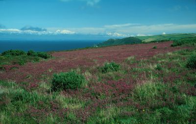
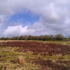
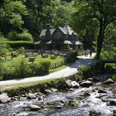
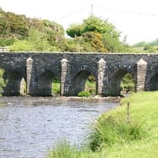
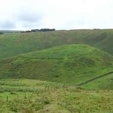
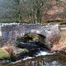
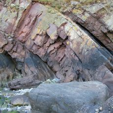
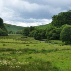
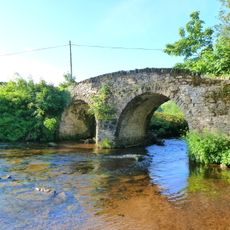
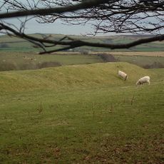
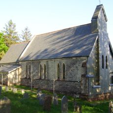
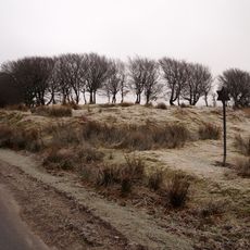
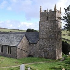
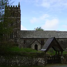
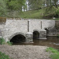
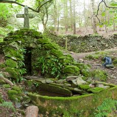
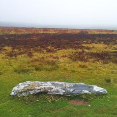
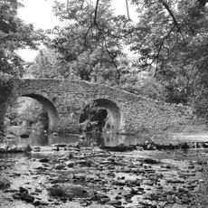
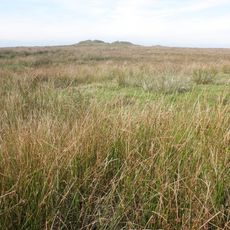
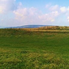
Exmoor National Park is a protected landscape straddling the border between Somerset and Devon with varied terrain throughout. The area includes open moorlands, deep wooded valleys, dramatic sea cliffs, and rolling hills at different elevations.
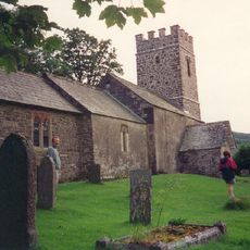
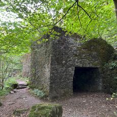
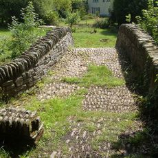
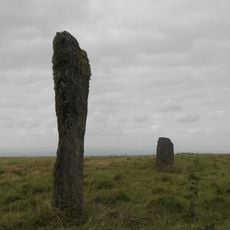
The British government established the park in 1954 as a protected area for conservation. The land, however, holds traces of people who lived here since the Stone Age, leaving behind settlements and evidence of their presence across the terrain.
The landscape has inspired writers and artists for centuries, who captured its wild coasts and lonely moorlands in their works. Today, visitors walk the same paths that shaped these creative visions.
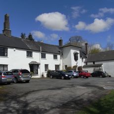
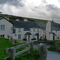
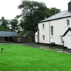
The park is accessible through several gateway towns such as Porlock, Lynton, and Lynmouth, where information centers and lodging are available. Visitors can gather guidance and plan their exploration before heading into the open terrain.
The area holds the designation as an International Dark Sky Reserve, making it one of England's best locations for observing stars without light pollution. This quality draws astronomers and nature lovers who value night skies free from urban glow.
Location: Somerset
Location: Devon
Inception: 1954
Website: http://exmoor-nationalpark.gov.uk
GPS coordinates: 51.16667,-3.75000
Latest update: December 8, 2025 20:01
Porlock Stone Circle
7.2 km
Watersmeet House
7.2 km
Landacre Bridge
7.3 km
Cow Castle
5.2 km
Robber's Bridge
6 km
Glenthorne
7.8 km
Simonsbath House
3.1 km
Barle Valley
5.4 km
Church of St Mary
5.6 km
Malmsmead Bridge
5.6 km
Roborough Castle
6 km
Church of St Luke
2.9 km
Alderman's Barrow at N of Almsworthy Common
5.9 km
The Blue Ball Inn
7.9 km
Church of Saint John
8.1 km
Church of St Brendan
6.1 km
Simonsbath Bridge At Ngr Ss 7720 3909
3.2 km
Methodist Chapel And Youth Centre
8.1 km
Sisters Fountain And Adjoining Pool Approximately 700 Metres To South West Pf Glenthorne At Ss 7930 4917
7.1 km
Stone circle, Porlock Common
7.2 km
Pair Of Lime Kilns Approximately 200 Metres To East Of Watersmeet House
7.1 km
Oare Bridge
5.7 km
'Five Barrows', group of eight barrows
7.1 km
Packhorse Bridge Approximately 30 Metres To West Of Leeford Bridge (That Part In Brendon Cp)
6.1 km
Emmett's Grange
6 km
Lyn Long Stones
7.3 km
Four round barrows on Muxworthy Ridge
7 km
Ye Old Cottage Including Gate Piers To South East
8.2 kmVisited this place? Tap the stars to rate it and share your experience / photos with the community! Try now! You can cancel it anytime.
Discover hidden gems everywhere you go!
From secret cafés to breathtaking viewpoints, skip the crowded tourist spots and find places that match your style. Our app makes it easy with voice search, smart filtering, route optimization, and insider tips from travelers worldwide. Download now for the complete mobile experience.
A unique approach to discovering new places❞
— Le Figaro
All the places worth exploring❞
— France Info
A tailor-made excursion in just a few clicks❞
— 20 Minutes