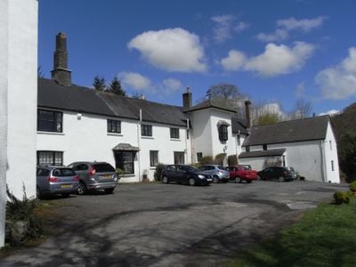
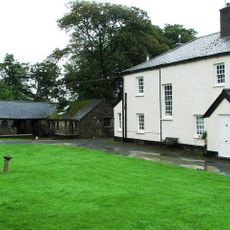
Simonsbath House, Grade II listed hotel in Simonsbath, United Kingdom.
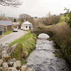
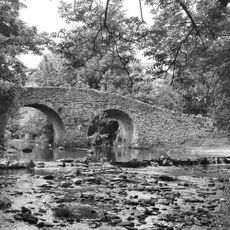
Simonsbath House is a Grade II listed hotel with distinctive white walls and slate roofs nestled in the River Barle valley within Exmoor National Park. The property contains ten individually decorated en-suite rooms, four self-catering cottages, and an on-site restaurant serving English and European dishes.
Built in the mid-17th century by James Boevey, the house stood isolated as the only residence within the Royal Forest of Exmoor for many decades. During the 20th century it served as a wartime school and later operated under different names before being restored to its original identity.
Inside the main building you can see a 16th-century heraldic overmantel displaying family coats of arms above the fireplace. This artwork tells the story of the families connected to the house over the centuries.
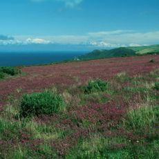
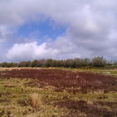
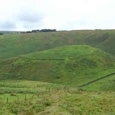
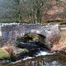
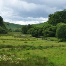
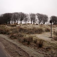
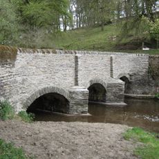
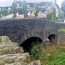
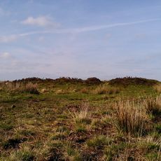
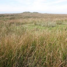
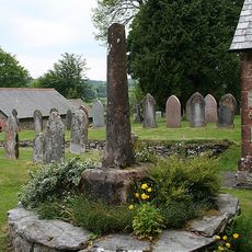
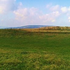
The property sits in a quiet valley setting surrounded by moorland and woodland, making sturdy footwear helpful for exploring the natural surroundings. The location works well for visitors interested in walking trails and wildlife viewing, as the rural setting offers direct access to the wider landscape.
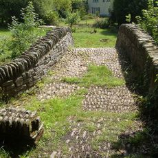
A squash court built in 1929 survives on the grounds, representing one of England's earliest examples of this type of facility. This distinctive feature reveals how the estate embraced modern recreational amenities during the early 20th century.
The community of curious travelers
AroundUs brings together thousands of curated places, local tips, and hidden gems, enriched daily by 60,000 contributors worldwide.