
Benvarden, country house in County Antrim, Northern Ireland
Location: Northern Ireland
Website: http://www.benvardin.com
Website: http://benvardin.com
GPS coordinates: 55.13720,-6.51611
Latest update: May 13, 2025 19:44
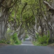
Dark Hedges
8.6 km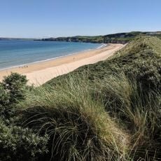
Royal Portrush Golf Club
10.3 km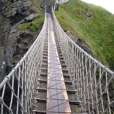
Carrick-a-Rede Rope Bridge
16.3 km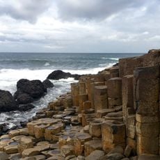
Giant's Causeway
11.5 km
Barry's Amusements
11.4 km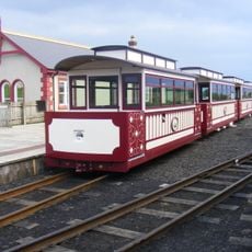
Giant's Causeway and Bushmills Railway
8.2 km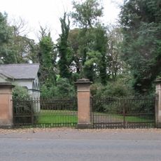
Dundarave House
8.2 km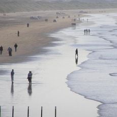
Portstewart Strand
15 km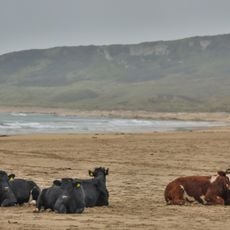
White Park Bay
12.7 km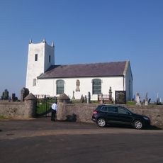
Ballintoy Parish Church
14.9 km
Bann Bridge
9.9 km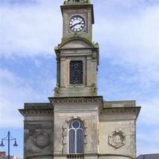
Town Hall The Diamond Coleraine Co.londonderry
9.9 km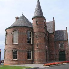
Portrush Town Hall
11.5 km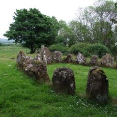
Dooey's Cairn
16.7 km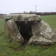
Craigs Dolmen
16.2 km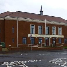
Portstewart Town Hall
13.9 km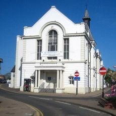
Ballymoney Town Hall
7.3 km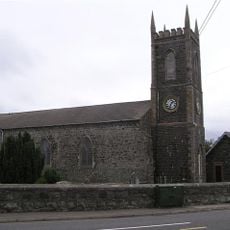
Macosquin Abbey
13.5 km
Knocklayd
17.1 km
Craig Hill
6 km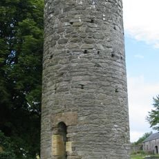
Armoy Round Tower and Church
13.1 km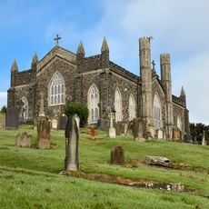
St. John's R C Church Kyle's Brae Coleraine Co.londonderry
10.4 km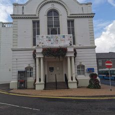
Ballymoney Museum
7.3 km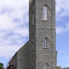
Billy C Of I Parish Church 1 Cabragh Road Glebe Td Bushmills Co. Antrim Bt57 8ud
5.1 km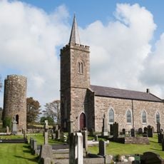
St Olcan's RC Church
13.8 km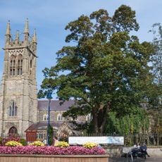
St. Patrick's Church, Coleraine, Northern Ireland
9.7 km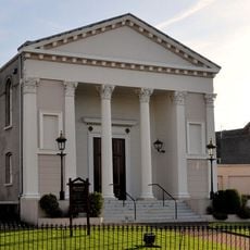
Methodist Church Circular Road Coleraine Co.londonderry
10 km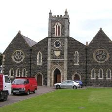
Holy Trinity Parish Church, Main St. Portrush
11.7 kmReviews
Visited this place? Tap the stars to rate it and share your experience / photos with the community! Try now! You can cancel it anytime.
Discover hidden gems everywhere you go!
From secret cafés to breathtaking viewpoints, skip the crowded tourist spots and find places that match your style. Our app makes it easy with voice search, smart filtering, route optimization, and insider tips from travelers worldwide. Download now for the complete mobile experience.

A unique approach to discovering new places❞
— Le Figaro
All the places worth exploring❞
— France Info
A tailor-made excursion in just a few clicks❞
— 20 Minutes