
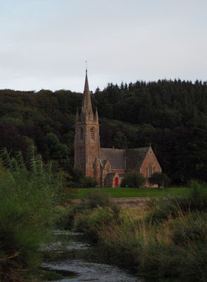
Stow, Galashiels Road, Stow Kirk, architectural structure in Scottish Borders, Scotland, UK
Location: Scottish Borders
Location: Stow
GPS coordinates: 55.68980,-2.86222
Latest update: April 10, 2025 18:52
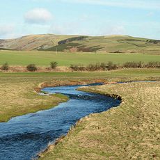
Gala Water
1.4 km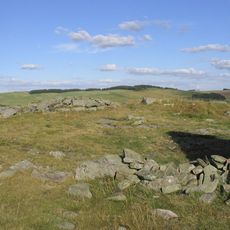
Bow Castle Broch
2.7 km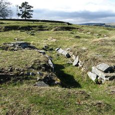
Torwoodlee Broch
5.9 km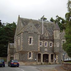
Townfoot, Town Hall
261 m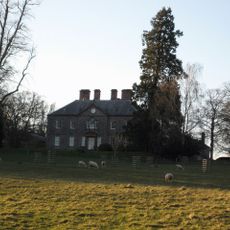
Torwoodlee House
6.5 km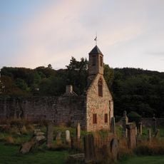
Stow, Galashiels Road, Old Stow Kirk And Churchyard
210 m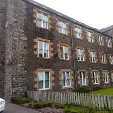
High Tweed Mill, Former High Tweed Mill, King Street
7.8 km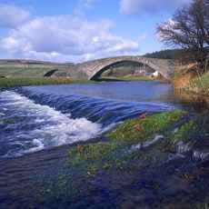
Stow Old Bridge
61 m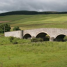
Lugate Bridge
1.4 km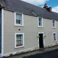
49 West High Street, Lauder
7.8 km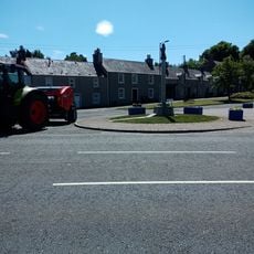
Lauder, Edinburgh Road, War Memorial
7.7 km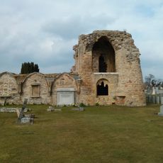
Kinloss Abbey and Burial Ground, Abbot's Lodging
6.7 km
2 The Loan, Lauder
7.6 km
1 The Loan, Lauder
7.7 km
19 West High Street, Lauder
7.8 km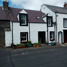
Lauder, 3 Rotten Row
7.8 km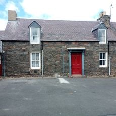
1 Rotten Row, Lauder
7.8 km
3 The Loan, Lauder
7.6 km
Burnhouse
5.3 km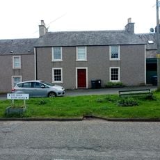
4 The Loan, Lauder
7.6 km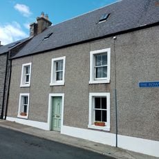
59 West High Street, Lauder
7.7 km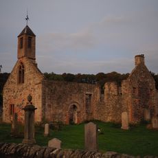
St Mary's Church, Stow
188 m
Craigend
1.4 km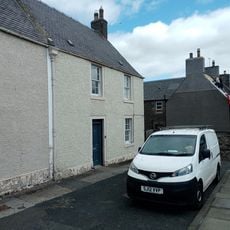
47 West High Street, Lauder
7.8 km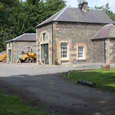
Former Stables, North Lodge, Burn House
5.4 km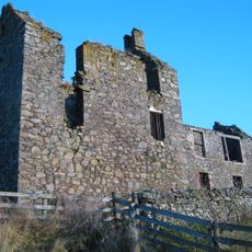
Buckholm Tower
6.9 km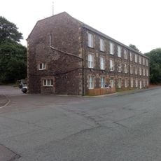
The Pirns, Former High Tweed Mill, King Street
7.8 km
13 West High Street, Lauder
7.8 kmVisited this place? Tap the stars to rate it and share your experience / photos with the community! Try now! You can cancel it anytime.
Discover hidden gems everywhere you go!
From secret cafés to breathtaking viewpoints, skip the crowded tourist spots and find places that match your style. Our app makes it easy with voice search, smart filtering, route optimization, and insider tips from travelers worldwide. Download now for the complete mobile experience.

A unique approach to discovering new places❞
— Le Figaro
All the places worth exploring❞
— France Info
A tailor-made excursion in just a few clicks❞
— 20 Minutes