
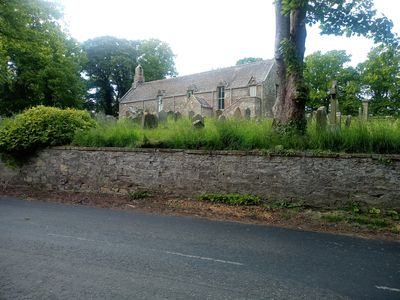
Swinton Parish Church And Churchyard, architectural structure in Scottish Borders, Scotland, UK
Location: Scottish Borders
Location: Swinton
GPS coordinates: 55.72200,-2.25822
Latest update: March 3, 2025 08:39
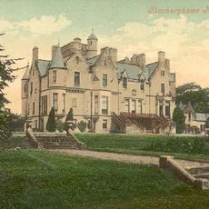
Kimmerghame House
4.5 km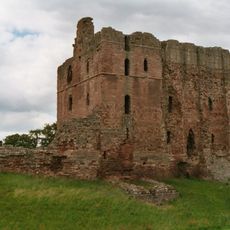
Norham Castle
6.7 km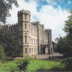
Wedderburn Castle
6 km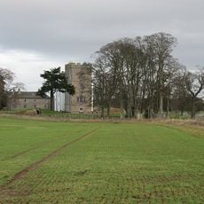
Nisbet House
5.7 km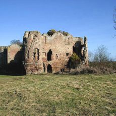
Twizell Castle
6.1 km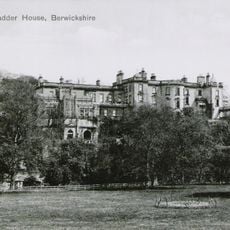
Blackadder House
6.6 km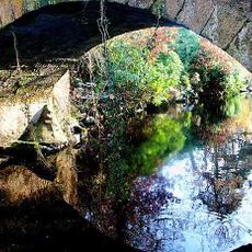
Twizel Bridge
6.3 km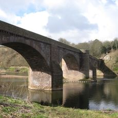
Ladykirk and Norham Bridge
5.1 km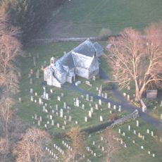
Fogo Priory
6.8 km
Bite-about Pele
5.6 km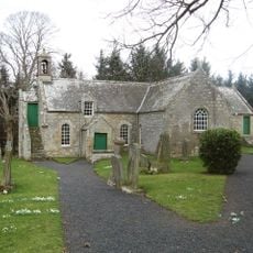
Fogo Parish Church
6.8 km
St Mary’s Church, Ladykirk
5 km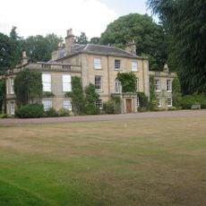
Bughtrig
5.1 km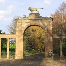
Ladykirk House, West Lodge
4.2 km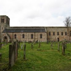
Church of St Cuthbert
5.8 km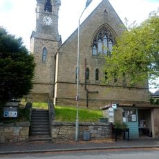
United Free Church, Main Street, Swinton
383 m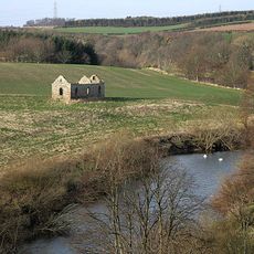
Chapel Of St Cuthbert
5.7 km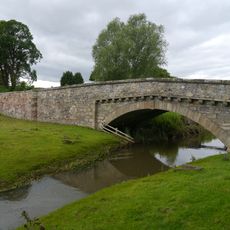
Leitholm, Lambden Burn, West Leitholm Bridge
6.3 km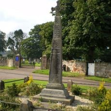
Norham War Memorial
6 km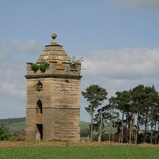
Nisbet Dovecot
5.2 km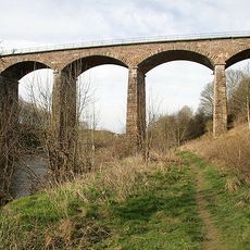
Twizel Viaduct
5.8 km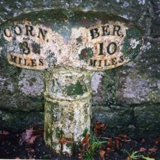
Milepost Circa 200 Yards North Of Tillmouth Park Hotel
6.3 km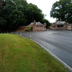
Twin Lodges And Gatepiers To Tillmouth Park Hotel
6.6 km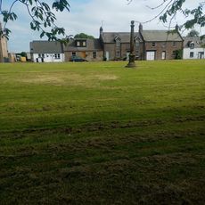
Swinton, The Green, Market Cross
440 m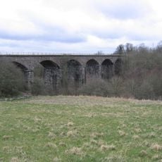
Newbiggin Dene Viaduct
6.2 km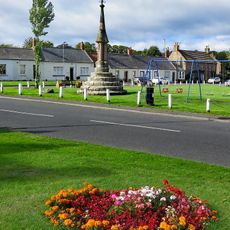
Norham Cross
6 km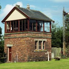
Norham Station Signal Box And Signal
6.8 km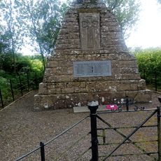
Swinton, Swinton War Memorial
97 mVisited this place? Tap the stars to rate it and share your experience / photos with the community! Try now! You can cancel it anytime.
Discover hidden gems everywhere you go!
From secret cafés to breathtaking viewpoints, skip the crowded tourist spots and find places that match your style. Our app makes it easy with voice search, smart filtering, route optimization, and insider tips from travelers worldwide. Download now for the complete mobile experience.

A unique approach to discovering new places❞
— Le Figaro
All the places worth exploring❞
— France Info
A tailor-made excursion in just a few clicks❞
— 20 Minutes