Caereinion, Medieval cantref in Powys, Wales
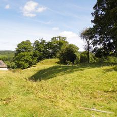
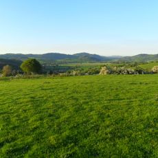
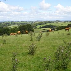
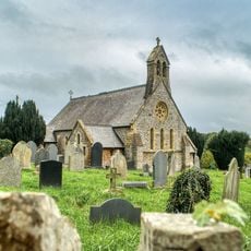
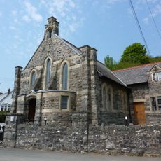
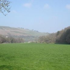
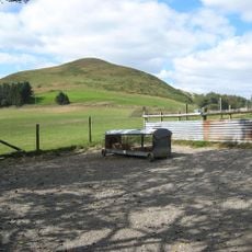
Caereinion is a medieval cantref in Powys, Wales, spread across rolling hills and river valleys. The territory was divided into the administrative sections of Uwch Coed and Is Coed that structured this part of central Wales.
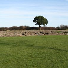
The territory became part of the Kingdom of Powys during the early Middle Ages following Roman withdrawal from Britain in the 5th century. This formed the basis of Welsh territorial organization for centuries afterward.
The region reflects Welsh administrative heritage through its preserved medieval divisions and place names. Local communities continue to identify with these traditional territorial boundaries.
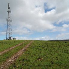
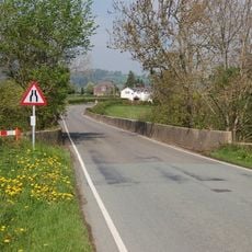
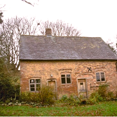
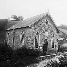
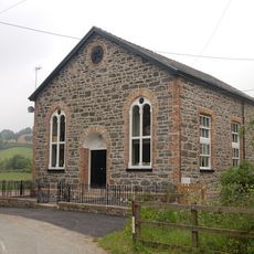
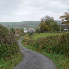
The former boundaries of the cantref are marked today by settlements such as Castle Caereinion and Llanfair Caereinion connected by local roads. Visitors can best explore the landscape by moving between these communities and through the surrounding valleys and hills.
The area served as a strategic buffer zone between the English kingdom of Mercia and Welsh kingdoms for centuries. This border location caused numerous territorial conflicts that shaped the landscape and its communities in lasting ways.
The community of curious travelers
AroundUs brings together thousands of curated places, local tips, and hidden gems, enriched daily by 60,000 contributors worldwide.