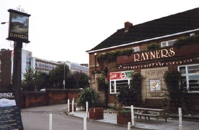
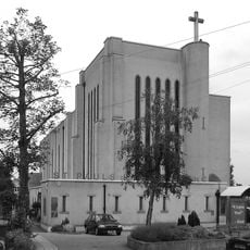
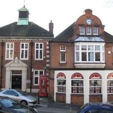
Rayners, pub in Rayners Lane, London
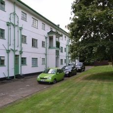
Rayners is a pub in the London Borough of Harrow built in 1937 as a roadhouse. The building features sturdy brick walls, large windows, and generous parking space, designed to serve drivers and travelers in the style popular during that era.
The building was designed in 1937 by the firm Eedle & Myers as a modern roadhouse for travelers. It later received Grade II Listed status, which protected it from significant alterations over the decades.
The name Rayners reflects its former role as a hotel welcoming travelers. The original sign on the building depicts farm buildings, connecting this place to the area's agricultural past and the workers who shaped the local community.
The building stands at Village Way East and is easy to spot with its distinctive original sign. Be aware that it stopped operating as a pub in 2006 and was refurbished to serve as part of Christ the Redeemer College.
The roadhouse concept was revolutionary, featuring large parking to attract early motorists long before highway rest stops became standard. This building is a rare surviving example of this brief 1930s architectural trend.
The community of curious travelers
AroundUs brings together thousands of curated places, local tips, and hidden gems, enriched daily by 60,000 contributors worldwide.