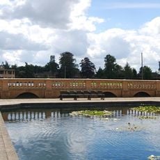
Earlham Road Cemetery, Victorian cemetery in Norwich, England
Earlham Road Cemetery is a Victorian-era burial ground in Norwich divided into two distinct sections, each with its own layout and character. The eastern half features winding pathways shaded by trees, while the western half follows a more geometric grid pattern throughout its grounds.
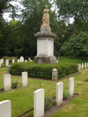
The cemetery was established in 1856 in response to overcrowded churchyards after a cholera outbreak devastated Norwich. It was designed with separate sections to accommodate different religious and social groups, a common practice in Victorian burial grounds.
The cemetery reflects Victorian burial traditions through its varied monuments, from ornate family tombs to simple headstones that show the social differences of that era. Walking through reveals how people chose to remember their loved ones and the importance they placed on these final resting places.
The grounds are accessible by local buses with several entrances positioned around the perimeter, making it easy to reach from different directions. Visitors can explore the entire site on foot at their own pace, and seating areas are scattered throughout for rest stops.
The eastern section serves as a wildlife refuge with around 150 flower species and 80 varieties of trees, creating a natural haven within the burial ground. Muntjac deer and foxes roam these grounds regularly, making the area both a historical site and an active habitat.
The community of curious travelers
AroundUs brings together thousands of curated places, local tips, and hidden gems, enriched daily by 60,000 contributors worldwide.