Rombalds Moor, Moorland in Bradford, England
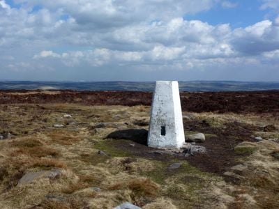
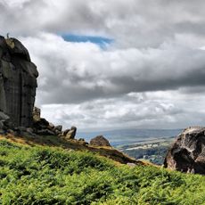
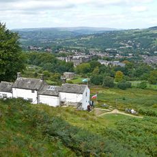
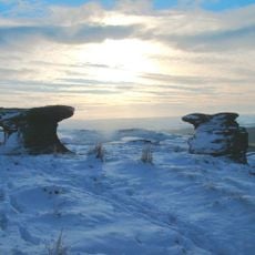
Rombalds Moor is moorland in Bradford with rocky outcrops, heather-covered terrain, and wide views across the Yorkshire countryside. The landscape shifts between open areas and low vegetation that changes color throughout the year.
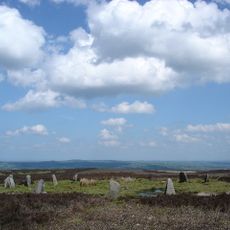
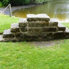
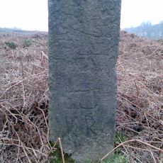
The moor shows traces of human settlement spanning thousands of years, revealed by archaeological finds of stone structures and settlement remains. These findings suggest continuous occupation and use since prehistoric times.
The moor carries local stories about a giant called Rombald, whose legendary actions supposedly shaped natural rock formations like Great and Little Skirtful of Stones. These tales remain woven into how people understand and connect with this landscape.
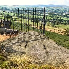
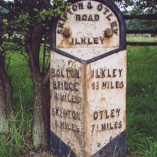
The moor is accessible through multiple marked walking trails that begin from different entry points around the area. Nearby towns offer accommodation, food, and other services for visitors planning a day trip or longer stay.
Around 400 stones marked with cup and ring patterns scatter across the moor, forming one of England's largest collections of prehistoric rock art. These carved marks date back to the Neolithic and Bronze Age periods.
The community of curious travelers
AroundUs brings together thousands of curated places, local tips, and hidden gems, enriched daily by 60,000 contributors worldwide.