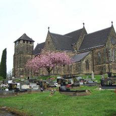
Saltwells Local Nature Reserve, Local nature reserve in Dudley, West Midlands, England.
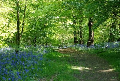
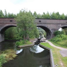
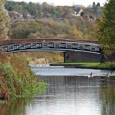
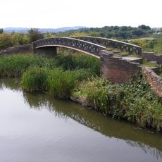
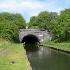
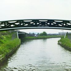
Saltwells Local Nature Reserve is a 247-acre site in Dudley featuring woodlands, grasslands, heathland, and wetlands connected by marked walking paths. These varied zones create distinct environments where different plants and animals live side by side.
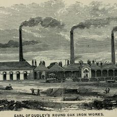
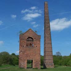
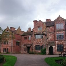
The site developed from medieval coal mining operations with roots in Roman times before becoming the county's first designated Local Nature Reserve in 1981. This transformation from industrial extraction to protected nature space marks a significant recovery of the land.
The reserve allows visitors to experience the local plant and animal life across its different habitats firsthand. Walking through the managed pathways, you can observe birds, insects, and rare plant species in their natural surroundings.
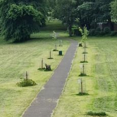
The site is free to visit with parking available at the Saltwells Lane entrance, making arrival straightforward. Well-maintained pathways accommodate different fitness levels, allowing visitors to explore at their own pace without physical strain.
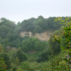
The reserve contains Doulton's Claypit, which displays rock formations that are 420 million years old from when the area lay beneath a tropical sea. These exposed layers reveal the dramatic geological changes the region has experienced over deep time.
The community of curious travelers
AroundUs brings together thousands of curated places, local tips, and hidden gems, enriched daily by 60,000 contributors worldwide.