Dunham-on-the-Hill and Hapsford, civil parish in Cheshire West and Chester, Cheshire, England
Location: Cheshire West and Chester
Shares border with: Elton, Thornton-le-Moors, Mickle Trafford and District, Barrow, Manley, Alvanley, Helsby
GPS coordinates: 53.26400,-2.79100
Latest update: March 10, 2025 09:29
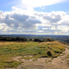
Helsby hill fort
2.1 km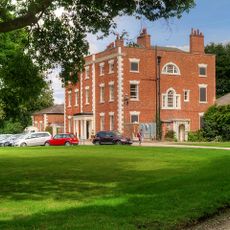
Trafford Hall
3.2 km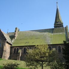
St Paul's Church, Helsby
2.5 km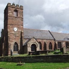
St Mary's Church, Thornton-le-Moors
3.2 km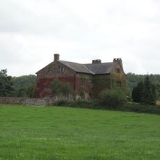
Alvanley Hall
3.1 km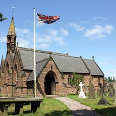
St John the Evangelist's Church, Alvanley
2.4 km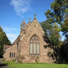
St Luke's Church, Dunham on the Hill
1.3 km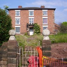
Hapsford Hall
52 m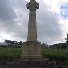
Helsby War Memorial
2.5 km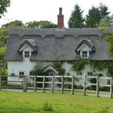
Commonside Farmhouse
3.1 km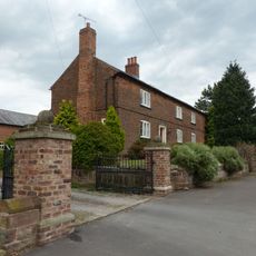
Smithy Farmhouse
1.9 km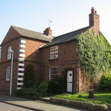
Laurels Farmhouse
1.9 km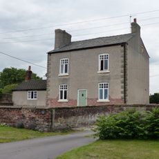
Manor Farmhouse
1.7 km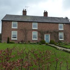
Little Barrow Hall
4.3 km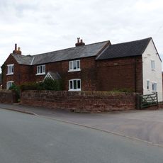
Town Farm Farmhouse
2 km
Dunhamhall Farmhouse
1.6 km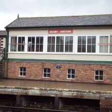
Helsby Junction Signal Box
1.8 km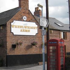
K6 Telephone Kiosk
1.9 km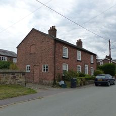
Pear Tree Farm House
1.7 km
Horns Farmhouse
755 m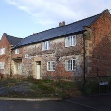
Rock Farmhouse
1.9 km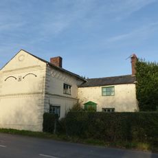
Poplar Tree Farmhouse
2.1 km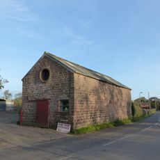
Shippon stable and cartshed 10 metres south east of Poplar Tree Farmhouse
2.2 km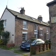
Alvanley House
1.9 km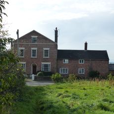
Church House Farmhouse and wall to front garden
2.5 km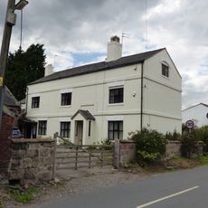
Manor Farmhouse
41 m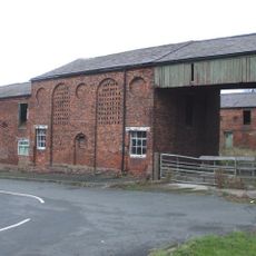
Barn at Hapsford Hall
84 m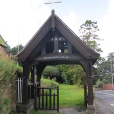
Lychgate to St Paul's Churchyard
2.4 kmVisited this place? Tap the stars to rate it and share your experience / photos with the community! Try now! You can cancel it anytime.
Discover hidden gems everywhere you go!
From secret cafés to breathtaking viewpoints, skip the crowded tourist spots and find places that match your style. Our app makes it easy with voice search, smart filtering, route optimization, and insider tips from travelers worldwide. Download now for the complete mobile experience.

A unique approach to discovering new places❞
— Le Figaro
All the places worth exploring❞
— France Info
A tailor-made excursion in just a few clicks❞
— 20 Minutes