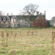
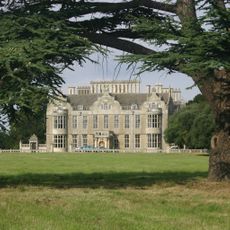
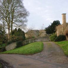
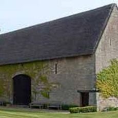
Lilford-cum-Wigsthorpe, civil parish in Northamptonshire, England
Location: North Northamptonshire
Part of: Lilford-cum-Wigsthorpe and Thorpe Achurch
GPS coordinates: 52.43755,-0.45982
Latest update: March 2, 2025 20:54
Barnwell Manor
1.9 km
Lilford Hall
2 km
Barnwell Castle
1.9 km
Thorpe Waterville Castle
3.1 km
Wadenhoe Marsh and Achurch Meadow
3.9 km
Church of St John the Baptist, Thorpe Achurch
2.7 km
Church of St Rumbald
3.7 km
Church of St James
3.8 km
Church of St Peter
3.8 km
Church of St Mary and All Saints
2.6 km
Church of St Andrew
1.7 km
27, Church Street
3.6 km
Bridge Approximately 75 Metres South Of Shuckburgh Arms Public House
3.8 km
Montague Arms Public House
1.6 km
Manor House
2.6 km
Barnwell Mill Restaurant
3.7 km
The Kings Head Public House And Attached Outbuilding
3.7 km
Wadenhoe Post Office
3.7 km
Bridge Approximately 10 Metres West Of The Montague Arms Public House
1.6 km
1-6, The Green
3.7 km
North Lodge Farmhouse
2.5 km
Parkers Patch
1.6 km
Manor Farm House And Attached Outbuilding
3.7 km
11 And 12, The Green
3.7 km
Shangrila
3.6 km
16, Main Street
3.6 km
South Lodge
3.6 km
Milestone, NE of B662 jct
1.4 kmVisited this place? Tap the stars to rate it and share your experience / photos with the community! Try now! You can cancel it anytime.
Discover hidden gems everywhere you go!
From secret cafés to breathtaking viewpoints, skip the crowded tourist spots and find places that match your style. Our app makes it easy with voice search, smart filtering, route optimization, and insider tips from travelers worldwide. Download now for the complete mobile experience.
A unique approach to discovering new places❞
— Le Figaro
All the places worth exploring❞
— France Info
A tailor-made excursion in just a few clicks❞
— 20 Minutes