
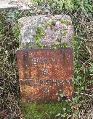
Milestone About 40 Metres South East Of Junction With Wadswick Lane
Milestone About 40 Metres South East Of Junction With Wadswick Lane, milestone in Box, Wiltshire, UK
Location: Box
Inception: 19 century
GPS coordinates: 51.40144,-2.21726
Latest update: March 3, 2025 01:53
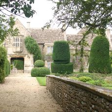
South Wraxall Manor
2.2 km
MoD Corsham
2.1 km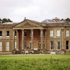
Neston Park
1.2 km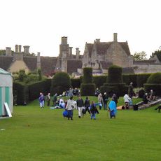
Hazelbury Manor
2 km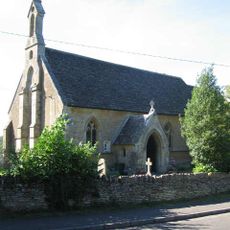
Church of St Phillip and St James
1.6 km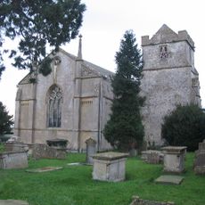
Church of St Michael and All Angels
1.5 km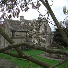
Chapel Plaister
1.3 km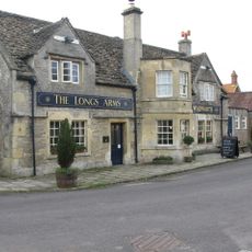
The Longs Arms
2.8 km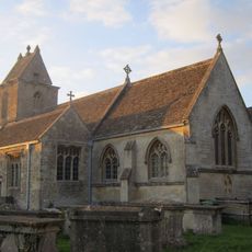
Church of St James
2.8 km
The Chequers Inn
2.8 km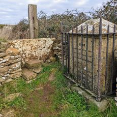
J H Speke Monument On Footpath To Lents Green, About 250 Metres North North West Of Wormwood Farmhouse
792 m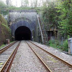
Box Tunnel East Portal
2.6 km
Coleridge House
2.8 km
The White Hart
2 km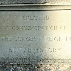
The Clock Tower
1.6 km
Cottles House
1.4 km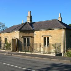
The Old Toll House
2.5 km
Dalebrook
2.8 km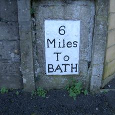
Milestone On South Side Set In Garden Wall Of Lyndale
2.7 km
3-7, Market Place
2.8 km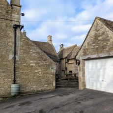
Bell House
1.3 km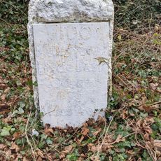
Milestone About 140 Metres North Of Junction With Lane To Box Hill
2.1 km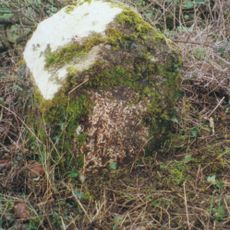
Milestone On South Side, About 100 Metres South East Of Hatt Lane
1.3 km
Frogmore House
2.8 km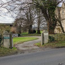
Wormwood Farmhouse
549 m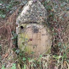
Milestone At Intersection Of A365 And Kingsdown Road
1.1 km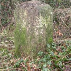
Milestone, New House Farm; 25m W farmhouse
2.7 km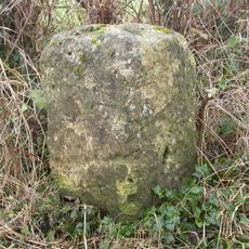
Milestone, Cock Road Plantation, Atworth; 225m W farm buildings
2.1 kmReviews
Visited this place? Tap the stars to rate it and share your experience / photos with the community! Try now! You can cancel it anytime.
Discover hidden gems everywhere you go!
From secret cafés to breathtaking viewpoints, skip the crowded tourist spots and find places that match your style. Our app makes it easy with voice search, smart filtering, route optimization, and insider tips from travelers worldwide. Download now for the complete mobile experience.

A unique approach to discovering new places❞
— Le Figaro
All the places worth exploring❞
— France Info
A tailor-made excursion in just a few clicks❞
— 20 Minutes