
Thompson Headstone 6 Metres West Of Church Of St. Andrews
Thompson Headstone 6 Metres West Of Church Of St. Andrews, tombstone in Shotley Low Quarter, Northumberland, UK
Location: Shotley Low Quarter
GPS coordinates: 54.89143,-1.93109
Latest update: March 20, 2025 12:01
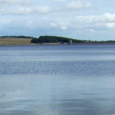
Derwent Reservoir
4.3 km
Vindomora
5.9 km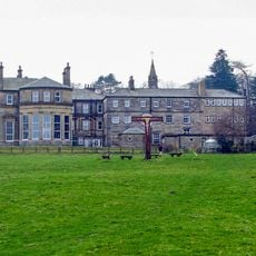
Minsteracres
2.1 km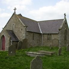
St Andrew's Church
9 m
Burnhope Burn
4.7 km
Shotley Hall
5 km
Shotley Park
5.2 km
Pow Hill Bog
4.9 km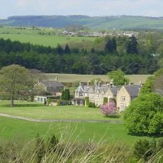
Hindley Hall
4 km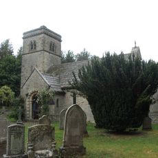
Church of St John
4.4 km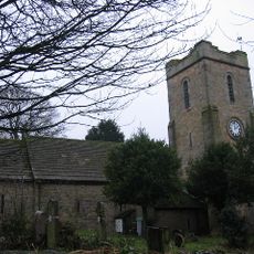
Church of St Ebba
5.8 km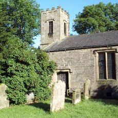
St Philip & St James
3.3 km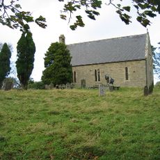
Church of All Saints
5.2 km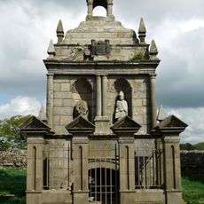
Hopper Mausoleum north-east of Church of St Andrew
30 m
Allensford Mill Farmhouse And Adjacent Outbuildings
5.8 km
Remains Of Manor House At Priory Farm
5.2 km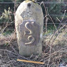
Milestone 110 Metres North Of Entrance To Eddisbridge Farm
3.9 km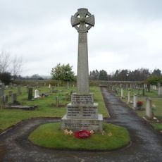
Shotley Low Quarter War Memorial
3.2 km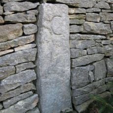
Boundary Stone At Ngr Ny 98635454
5.9 km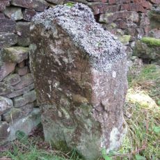
Boundary Stone On South Side Of Road At Ngr Ny 99315478
5.2 km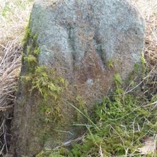
Boundary Stone About 500 Metres North East Of Shotley Spa
5.1 km
Crooked Oak Farmhouse
5.6 km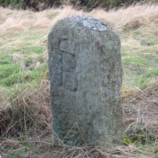
The Hare Stone
4.8 km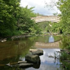
Shotley Bridge
5.2 km
Grange Farmhouse And Gin Gang
5.1 km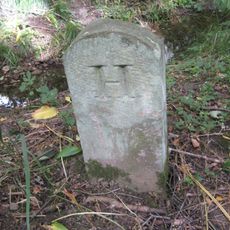
Boundary Stone At Ngr Nz 09705632, On West Side Of Mill Burn
5.3 km
Donald's Grave, On South Side Of Road 10 Metres East Of Track To Slaley Hall
4.5 km
Boundary Stone 10 Metres North Of Road 700 Metres East Of Farmhouse
1.6 kmReviews
Visited this place? Tap the stars to rate it and share your experience / photos with the community! Try now! You can cancel it anytime.
Discover hidden gems everywhere you go!
From secret cafés to breathtaking viewpoints, skip the crowded tourist spots and find places that match your style. Our app makes it easy with voice search, smart filtering, route optimization, and insider tips from travelers worldwide. Download now for the complete mobile experience.

A unique approach to discovering new places❞
— Le Figaro
All the places worth exploring❞
— France Info
A tailor-made excursion in just a few clicks❞
— 20 Minutes