
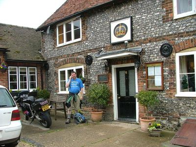
The Crown Public House, pub in Nuffield, South Oxfordshire, Oxfordshire, UK
Location: Nuffield
Address: Nuffield, Henley-On-Thames, RG9 5SJ RG9 5SJ RG9 5SJ
GPS coordinates: 51.58398,-1.02666
Latest update: April 15, 2025 07:00
Crocker End House
3.3 km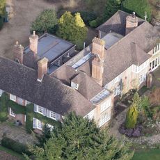
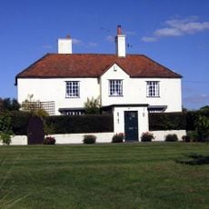
Nuffield Place
365 m
Nuffield Place (National Trust)
417 m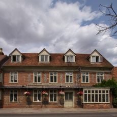
The White Hart Hotel
2.6 km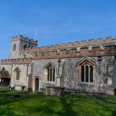
Church of St Mary, Ewelme
4.7 km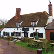
The Crooked Billet Public House
3.5 km
Church of St Mary
4.6 km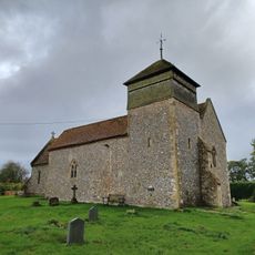
Church of the Holy Trinity
843 m
Church of St Bartholomew, Nettlebed
2.5 km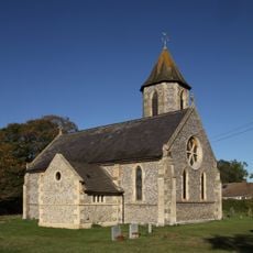
Church of St John the Evangelist
3.7 km
Church of St Botolph
2.6 km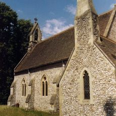
Church of St Paul
4.2 km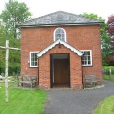
Stoke Row Independent Chapel
3.8 km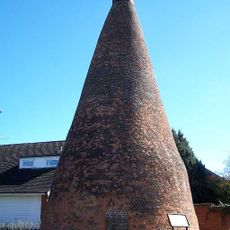
Nettlebed Kiln
2.8 km
Maharajah's Well
3.6 km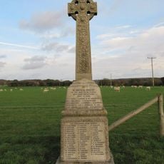
Ipsden war memorial
4.7 km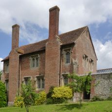
Ewelme Church Of England Primary School
4.7 km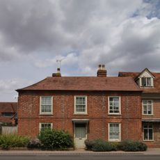
Myrtles
2.6 km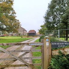
Howberry Wood Farmhouse
2.4 km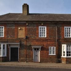
1 and 3, High Street
2.7 km
Grim's Ditch; portion from Mongewell Park Lodge to S of Nuffield church
3.3 km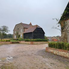
Howberry Wood Farm, Granary Approximately 5 Metres East Of Farmhouse
2.4 km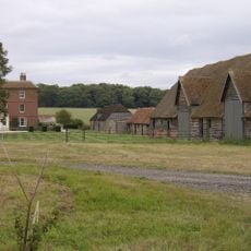
English Farmhouse
1.6 km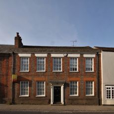
7, High Street
2.7 km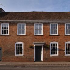
25, High Street
2.6 km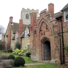
Gods Place, And Lobby To Church Of St Mary
4.7 km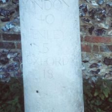
Milestone, High Street; W of church, E of petrol station
2.4 km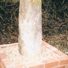
Milestone, Port Hill; 20m W of lane to Hayden Farm
918 mReviews
Visited this place? Tap the stars to rate it and share your experience / photos with the community! Try now! You can cancel it anytime.
Discover hidden gems everywhere you go!
From secret cafés to breathtaking viewpoints, skip the crowded tourist spots and find places that match your style. Our app makes it easy with voice search, smart filtering, route optimization, and insider tips from travelers worldwide. Download now for the complete mobile experience.

A unique approach to discovering new places❞
— Le Figaro
All the places worth exploring❞
— France Info
A tailor-made excursion in just a few clicks❞
— 20 Minutes