
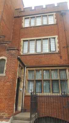
Guardian Angels Presbytery, building in Tower Hamlets, Greater London, UK
Location: London Borough of Tower Hamlets
GPS coordinates: 51.52487,-0.03606
Latest update: March 8, 2025 17:54
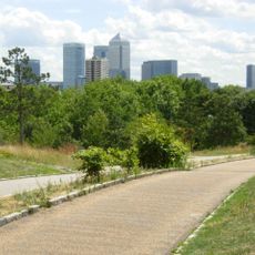
Mile End Park
31 m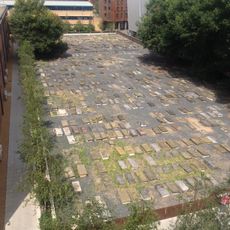
Novo Cemetery
225 m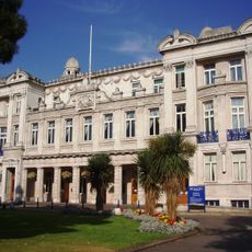
Queens' Building
352 m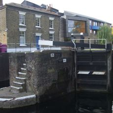
Mile End Lock
139 m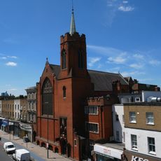
The Guardian Angels Roman Catholic Church
13 m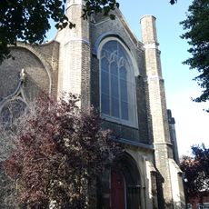
Holy Trinity Church
317 m
St Benet's Chapel
296 m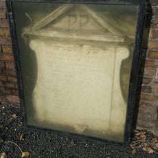
1733 Foundation Plaque In South Wall Of Novo Cemetery
225 m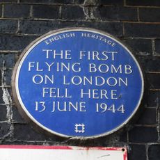
First Flying bomb on London fell here (blue plaque), Tower Hamlets
341 m
19-21, Rhondda Grove E3
291 m
5-11, Aberavon Road E3
143 m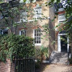
23, Rhondda Grove E3
275 m
43 And 45, Aberavon Road E3
191 m
27-32, Tredegar Square E3
368 m
439-455, Mile End Road E1
332 m
24 And 25, Rhondda Grove E3
272 m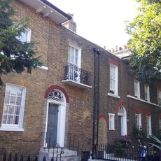
6-11, Rhondda Grove E3
227 m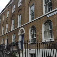
53-64, Tredegar Square E3
355 m
1, Aberavon Road E3
131 m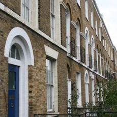
415-437, Mile End Road E1
261 m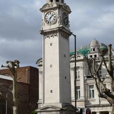
Drinking fountain and clock tower at Queen Mary College
353 m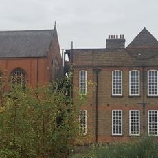
Guardian Angels Roman Catholic Primary School
34 m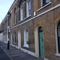
33-41, Aberavon Road E3
173 m
28-31, Rhondda Grove E3
255 m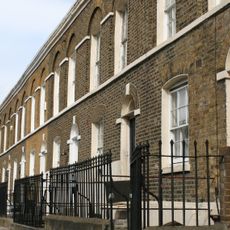
2-34 Aberavon Road and area railings
200 m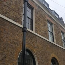
3, Aberavon Road E3
137 m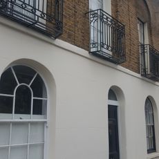
13-31, Aberavon Road E3
149 m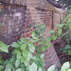
South East And South West Boundary Walls To Jewish Burial Ground
286 mReviews
Visited this place? Tap the stars to rate it and share your experience / photos with the community! Try now! You can cancel it anytime.
Discover hidden gems everywhere you go!
From secret cafés to breathtaking viewpoints, skip the crowded tourist spots and find places that match your style. Our app makes it easy with voice search, smart filtering, route optimization, and insider tips from travelers worldwide. Download now for the complete mobile experience.

A unique approach to discovering new places❞
— Le Figaro
All the places worth exploring❞
— France Info
A tailor-made excursion in just a few clicks❞
— 20 Minutes