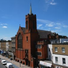
Mile End Park, Public park in Tower Hamlets, London, England
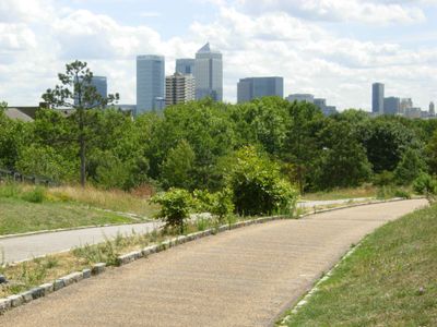
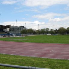
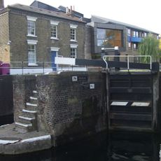
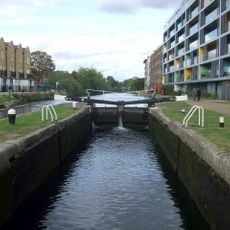
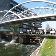
Mile End Park is a linear park spanning approximately 32 hectares along the eastern side of Regent's Canal, extending from Victoria Park to Limehouse Basin. The space includes a leisure center, climbing wall, outdoor gym, ecology center, and dedicated children's play areas.
Before World War II, the land was an industrial zone that was destroyed by bombing. This destruction led to post-war plans to transform the site into public green space.
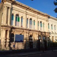
The Art Pavilion serves as a gallery space showcasing rotating artworks and hosting cultural events throughout the year. Visitors regularly encounter different perspectives on contemporary and traditional art practices within this dedicated venue.
The park connects its different zones and activity areas in a linear layout, making navigation straightforward without backtracking. Visitors can easily access all facilities through wide, level pathways suitable for all mobility needs.
A distinctive Green Bridge designed by architect Piers Gough spans across Mile End Road, maintaining the park's spatial continuity despite the busy street below. This pedestrian crossing allows visitors to traverse the thoroughfare while remaining within the green experience.
Location: London Borough of Tower Hamlets
Operator: Tower Hamlets Council
Website: https://towerhamlets.gov.uk/mileendpark
GPS coordinates: 51.52611,-0.03750
Latest update: December 9, 2025 18:42
St Dunstan's, Stepney
1.1 km
Ragged School Museum
823 m
Mile End Hospital
413 m
Mile End Stadium
839 m
Novo Cemetery
219 m
Statue of Clement Attlee
418 m
People's Palace
415 m
The Palm Tree
406 m
Lord Tredegar Public House
372 m
St Paul's Bow Common
1.1 km
Queens' Building
356 m
Mile End Lock
118 m
St Barnabas Bethnal Green
582 m
Sylvia Pankhurst
289 m
Johnson's Lock
718 m
The Guardian Angels Roman Catholic Church
168 m
Salmon Lane Lock
1.3 km
Tower Hamlets Local History Library and Archives
423 m
Holy Trinity Church
271 m
Iron Railings, Gate Piers And Gates At St Dunstan's Churchyard
1.1 km
1733 Foundation Plaque In South Wall Of Novo Cemetery
221 m
St Benet's Chapel
341 m
Stepney War Memorial
1.1 km
26 Tredegar Square
387 m
First Flying bomb on London fell here (blue plaque), Tower Hamlets
192 m
The Mercer's Arms Public House
1.3 km
Professional Development Centre (Formerly South Grove School), With Associated Handicraft/Woodwork Block, Boundary Wall And Iron Gates
652 m
5-11, Aberavon Road E3
197 mVisited this place? Tap the stars to rate it and share your experience / photos with the community! Try now! You can cancel it anytime.
Discover hidden gems everywhere you go!
From secret cafés to breathtaking viewpoints, skip the crowded tourist spots and find places that match your style. Our app makes it easy with voice search, smart filtering, route optimization, and insider tips from travelers worldwide. Download now for the complete mobile experience.
A unique approach to discovering new places❞
— Le Figaro
All the places worth exploring❞
— France Info
A tailor-made excursion in just a few clicks❞
— 20 Minutes