
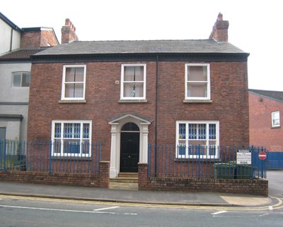
213, Chestergate, building in Stockport, Greater Manchester, UK
Location: Stockport
Address: 213, Chestergate, Stockport, Greater Manchester, SK3
GPS coordinates: 53.40831,-2.16889
Latest update: March 19, 2025 20:50
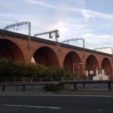
Stockport Viaduct
257 m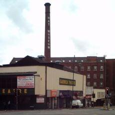
Hat Works
457 m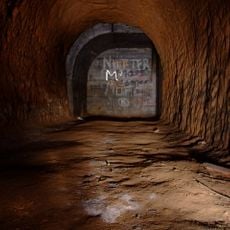
Stockport Air Raid Shelters
659 m
Stockport Town Hall
737 m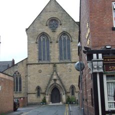
St Joseph's Church, Stockport
748 m
Christ Church, Heaton Norris
682 m
Wear Mill
179 m
Garrick Theatre
487 m
St Peter's Church, Stockport
608 m
Stockport Armoury
726 m
Millennium House
680 m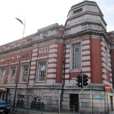
Stockport Central Library
547 m
St Matthew's Church
623 m
Wycliffe Congregational Chapel
506 m
Statue of Richard Cobden
611 m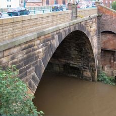
Wellington Bridge
435 m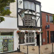
Swan With Two Necks Public House
686 m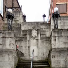
Steps adjacent to former Plaza Cinema
492 m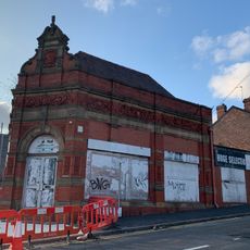
52, Wellington Road North
494 m
Wellington Mill
447 m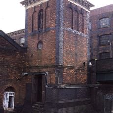
Engine house to former London and North Western Railway Goods Warehouse
723 m
St Peters Chambers
685 m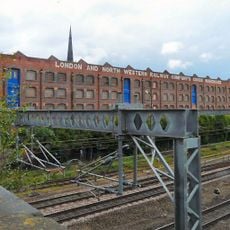
Former London and North Western Railway Goods Warehouse
651 m
30 and 32, Great Underbank
742 m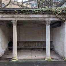
Shelter (west of Stockport Art Galley)
753 m
24-28, Great Underbank
753 m
Hollywood Park Centre
94 m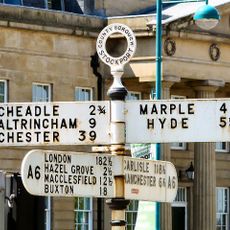
Guidepost
751 mReviews
Visited this place? Tap the stars to rate it and share your experience / photos with the community! Try now! You can cancel it anytime.
Discover hidden gems everywhere you go!
From secret cafés to breathtaking viewpoints, skip the crowded tourist spots and find places that match your style. Our app makes it easy with voice search, smart filtering, route optimization, and insider tips from travelers worldwide. Download now for the complete mobile experience.

A unique approach to discovering new places❞
— Le Figaro
All the places worth exploring❞
— France Info
A tailor-made excursion in just a few clicks❞
— 20 Minutes