
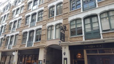
2-16, Creechurch Lane Ec3, City of London, Greater London, EC3A
Location: City of London
Address: 2-16, Creechurch Lane Ec3, City of London, Greater London, EC3A
GPS coordinates: 51.51365,-0.07909
Latest update: March 4, 2025 09:34
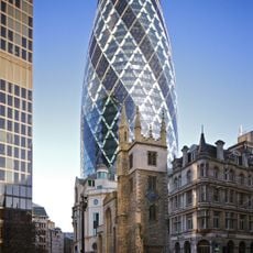
The Gherkin, 30 St Mary Axe
120 m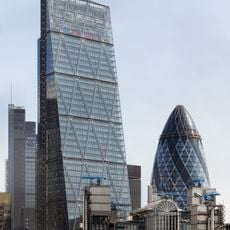
122 Leadenhall Street
209 m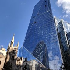
The Scalpel
170 m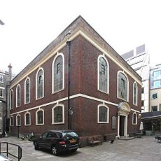
Bevis Marks Synagogue
94 m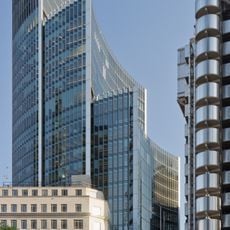
Willis Building
187 m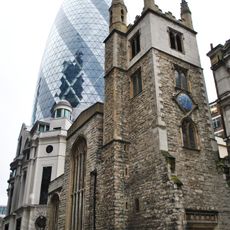
St Andrew Undershaft
154 m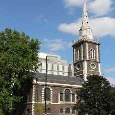
St Botolph's Aldgate
208 m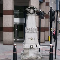
Aldgate Pump
99 m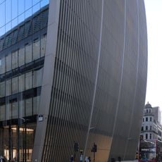
70 St Mary Axe
191 m
40 Leadenhall Street
88 m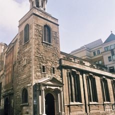
Church of St Katharine Cree, London
27 m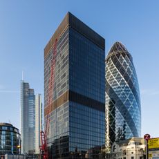
St. Helen's
216 m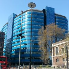
St Botolph Building
189 m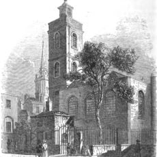
St James Duke's Place
113 m
The Exchange Building
187 m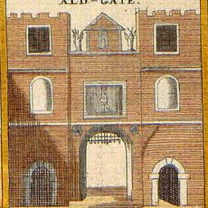
Aldgate
160 m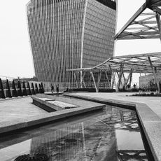
Rooftop garden 120 Fenchurch
195 m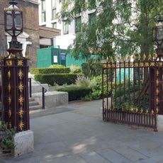
Iron Gateway To Yard Of Church Of St Botolph
196 m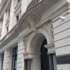
72-75, Fenchurch Street Ec3
126 m
Sir John Cass College
204 m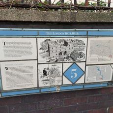
London Wall: remains of Roman wall, bastions and city gate of Aldgate from 17 Bevis Marks to India Street
121 m
38, St Mary Axe EC3
173 m
20 And 21, Billiter Street Ec3
132 m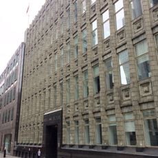
Holland House
64 m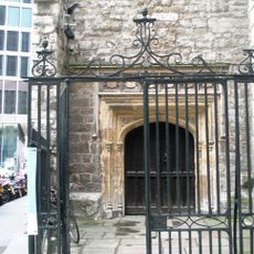
Iron Gates And Railings To Entrance Of Church Of St Andrew Undershaft
157 m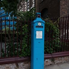
Police Public Callbox Outside St Botolph Aldgate Church
209 m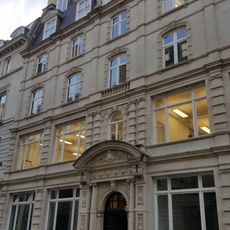
Lloyd's Avenue House
215 m
Lloyd's Registry
142 mVisited this place? Tap the stars to rate it and share your experience / photos with the community! Try now! You can cancel it anytime.
Discover hidden gems everywhere you go!
From secret cafés to breathtaking viewpoints, skip the crowded tourist spots and find places that match your style. Our app makes it easy with voice search, smart filtering, route optimization, and insider tips from travelers worldwide. Download now for the complete mobile experience.

A unique approach to discovering new places❞
— Le Figaro
All the places worth exploring❞
— France Info
A tailor-made excursion in just a few clicks❞
— 20 Minutes