
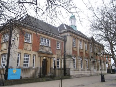
Former County School, building in Haringey, Greater London, UK
Location: London Borough of Haringey
GPS coordinates: 51.58794,-0.07262
Latest update: March 9, 2025 17:28
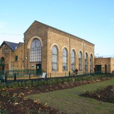
Markfield Beam Engine and Museum
1 km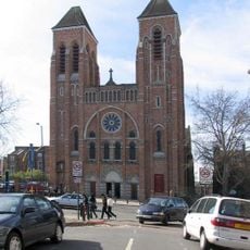
St Ignatius Church, Stamford Hill
1.2 km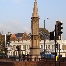
Tottenham High Cross
203 m
Lordship Recreation Ground
1.2 km
Bernie Grant Arts Centre
46 m
Tottenham Town Hall
88 m
Brook Street Chapel
634 m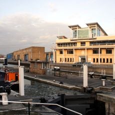
Tottenham Lock
1.1 km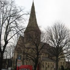
St Ann's Church
1.1 km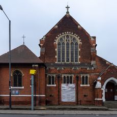
St Philip the Apostle, Tottenham
746 m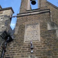
Fowler Newsam Hall
1.1 km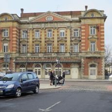
Tottenham Palace Theatre
383 m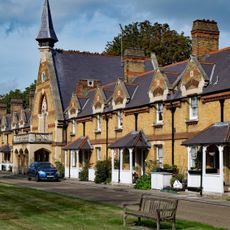
Chapel At Drapers' Almshouses The Drapers' Almshouses
1.1 km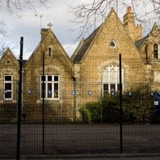
St Ann's Church School
1.1 km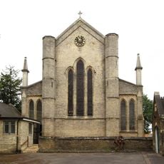
Church of Holy Trinity
90 m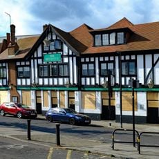
The Beehive Public House
533 m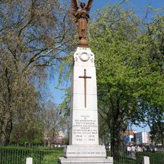
Tottenham War Memorial
148 m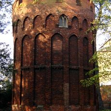
Tower to south west of Bruce Castle
1.2 km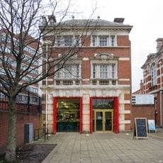
Former Tottenham Fire Station
104 m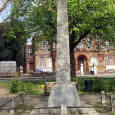
West Green and Tottenham War Memorial
1 km
5 And 6, Bruce Grove N17
740 m
Pair Of Houses In North East Part Of Prince Of Wales's General Hospital Grounds
183 m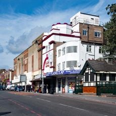
Public Toilet
752 m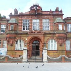
Education Offices, Downhills School And Railings And Walls To Front
1 km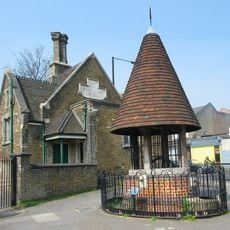
Old Well And Well House
131 m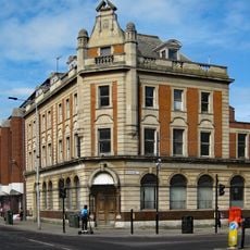
Barclay's Bank
417 m
8-18, Lordship Lane N17
1.2 km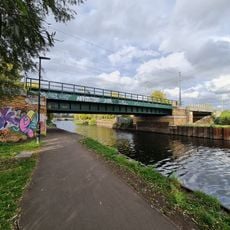
Edwin John Low Bridge
1.2 kmReviews
Visited this place? Tap the stars to rate it and share your experience / photos with the community! Try now! You can cancel it anytime.
Discover hidden gems everywhere you go!
From secret cafés to breathtaking viewpoints, skip the crowded tourist spots and find places that match your style. Our app makes it easy with voice search, smart filtering, route optimization, and insider tips from travelers worldwide. Download now for the complete mobile experience.

A unique approach to discovering new places❞
— Le Figaro
All the places worth exploring❞
— France Info
A tailor-made excursion in just a few clicks❞
— 20 Minutes