
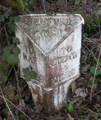
Milestone About 4130 Metres East South East Of Church Of St Mary
Milestone About 4130 Metres East South East Of Church Of St Mary, milestone in Clifford, County of Herefordshire, UK
Location: Clifford
Inception: 1840
GPS coordinates: 52.08719,-3.03491
Latest update: March 6, 2025 00:46

Arthur's Stone, Herefordshire
2.8 km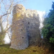
Snodhill Castle
4.5 km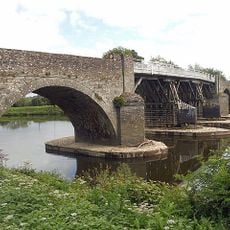
Whitney-on-Wye toll bridge
5 km
Bredwardine Castle
4.4 km
Dorstone Castle
2.9 km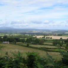
Dorstone Hill
3.6 km
Church of St Faith
3 km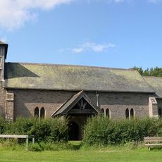
Church of St. Michael and All Angels
3.3 km
Church of the Holy Trinity
2.1 km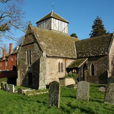
Church of St John the Baptist
5.1 km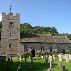
Church of St Peter and St Paul, Whitney-on-Wye
4.5 km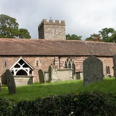
Church of St Andrew
4.4 km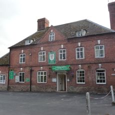
Red Lion Hotel
4.1 km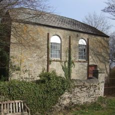
Methodist Chapel
3.8 km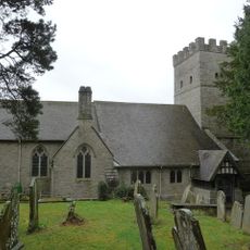
Church of St Mary
4.2 km
Base Of Village Cross About 100 Yards West-North-West Of The Church Of St Michael
3.4 km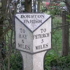
Milestone About 250 Metres North-East Of Church Of St Faith
3 km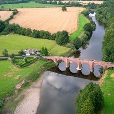
Bredwardine Bridge
4.6 km
Willersley Court
4.2 km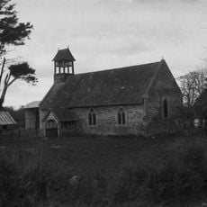
Magdalene House
4.2 km
Dorstone village cross
3 km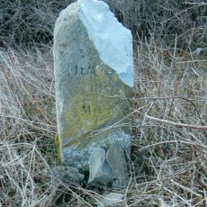
Milestone, Willersley Court; 300m E
3.8 km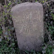
Milestone, Knapp Farm
3.9 km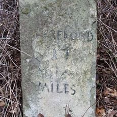
Milestone, 150m E of toll bridge
4.9 km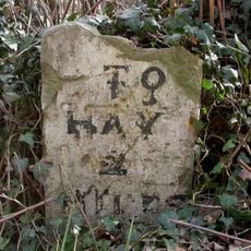
Milestone, Rock Coppice; 150m E Clifford turn against hedgerow
3.2 km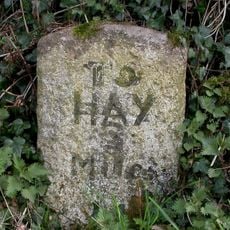
Milestone, Peny Park, top of East Hill
2.1 km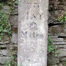
Milestone, Village
5 km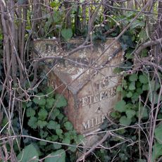
Milepost, below Asper Wood
1.6 kmVisited this place? Tap the stars to rate it and share your experience / photos with the community! Try now! You can cancel it anytime.
Discover hidden gems everywhere you go!
From secret cafés to breathtaking viewpoints, skip the crowded tourist spots and find places that match your style. Our app makes it easy with voice search, smart filtering, route optimization, and insider tips from travelers worldwide. Download now for the complete mobile experience.

A unique approach to discovering new places❞
— Le Figaro
All the places worth exploring❞
— France Info
A tailor-made excursion in just a few clicks❞
— 20 Minutes