
Pump C. 20 Metres North-West Of Friars' Cote Farmhouse
Pump C. 20 Metres North-West Of Friars' Cote Farmhouse, building in Streatlam and Stainton, County Durham, UK
Location: Streatlam and Stainton
GPS coordinates: 54.58318,-1.86686
Latest update: October 29, 2025 01:35
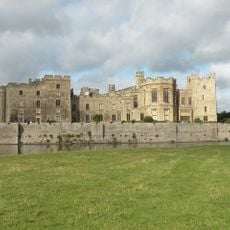
Raby Castle
4.3 km
The Greek Slave
4.3 km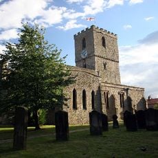
Church of St Mary, Staindrop
4.4 km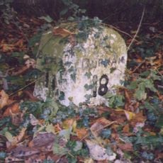
Milestone Approximately C.800 Metres North Of Church Bridge, Staindrop
4.6 km
Vane Mausoleum Approximately 100 Metres North Of Church Of St. Mary
4.4 km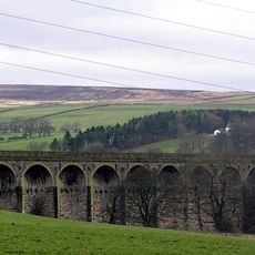
Langley Viaduct
2.3 km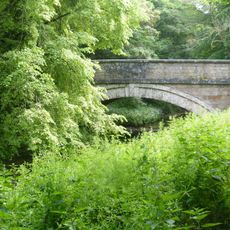
Church Bridge Over Langley Beck
4.5 km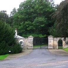
North Gatehouse And Walls Attached Enclosing Castle; Gate House Formerly Listed As 'porter's Lodge'
4.3 km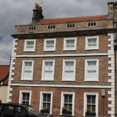
7, Front Street
4.1 km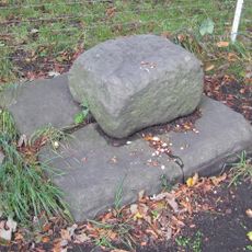
Base Stone Of Cross
3.9 km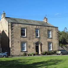
Raby House
3.9 km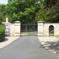
South Entrance Gateway To Raby Castle
4.4 km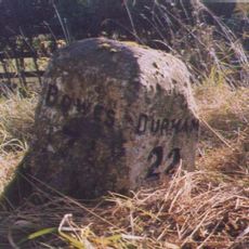
Milestone Approximately 150 Metres West Of Streatlam Castle South Lodges
2.2 km
Milestone In Front Of Willowfield
4.6 km
Milestone, 600 Metres North-East Of High Barford Farmhouse
2.4 km
Milestone, 300 Metres East Of Junction With Mount Eff Road
4.3 km
Milestone, 50 Metres North Of Arlaw Banks
4.4 km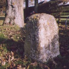
Milestone At Stainton Grove, C. 70 Metres North-West Of Post Office
3.4 km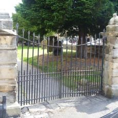
Gates Piers And Gates C.50 Metres South-West Of Church Of St. Mary
4.4 km
Township Road Marker Stone At Junction With Billy Lane
4.3 km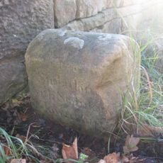
Township Road Marker Stone On Forthburn Bridge
2.4 km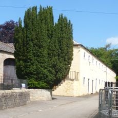
Stable Block North-East Of Stables And Coach-House
4.4 km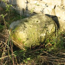
Township Stone Opposite New Broomielaw
3.3 km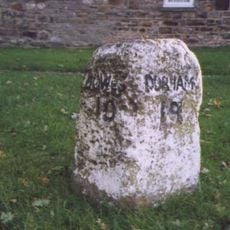
Milestone Approximately 10 Metres North Of No. 34 South Green
3.9 km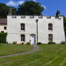
Byre House
4.4 km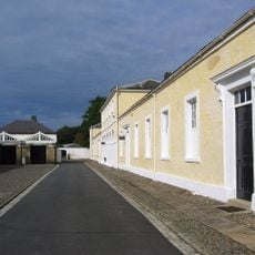
Stables And Coachhouse, With Wall And Mounting-block Attached
4.3 km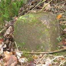
Parish Boundary Stone C.100 Metres East Of Lead Mill House, On South Side Of Road
4.2 km
Hawton Lane End, jct of UC road to Kinninvie, NW of Barnard Castle
4.3 kmReviews
Visited this place? Tap the stars to rate it and share your experience / photos with the community! Try now! You can cancel it anytime.
Discover hidden gems everywhere you go!
From secret cafés to breathtaking viewpoints, skip the crowded tourist spots and find places that match your style. Our app makes it easy with voice search, smart filtering, route optimization, and insider tips from travelers worldwide. Download now for the complete mobile experience.

A unique approach to discovering new places❞
— Le Figaro
All the places worth exploring❞
— France Info
A tailor-made excursion in just a few clicks❞
— 20 Minutes