
Milestone Near Parish Boundary With Donhead St Andrew
Milestone Near Parish Boundary With Donhead St Andrew, milestone in Ansty, Wiltshire, UK
Location: Ansty
Inception: 18 century
GPS coordinates: 51.02009,-2.09041
Latest update: March 4, 2025 19:14

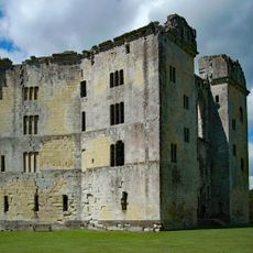
Old Wardour Castle
1.8 km
Ferne House
2.4 km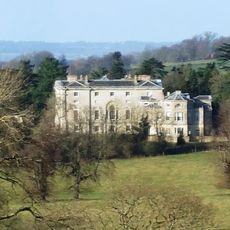
New Wardour Castle
2.6 km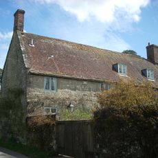
Shute House
3.3 km
Norrington Manor
2.9 km
Gallows Hill SSSI, Wiltshire
1.4 km
Church of St Andrew
2.3 km
Church of St John
2.3 km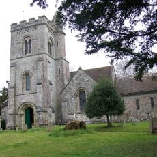
Church of St Peter
3.7 km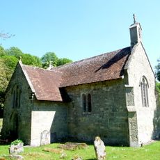
Church of St James
2.6 km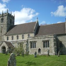
Church of St Mary
3.1 km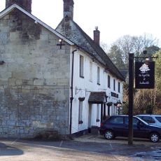
The Royal Oak
3.8 km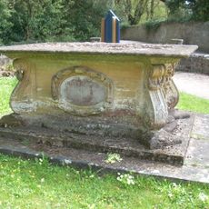
Pender Monument In The Churchyard, About 10 Metres South Of The Church Of St Andrew
2.3 km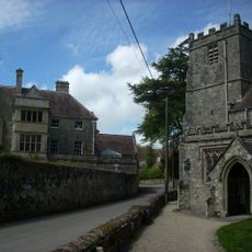
Donhead House
2.4 km
Wardour Castle Chapel
2.6 km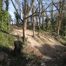
Winkelbury Hill earthworks
3.7 km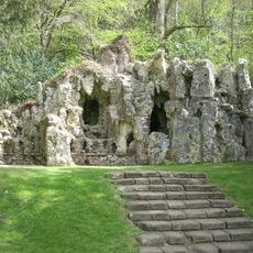
Grotto To North East Of Old Wardour Castle
1.9 km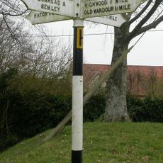
Guidepost Opposite Hazeldon Old Manor
3.5 km
Carpenters
3.5 km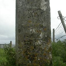
Whitesheet Hill milestone
577 m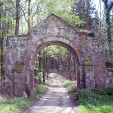
Archway On Trackway To South West Of Old Wardour
1.7 km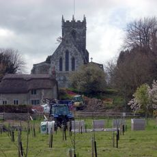
The Croft
3 km
Old Wardour House
1.7 km
Guide Post At Cross Roads
2.2 km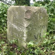
Milestone About 250 Metres To South West Of New Barn Lodge
1.6 km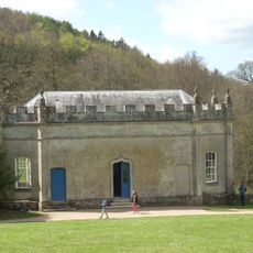
Banqueting House At Old Wardour Park
1.8 km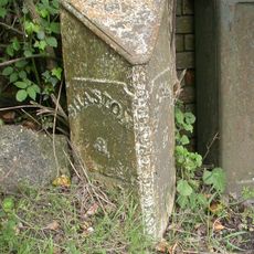
Milepost, Ludwell; E of village next to jcn Dennis Lane
3.1 km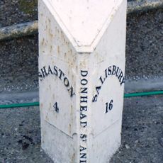
Milepost In Front Of Number 150
1.6 kmReviews
Visited this place? Tap the stars to rate it and share your experience / photos with the community! Try now! You can cancel it anytime.
Discover hidden gems everywhere you go!
From secret cafés to breathtaking viewpoints, skip the crowded tourist spots and find places that match your style. Our app makes it easy with voice search, smart filtering, route optimization, and insider tips from travelers worldwide. Download now for the complete mobile experience.

A unique approach to discovering new places❞
— Le Figaro
All the places worth exploring❞
— France Info
A tailor-made excursion in just a few clicks❞
— 20 Minutes