
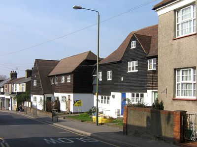
4,6,8 And 8A, Kent Road, building in Bromley, Greater London, UK
Location: London Borough of Bromley
GPS coordinates: 51.38639,0.11238
Latest update: March 8, 2025 17:00
Crofton Roman Villa
2.3 km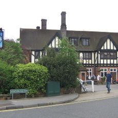
Daylight Inn
2.6 km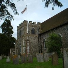
Church of All Saints, Orpington
1.1 km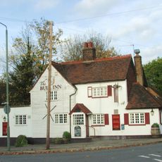
The Bull
1.9 km
The Warren
1.7 km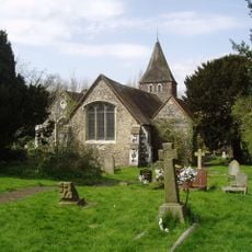
Church of St Paulinus
1.7 km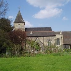
Church of St Mary
995 m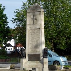
Orpington War Memorial
1.8 km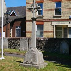
St Mary Cray War Memorial
986 m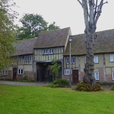
Outbuildings In The Grounds Of The Priory
1 km
The Blue Anchor Public House
1.1 km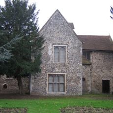
Orpington Priory
988 m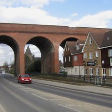
Cray Viaduct
916 m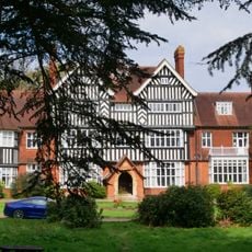
Goddington House
2 km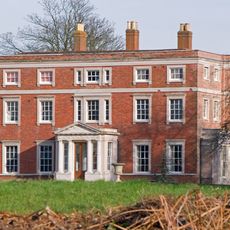
Kevington County Primary School
892 m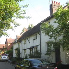
1-3, Chapmans Lane
1.9 km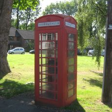
K6 Telephone Kiosk Junction Of Sandy Lane
1.9 km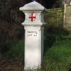
Coal Taxpost Outside No 49
2.3 km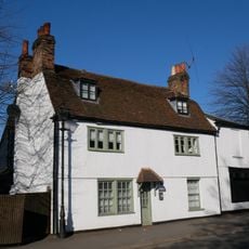
Lime Tree House
1.1 km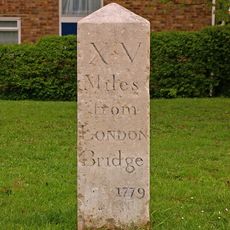
Milestone At Corner Of Dalton Close And Tubbenden Lane
2.6 km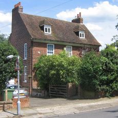
Perry Hall Farmhouse
1.2 km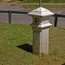
Coal Taxpost By Entrance To Recreation Ground
2.4 km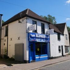
87, High Street
741 m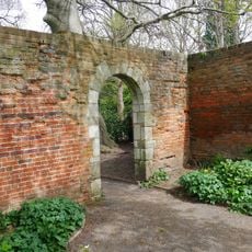
Two Garden Walls 30 Yards North Of The Priory
989 m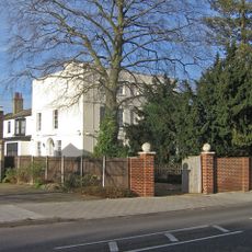
Crofton Court
2.6 km
316 And 318, High Street
78 m
Barn Hawe
1.1 km
5-9, High Street
1 kmReviews
Visited this place? Tap the stars to rate it and share your experience / photos with the community! Try now! You can cancel it anytime.
Discover hidden gems everywhere you go!
From secret cafés to breathtaking viewpoints, skip the crowded tourist spots and find places that match your style. Our app makes it easy with voice search, smart filtering, route optimization, and insider tips from travelers worldwide. Download now for the complete mobile experience.

A unique approach to discovering new places❞
— Le Figaro
All the places worth exploring❞
— France Info
A tailor-made excursion in just a few clicks❞
— 20 Minutes