Vauxhall Bridge, Grade II listed footbridge in Bristol, England.
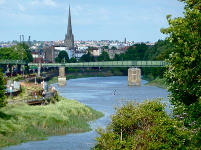
Vauxhall Bridge is a Grade II listed cast iron footbridge in Bristol that crosses the New Cut, a man-made channel of the River Avon. It is a swing bridge, meaning its central section was built to rotate sideways and let river traffic pass through.
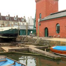
Before the bridge was built, people crossed the New Cut here by ferry. The bridge replaced that service in 1900, and its movable section stopped being used in 1936 when ships no longer came through this part of the river.
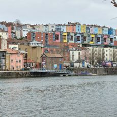
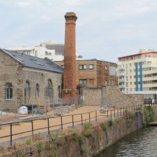
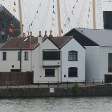
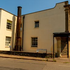
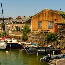
The bridge sits at the edge of a quiet residential area south of the New Cut, linking two parts of the city that would otherwise feel quite separate. Walking along the bank gives a close view of the cast iron details and shows how carefully the structure was put together.
The bridge is currently closed to pedestrians for repair work, so it is worth checking its status before heading there. The structure is visible from the footpaths along both banks of the New Cut, even when you cannot cross it.
The rotating central section of the bridge was one of the longest swing spans in Bristol when it was built, at around 158 feet (48 meters). Although the mechanism has not moved in nearly a century, it is still in place and can be seen by those who look closely at the structure.
The community of curious travelers
AroundUs brings together thousands of curated places, local tips, and hidden gems, enriched daily by 60,000 contributors worldwide.