Underfall Yard, Maritime heritage complex in Bristol, England
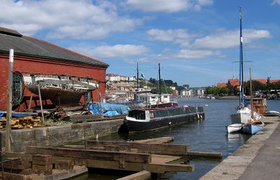
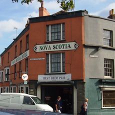
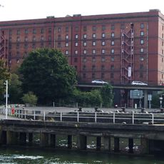
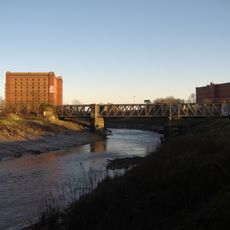
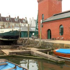
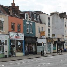
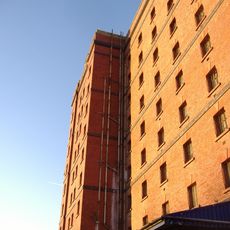
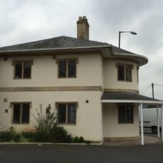
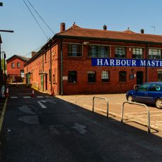
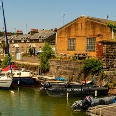
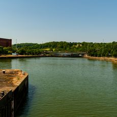
Underfall Yard is a maritime complex with industrial buildings, workshops, and a slipway along Bristol's Floating Harbour that has supported shipping activities since its construction. The site includes several functioning areas for repairs and educational programmes.
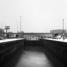
William Jessop completed the initial construction in 1809, followed by Isambard Kingdom Brunel's significant improvements to the sluice systems in the 1830s. These engineering advances allowed Bristol to flourish as a port.
The Visitor Centre displays interactive exhibits about Bristol's shipbuilding past, including a large map and the Human Accumulator demonstration. These displays offer insight into the engineering that powered harbour work.
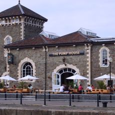
The site is accessible with boat repair workshops, a cafe, and guided tours, though some areas remain active working spaces. Visitors should wear weather-appropriate clothing, as many zones offer open-air exposure.
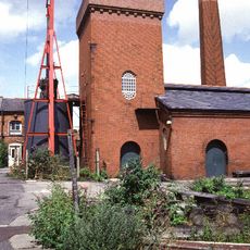
Three original electric pumping engines from 1907 remain in the Pump Room, showing the hydraulic power systems that drove Bristol's port machinery. These motors are rare survivors from an era before modern technology took over.
Location: City of Bristol
Industry: shipbuilding
Website: http://underfallyard.co.uk
GPS coordinates: 51.44650,-2.61755
Latest update: December 10, 2025 16:27
Cumberland Basin
221 m
Vauxhall Bridge
402 m
Pump House, Bristol
201 m
Nova Scotia
113 m
B Bond Tobacco Warehouse
138 m
Ashton Avenue Bridge
305 m
Church of Holy Trinity, Hotwells
443 m
Chimney of Hydraulic Engine House
68 m
Underfall yard
56 m
Patent Slip And Quay Walls
50 m
Atyeo
295 m
The Bear Public House (263) And Attached Ramped Walls And Steps To Number 265
450 m
Plimsoll Swing Bridge
436 m
A Bond Tobacco Warehouse
188 m
Numbers 1A And 2A And Attached Front Garden Walls And Piers
116 m
Hydraulic Engine House
58 m
Numbers 1 And 2 And Attached Front Garden Walls And Piers
108 m
289 and 291 Dowry Parade, Hotwell Road
469 m
Simon Short Memorial Fountain
406 m
Numbers 6 And 7 And Attached Garden Walls And Piers Numbers 9 To 25 And Attached Garden Walls And Piers
59 m
C Bond Tobacco Warehouse
270 m
Former Toll House To Front Of Toll House Court
373 m
Brunel's South Entrance Lock
466 m
Machine Shop
27 m
3, Merchant's Road
259 m
Walls Piers And Gates To South And West Of Church Of Holy Trinity
427 m
South Junction Lock
101 m
Quay Walls And Bollards Around Cumberland Basin
265 mVisited this place? Tap the stars to rate it and share your experience / photos with the community! Try now! You can cancel it anytime.
Discover hidden gems everywhere you go!
From secret cafés to breathtaking viewpoints, skip the crowded tourist spots and find places that match your style. Our app makes it easy with voice search, smart filtering, route optimization, and insider tips from travelers worldwide. Download now for the complete mobile experience.
A unique approach to discovering new places❞
— Le Figaro
All the places worth exploring❞
— France Info
A tailor-made excursion in just a few clicks❞
— 20 Minutes