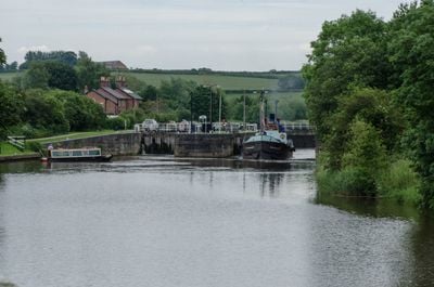
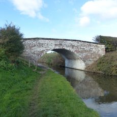
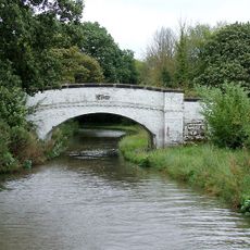
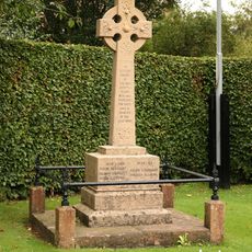
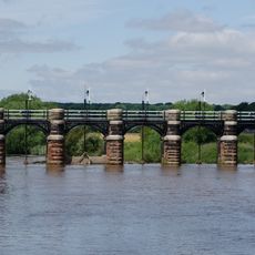
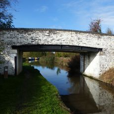
Dutton Locks, Lock and Grade II listed building in Acton Bridge, England.
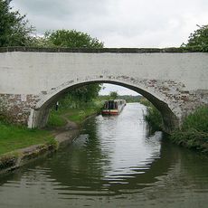
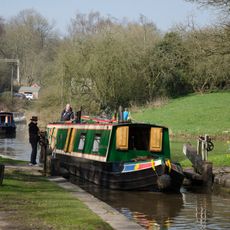
Dutton Locks is a system of two separate locks on the River Weaver that allows vessels to navigate a vertical water level difference of 2.4 meters. The installation was originally designed for navigation along the Weaver waterway and remains an important part of the region's historic water infrastructure.
The locks were built in 1874 by the Weaver Navigation Company and played a key role in cargo transportation and industrial shipping throughout the Cheshire region during the Victorian era. The site documents the development and use of the inland shipping system of that time.
The engineering structure represents the technological advancement of Britain's inland waterway system, with its Pelton turbine-operated gates and semaphore control mechanisms.
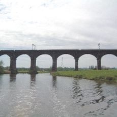
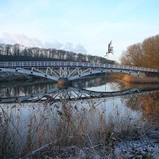
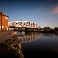
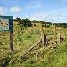
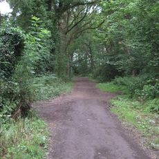
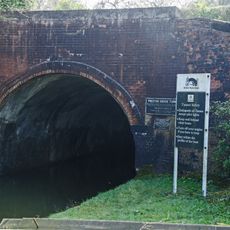
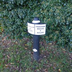
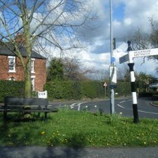
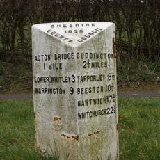
Access to the locks is available through the Weaver Way footpath, which connects with National Cycle Route 5 and offers multiple vantage points. The path is easily reached on foot or by bicycle and provides good opportunities to view the installation from different angles.
In 1984, the locks accommodated their largest vessel, the St. Michael, a 1,000-tonne ship from the Netherlands, demonstrating their substantial capacity.
Location: Dutton
Location: Acton Bridge
GPS coordinates: 53.28755,-2.62185
Latest update: December 14, 2025 14:26
Dutton Viaduct
692 m
Dutton Horse Bridge
277 m
Acton swing bridge
1.6 km
St Michael and All Angels Church, Little Leigh
3.1 km
Christ Church, Crowton
2.4 km
Dutton Park Farm Nature Reserve
898 m
Warburton's Wood Nature Reserve
3.2 km
Trent and Mersey Canal bridge number 211
689 m
Bradley Meadow Bridge (Canal Bridge Number 206)
2.8 km
Crowton War Memorial
2.5 km
Trent and Mersey Canal bridge number 210
1.5 km
The Thatched Cottage
3 km
Preston Brook Tunnel Entrance
3.4 km
Trent and Mersey Canal Milepost at NGR 602 765
1.5 km
Dutton Stop Lock
2.1 km
The Holly Bush Public House
1.9 km
Bartington Hall Farmhouse
1.4 km
Dutton Sluice 150 metres north east of Dutton Lock
209 m
Trent And Mersey Canal canal milepost south of north entrance to Preston Brook Tunnel at SJ 5705 7987
3.4 km
Trent and Mersey Canal, canal milepost south east of bridge number 206 at SJ61017538
2.8 km
Preston Brook Tunnel air shaft north west of Talbot Arms public house
3 km
Trent and Mersey Canal Willowgreen Bridge (Canal Bridge Number 208)
1.9 km
Guidepost at the junction of Cliff Road, Hill Top Road and Acton Lane
1.9 km
Northern air shaft to Preston Brook Tunnel
3.3 km
Milepost, N of Merebank
2.9 km
Milepost, Runcorn Road, Smithey Lane jct
2.5 km
Milepost, The Woodlands
3 km
Milepost, Dutton School
1.5 kmVisited this place? Tap the stars to rate it and share your experience / photos with the community! Try now! You can cancel it anytime.
Discover hidden gems everywhere you go!
From secret cafés to breathtaking viewpoints, skip the crowded tourist spots and find places that match your style. Our app makes it easy with voice search, smart filtering, route optimization, and insider tips from travelers worldwide. Download now for the complete mobile experience.
A unique approach to discovering new places❞
— Le Figaro
All the places worth exploring❞
— France Info
A tailor-made excursion in just a few clicks❞
— 20 Minutes