
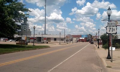
Waldron, city in Arkansas, USA
Location: Scott County
Elevation above the sea: 201 m
GPS coordinates: 34.89917,-94.09139
Latest update: March 2, 2025 23:52
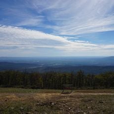
Queen Wilhelmina State Park
34.9 km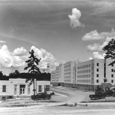
Arkansas Tuberculosis Sanatorium Historic District
27.2 km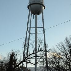
Hartford Water Tower
29.6 km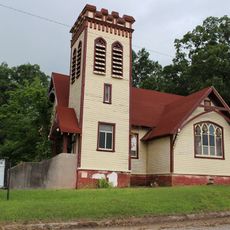
First Presbyterian Church
21.7 km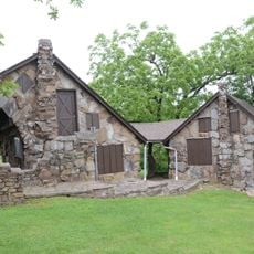
C.E. Foster House
35.1 km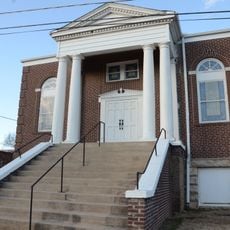
Jones Memorial Methodist Church
29.5 km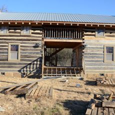
Dr. Stephen N. Chism House
38 km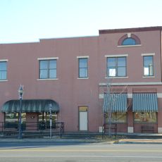
Farmers and Merchants Bank-Masonic Lodge
31 km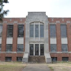
Scott County Courthouse
82 m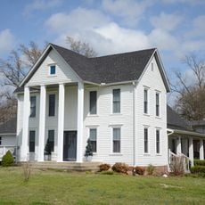
C.E. Forrester House
687 m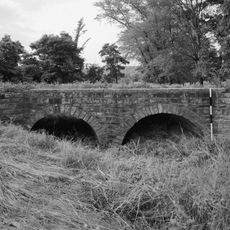
Milltown Bridge
29.8 km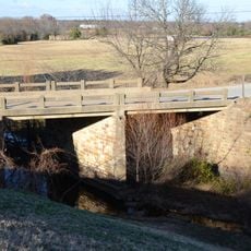
Coop Creek Bridge
22 km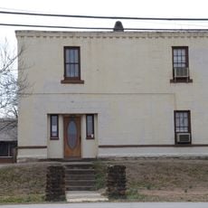
Old Scott County Jail
30 m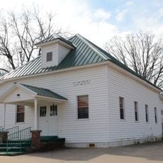
Mount Pleasant Methodist Church
6.7 km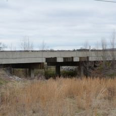
State Highway 96 Bridge
37.5 km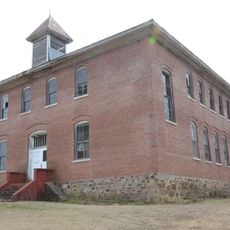
Bates School
26.5 km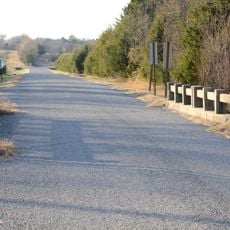
Sebastian County Road 4G Bridge
31.5 km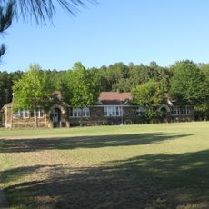
Parks School
16.1 km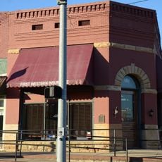
Bank of Booneville Building
31 km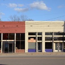
Hartford Commercial Historic District
29.9 km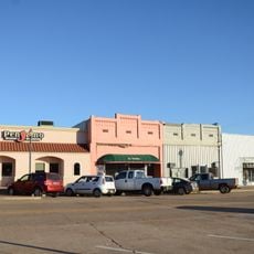
Booneville Commercial Historic District
30.9 km
Poteau Work Center
2.2 km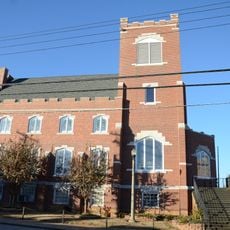
Booneville Methodist Episcopal Church South
31.3 km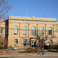
Logan County Courthouse, Southern Judicial District
31.1 km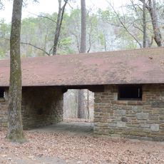
Jack Creek Bathhouse
27 km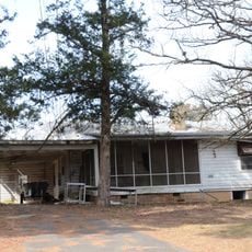
Poteau Work Center Residence No. 2
2.1 km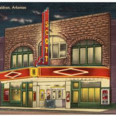
Scott Theatre
21 m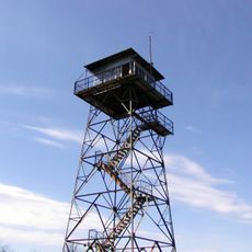
Rich Mountain Lookout Tower
33.2 kmVisited this place? Tap the stars to rate it and share your experience / photos with the community! Try now! You can cancel it anytime.
Discover hidden gems everywhere you go!
From secret cafés to breathtaking viewpoints, skip the crowded tourist spots and find places that match your style. Our app makes it easy with voice search, smart filtering, route optimization, and insider tips from travelers worldwide. Download now for the complete mobile experience.

A unique approach to discovering new places❞
— Le Figaro
All the places worth exploring❞
— France Info
A tailor-made excursion in just a few clicks❞
— 20 Minutes