Chest opened
+${chestReward.xp} XP
Explorer
NOUVEAU ×${chestReward.collectible.quantity}
tapez pour fermer
Chest locked

Open chests in the app

Around Us is built for your phone — chests unlock when you walk, explore and capture nearby places.

Enable Location

We need your location to show you interesting places around you

Discover nearby places

Find interesting locations and hidden gems around you

Precise directions

Get accurate directions and distances to places

Your location is never shared with other users. It's only used when you tap the location button.

Cedarville

Log in to your account

Start exploring — it's free

Trusted by 72,887 travelers worldwide

Continue with Google
Continue with Apple
or

We will send you a code to connect

By continuing, you accept our Terms and Conditions and our Privacy Policy

Check your inbox

We've sent a pincode in your inbox. Please enter the code below.

Discussion Reviews 1 Photos
3.5k Popularity

Cedarville, City in Crawford County, Arkansas, United States

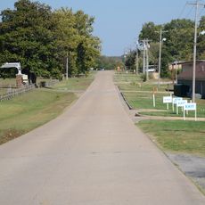
Cedarville is a small city in Crawford County, in the northwest corner of Arkansas, close to the Oklahoma border. It sits in a valley shaped by Lee's Creek, at the foot of the Boston Mountains, with farmland and wooded hills on all sides.

The first settler arrived in 1840, a post office opened in 1872, and the town was officially incorporated in 1881. Local government collapsed in the 1890s and was only restored in 1998, when residents voted to reincorporate to protect the town from being absorbed by nearby growth.

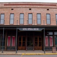
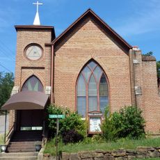
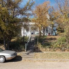
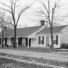
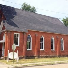
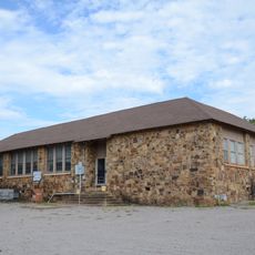
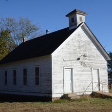
Cedarville takes its name from the cedar trees that grow along Lee's Creek valley. Walking through town today, you pass a city hall, a park, several churches, and a Masonic lodge that still serve as meeting points for residents.

Cedarville sits between Van Buren and Lincoln, both a short drive away, making it easy to reach by car along the main roads. Most shops and services are along the main street, so getting around on foot is straightforward once you are there.

A rock formation near town, roughly 450 feet (about 140 meters) long, has sometimes been compared to the walls of an old fort, sparking local debate for generations. Experts generally agree it is natural, which also put to rest the old story that the Spanish explorer Hernando de Soto ever passed through this area.

The community of curious travelers

AroundUs brings together thousands of curated places, local tips, and hidden gems, enriched daily by 60,000 contributors worldwide.

Start exploring
Location
Inception
July 19, 1881
Elevation above the sea
239 m
Address
Cedarville, AR, USA
GPS coordinates
35.56981,-94.36688
Latest update
May 9, 2026 16:49
Around this place
King Opera House
United States of America

King Opera House

15 km
Van Buren Post Office
United States of America

Van Buren Post Office

15 km
Mount Olive United Methodist Church
United States of America

Mount Olive United Methodist Church

14.8 km
Bryan House
United States of America

Bryan House

14.7 km
Bob Burns House
United States of America

Bob Burns House

15 km
Drennen-Scott House
United States of America

Drennen-Scott House

14.9 km
Lee Creek Bridge
United States of America

Lee Creek Bridge

8.8 km
Frog Bayou Bridge
United States of America

Frog Bayou Bridge

17.4 km
Lee Creek Bridge
United States of America

Lee Creek Bridge

11.7 km
Van Buren Presbyterian Church
United States of America

Van Buren Presbyterian Church

14.9 km
Henry Clay Mills House
United States of America

Henry Clay Mills House

14.4 km
Wilhauf House
United States of America

Wilhauf House

15.1 km
Cedarville School Building
United States of America

Cedarville School Building

270 m
Butterfield Overland Mail Route Lucian Wood Road Segment
United States of America

Butterfield Overland Mail Route Lucian Wood Road Segment

273 m
Slack-Comstock-Marshall Farm
United States of America

Slack-Comstock-Marshall Farm

8 km
No. 12 School
United States of America

No. 12 School

18.1 km
Alma Water Park
United States of America

Alma Water Park

15.5 km
Butterfield Overland Mail Route Lee Creek Road Segment
United States of America

Butterfield Overland Mail Route Lee Creek Road Segment

11.5 km
Clarke-Harrell-Burson House
United States of America

Clarke-Harrell-Burson House

13.6 km
Henry "Harry" Charles Pernot House
United States of America

Henry "Harry" Charles Pernot House

14.6 km
Drennen Scott House
United States of America

Drennen Scott House

14.9 km
Old U.S. 64-Van Buren Segment
United States of America

Old U.S. 64-Van Buren Segment

14.5 km
United States of America

Star Bluff

14.8 km
United States of America

King Opera House

15 km
United States of America

Center For Art & Education

14.8 km
United States of America

Arkansas Welcome Center

12.7 km
United States of America

Natural Dam Waterfall

9.4 km
United States of America

McWater Falls

15.6 km
Show the full map
Reviews
Share your experience

No review yet

Discussions
Start a discussion...

No discussion yet

« Cedarville - City in Crawford County, Arkansas, United States » is provided by Around Us (aroundus.com). Images and texts are derived from Wikimedia project under a Creative Commons license. You are allowed to copy, distribute, and modify copies of this page, under the conditions set by the license, as long as this note is clearly visible.

Discover hidden gems everywhere you go!

From secret cafés to breathtaking viewpoints, skip the crowded tourist spots and find places that match your style. Our app makes it easy with voice search, smart filtering, route optimization, and insider tips from travelers worldwide. Download now for the complete mobile experience.

Around Us App Screenshot

A unique approach to discovering new places

Le Figaro

All the places worth exploring

France Info

A tailor-made excursion in just a few clicks

20 Minutes

Around Us
Travel Guide & Maps
Download

Send to your phone

QR Code
1

Open the camera app on your mobile.

2

Point at the QR code with your camera. A notification will appear.

3

Tap the notification to open the link.