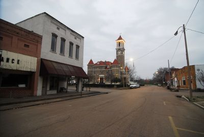
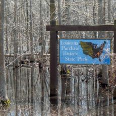
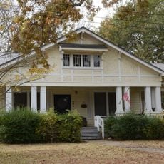
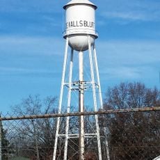
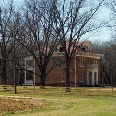
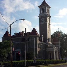
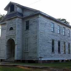
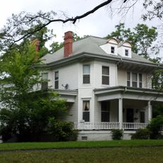
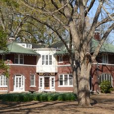
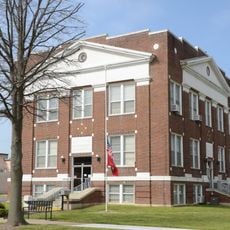
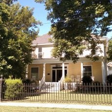
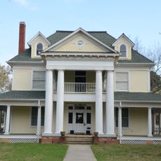
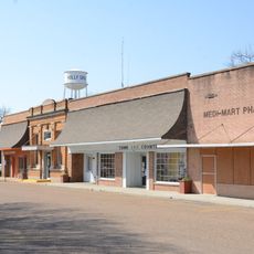
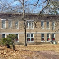
Clarendon, city in Arkansas, USA
Location: Monroe County
Inception: 1859
Elevation above the sea: 53 m
GPS coordinates: 34.69417,-91.30833
Latest update: April 14, 2025 21:10
Louisiana Purchase Historic State Park
23.9 km
Bethel House
35.6 km
De Valls Bluff Waterworks
17.3 km
St. Elizabeth's Catholic Church
17 km
Highway 79 Bridge
947 m
Standard Ice Company Building
31.3 km
Little Cypress Creek Bridge
30.2 km
Palmer House
22.5 km
Monroe County Courthouse
565 m
Crocketts Bluff Hunting Lodge
28.6 km
Bank of Clarendon
973 m
Cumberland Presbyterian Church
368 m
Lo Beele House
24.1 km
Abramson House
15.3 km
Arkansas County Courthouse-Northern District
31.1 km
Bateman-Griffith House
906 m
Immanuel High School
32.6 km
Moore-Jacobs House
628 m
William Black Family House
23.6 km
Lair House
15.1 km
Cotton Plant Water Tower
35 km
Jefferies-Crabtree House
888 m
Marston House
388 m
Bedford Brown Bethell House
35.6 km
Orth C. Galloway House
819 m
Holly Grove Historic District
14.7 km
Prairie County Courthouse
17.2 km
James A. Walls House
15.2 kmReviews
Visited this place? Tap the stars to rate it and share your experience / photos with the community! Try now! You can cancel it anytime.
Discover hidden gems everywhere you go!
From secret cafés to breathtaking viewpoints, skip the crowded tourist spots and find places that match your style. Our app makes it easy with voice search, smart filtering, route optimization, and insider tips from travelers worldwide. Download now for the complete mobile experience.
A unique approach to discovering new places❞
— Le Figaro
All the places worth exploring❞
— France Info
A tailor-made excursion in just a few clicks❞
— 20 Minutes