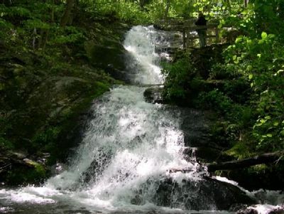
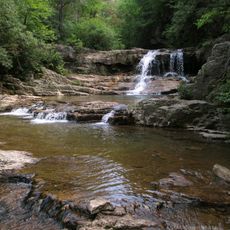
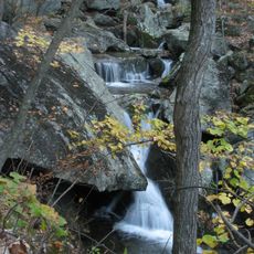
Crabtree Falls, Cascading waterfall in Nelson County, Virginia
Crabtree Falls is a series of waterfalls in George Washington National Forest in Nelson County, Virginia, where water drops over rugged rock ledges and flows down a steep wooded slope. The cascades stretch across a considerable vertical distance, forming several distinct sections separated by rock shelves and pools between the drops.
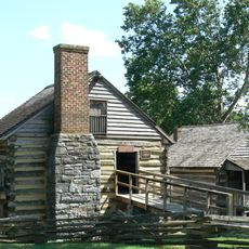
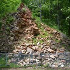
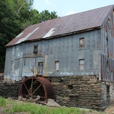
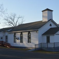
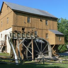
During the 19th century, a grain mill used the waterpower of the creek near what is now the trailhead. A small cemetery from that period remains as a reminder of the families who lived here before the area became part of the national forest system.
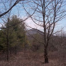
The waterfall takes its name from Crabtree Creek, which winds through dense forest before tumbling over smooth rock formations in a long descent. Visitors follow a trail that passes several viewing platforms where the sound of rushing water fills the woods and hikers often pause to watch the current at work.
The trail includes steep sections with steps and handrails that require sure footing, especially during wet conditions. Sunny spring days or early fall usually offer comfortable weather and avoid the summer heat or winter icing.
The lowest waterfall is visible from the road without hiking up the trail, a detail many visitors overlook. The upper cascades remain hidden from those who do not complete the full climb.
The community of curious travelers
AroundUs brings together thousands of curated places, local tips, and hidden gems, enriched daily by 60,000 contributors worldwide.