Enable Location

We need your location to show you interesting places around you

Discover nearby places

Find interesting locations and hidden gems around you

Precise directions

Get accurate directions and distances to places

Your location is never shared with other users. It's only used when you tap the location button.

Mecosta County

Log in to your account

Start exploring — it's free

Trusted by 62,378 travelers worldwide

Continue with Google
Continue with Apple
or

We will send you a code to connect

By continuing, you accept our Terms and Conditions and our Privacy Policy

Check your inbox

We've sent a pincode in your inbox. Please enter the code below.

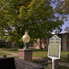
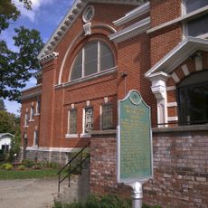
Mecosta County, Administrative county in central Michigan, United States.

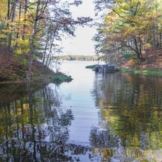
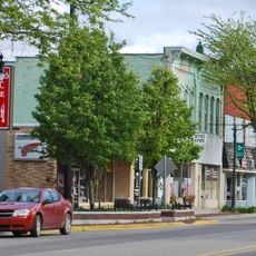
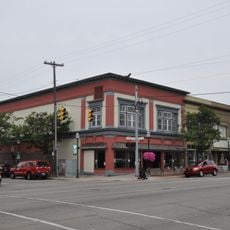
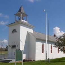
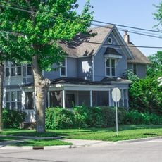
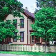
Mecosta County is a county in central Michigan that includes the city of Big Rapids, forests, lakes, and farmland. The area spans diverse natural features and populated centers throughout the region.

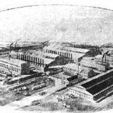
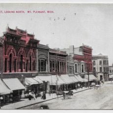
The county was established in 1840 by the Michigan Legislature, marking the start of organized settlement in the central region. This founding opened the area for development and economic activity.

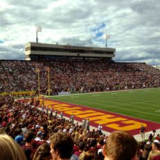
The region is closely tied to Ferris State University, which shapes academic life and community in Big Rapids. This college draws students from across the region and influences local culture in meaningful ways.

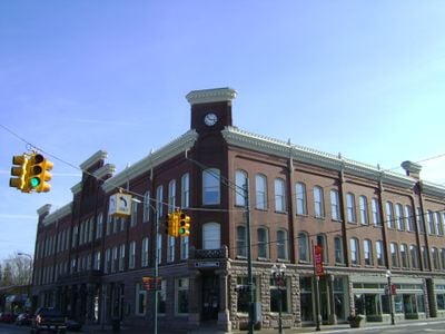
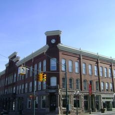
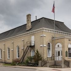
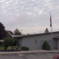
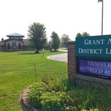
Access to county services is available through offices in Big Rapids, where departments handle administrative matters. Visitors can find information and resources for any municipal or legal questions.

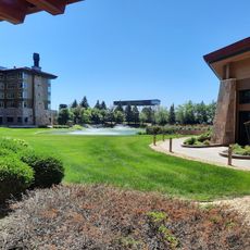
The area is home to Canadian Lakes, a recreational community with several private golf courses and many inland waterways. This development attracts golfers and water sports enthusiasts from the surrounding region.

The community of curious travelers

AroundUs brings together thousands of curated places, local tips, and hidden gems, enriched daily by 60,000 contributors worldwide.

Start exploring
Location
Inception
1840
Capital city
Big Rapids
Shares border with
Osceola County, Montcalm County, Isabella County, Newaygo County, Lake County, Clare County
GPS coordinates
43.64000,-85.32000
Latest update
December 7, 2025 19:32
Around this place
Soaring Eagle Waterpark
United States of America

Soaring Eagle Waterpark

47.3 km
White Pine Trail State Park
United States of America

White Pine Trail State Park

15.9 km
Marlborough Historic District
United States of America

Marlborough Historic District

48.4 km
Newaygo State Park
United States of America

Newaygo State Park

26.7 km
Mount Pleasant Downtown Historic District
United States of America

Mount Pleasant Downtown Historic District

44 km
Michigan Condensed Milk Factory
United States of America

Michigan Condensed Milk Factory

43.6 km
George and Martha Hitchcock House
United States of America

George and Martha Hitchcock House

42.6 km
Greenville Downtown Historic District
United States of America

Greenville Downtown Historic District

51.5 km
Grant Depot and Water Tower
United States of America

Grant Depot and Water Tower

52.3 km
Lincoln Road–Pine River Bridge
United States of America

Lincoln Road–Pine River Bridge

48.9 km
Nisbett Building
United States of America

Nisbett Building

14.5 km
Clare Downtown Historic District
United States of America

Clare Downtown Historic District

48.7 km
Sherman City Union Church
United States of America

Sherman City Union Church

21.9 km
Elk Rapids Township Hall
United States of America

Elk Rapids Township Hall

42 km
Doughty House
United States of America

Doughty House

44.1 km
The Sweeney House
United States of America

The Sweeney House

43.9 km
Giles Gilbert House
United States of America

Giles Gilbert House

43.1 km
Boys' Club Building
United States of America

Boys' Club Building

47.6 km
Jim Crow Museum of Racist Memorabilia
United States of America

Jim Crow Museum of Racist Memorabilia

14.1 km
Kelly/Shorts Stadium
United States of America

Kelly/Shorts Stadium

44.8 km
Big Rapids Community Library
United States of America

Big Rapids Community Library

14.4 km
AMC Classic Big Rapids 4
United States of America

AMC Classic Big Rapids 4

14.5 km
White Cloud Community Library
United States of America

White Cloud Community Library

38.1 km
Hardy Hydroelectric Plant‎ historical marker
United States of America

Hardy Hydroelectric Plant‎ historical marker

30.2 km
Old Mecosta County Jail Historical Marker
United States of America

Old Mecosta County Jail Historical Marker

14.3 km
Grant Area District Library
United States of America

Grant Area District Library

51.8 km
Croton Township Library
United States of America

Croton Township Library

35.5 km
First United Methodist Church Historical Marker
United States of America

First United Methodist Church Historical Marker

14.4 km
Show the full map
Administrative divisions
« Mecosta County - Administrative county in central Michigan, United States » is provided by Around Us (aroundus.com). Images and texts are derived from Wikimedia project under a Creative Commons license. You are allowed to copy, distribute, and modify copies of this page, under the conditions set by the license, as long as this note is clearly visible.

Discover hidden gems everywhere you go!

From secret cafés to breathtaking viewpoints, skip the crowded tourist spots and find places that match your style. Our app makes it easy with voice search, smart filtering, route optimization, and insider tips from travelers worldwide. Download now for the complete mobile experience.

Around Us App Screenshot

A unique approach to discovering new places

Le Figaro

All the places worth exploring

France Info

A tailor-made excursion in just a few clicks

20 Minutes

Around Us
Travel Guide & Maps
Download

Send to your phone

QR Code
1

Open the camera app on your mobile.

2

Point at the QR code with your camera. A notification will appear.

3

Tap the notification to open the link.