Enable Location

We need your location to show you interesting places around you

Discover nearby places

Find interesting locations and hidden gems around you

Precise directions

Get accurate directions and distances to places

Your location is never shared with other users. It's only used when you tap the location button.

Russell County

Log in to your account

Start exploring — it's free

Trusted by 61,890 travelers worldwide

Continue with Google
Continue with Apple
or

We will send you a code to connect

By continuing, you accept our Terms and Conditions and our Privacy Policy

Check your inbox

We've sent a pincode in your inbox. Please enter the code below.

Russell County, Administrative county in Kentucky, United States

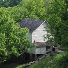
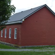
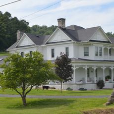
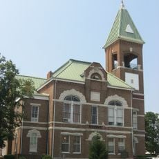
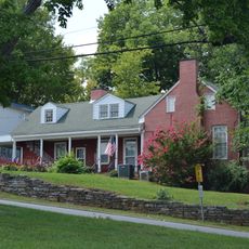
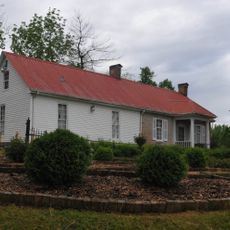
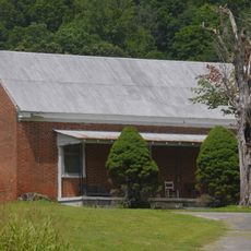
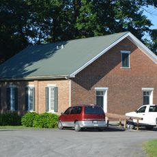
Russell County is an administrative division in Kentucky encompassing residential areas and agricultural lands with Jamestown as its county seat. The territory includes several communities and rural zones that together form the local government unit.

The county was established by the Kentucky General Assembly on December 14, 1825, with Jamestown designated as its administrative center from the start. This creation was part of Kentucky's expansion of local governance divisions during the 1800s.

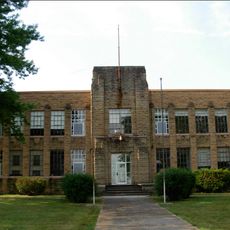
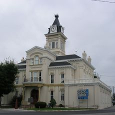
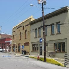
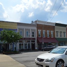
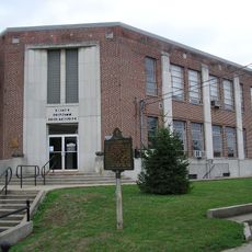
Jamestown functions as the administrative hub where public buildings and local institutions gather residents for community activities. The town reflects how people in the region organize their civic life around this central location.

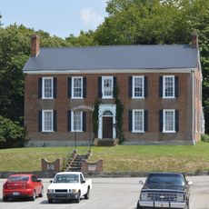
Key administrative services including marriage licenses and vehicle registration operate from the Russell County Courthouse in Jamestown during regular business hours. Weekday visits are typically best for handling official matters at the courthouse.

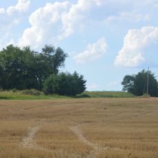
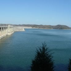
The county sits at a geographic crossroads where the mountainous terrain of eastern Kentucky transitions toward the gentler landscapes of central Kentucky. This position shapes how settlements and land use vary across the area.

The community of curious travelers

AroundUs brings together thousands of curated places, local tips, and hidden gems, enriched daily by 60,000 contributors worldwide.

Start exploring
Location
Inception
December 14, 1825
Capital city
Jamestown
Shares border with
Adair County, Cumberland County, Clinton County, Wayne County, Pulaski County, Casey County
GPS coordinates
36.99000,-85.06000
Latest update
December 7, 2025 20:25
Around this place
Lake Cumberland State Resort Park
United States of America

Lake Cumberland State Resort Park

8.8 km
Creelsboro Natural Bridge
United States of America

Creelsboro Natural Bridge

19.6 km
Mill Springs National Cemetery
United States of America

Mill Springs National Cemetery

30 km
Mill Springs Mill
United States of America

Mill Springs Mill

25.8 km
Confederate Mass Grave Monument in Somerset
United States of America

Confederate Mass Grave Monument in Somerset

29.4 km
Battle of Tebb's Bend Monument
United States of America

Battle of Tebb's Bend Monument

36.9 km
General Felix K. Zollicoffer Monument
United States of America

General Felix K. Zollicoffer Monument

29.4 km
Old Wayne County High School
United States of America

Old Wayne County High School

25.5 km
Mt. Gilead Baptist Church
United States of America

Mt. Gilead Baptist Church

35 km
Judge Killis Huddleston House
United States of America

Judge Killis Huddleston House

28.8 km
Adair County Courthouse
United States of America

Adair County Courthouse

25.2 km
Casey County Courthouse
United States of America

Casey County Courthouse

38 km
Dr. Nathan Gaither House
United States of America

Dr. Nathan Gaither House

25.4 km
Liberty Downtown Historic District
United States of America

Liberty Downtown Historic District

38 km
Fairchild House
United States of America

Fairchild House

26 km
Daniel Trabue House
United States of America

Daniel Trabue House

24.9 km
James Baker House
United States of America

James Baker House

31.7 km
Russell Lodge No. 284
United States of America

Russell Lodge No. 284

714 m
Anderson House
United States of America

Anderson House

36.8 km
Columbia Commercial Historic District
United States of America

Columbia Commercial Historic District

25.2 km
John Field House
United States of America

John Field House

25.1 km
Coe House
United States of America

Coe House

34.7 km
Zion Meetinghouse and School
United States of America

Zion Meetinghouse and School

19.2 km
Monticello Historic Commercial District
United States of America

Monticello Historic Commercial District

25.9 km
United States of America

Keltner House

36.3 km
Mill Springs Battlefield Visitor Center and Museum
United States of America

Mill Springs Battlefield Visitor Center and Museum

30.1 km
Star Theater
United States of America

Star Theater

8 km
Lake Cumberland
United States of America

Lake Cumberland

11.3 km
Show the full map
« Russell County - Administrative county in Kentucky, United States » is provided by Around Us (aroundus.com). Images and texts are derived from Wikimedia project under a Creative Commons license. You are allowed to copy, distribute, and modify copies of this page, under the conditions set by the license, as long as this note is clearly visible.

Discover hidden gems everywhere you go!

From secret cafés to breathtaking viewpoints, skip the crowded tourist spots and find places that match your style. Our app makes it easy with voice search, smart filtering, route optimization, and insider tips from travelers worldwide. Download now for the complete mobile experience.

Around Us App Screenshot

A unique approach to discovering new places

Le Figaro

All the places worth exploring

France Info

A tailor-made excursion in just a few clicks

20 Minutes

Around Us
Travel Guide & Maps
Download

Send to your phone

QR Code
1

Open the camera app on your mobile.

2

Point at the QR code with your camera. A notification will appear.

3

Tap the notification to open the link.