Enable Location

We need your location to show you interesting places around you

Discover nearby places

Find interesting locations and hidden gems around you

Precise directions

Get accurate directions and distances to places

Your location is never shared with other users. It's only used when you tap the location button.

Lyon County

Log in to your account

Start exploring — it's free

Trusted by 61,502 travelers worldwide

Continue with Google
Continue with Apple
or

We will send you a code to connect

By continuing, you accept our Terms and Conditions and our Privacy Policy

Check your inbox

We've sent a pincode in your inbox. Please enter the code below.

Lyon County, Administrative county in Kansas, United States.

Description

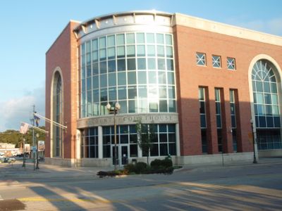
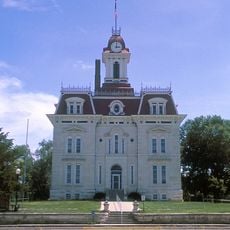
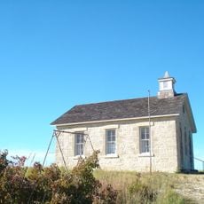
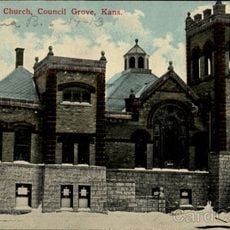
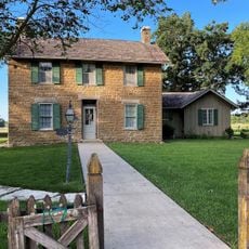
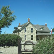
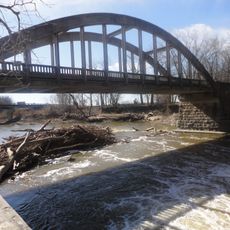
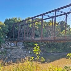
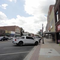
Lyon County is an administrative county in eastern Kansas that serves as home to Emporia, the seat of local government. The region encompasses rural communities spread across flat terrain typical of this part of the state.

History

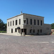
Established in 1862, the county was named in honor of General Nathaniel Lyon, a Union officer who died early in the Civil War. Its creation reflected the broader westward expansion happening across the United States at that time.

Culture

The Emporia State University and Flint Hills Technical College contribute to the educational landscape of Lyon County, shaping the next generation of professionals.

Practical

Visitors will find most services and facilities centered in Emporia as the county seat. The area is best explored by car, as communities are connected by regional highways.

Did you know?

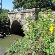
A historic railway line runs through the county, still connecting Emporia to other towns in the region. This connection shaped much of the area's growth during the late 1800s.

Location
Inception
February 5, 1862
Capital city
Emporia
Shares border with
Wabaunsee County, Greenwood County, Osage County, Coffey County, Morris County, Chase County
GPS coordinates
38.45000,-96.15000
Latest update
December 7, 2025 20:47

AroundUs brings together thousands of curated places, local tips, and hidden gems, enriched daily by 60,000 contributors worldwide. Discover all places nearby (Kansas).

Around this place
National Teachers Hall of Fame
United States of America

National Teachers Hall of Fame

4.5 km
Welch Stadium
United States of America

Welch Stadium

4.5 km
Emporia Granada Theatre
United States of America

Emporia Granada Theatre

5.4 km
Chase County Courthouse
United States of America

Chase County Courthouse

35.2 km
William Allen White House
United States of America

William Allen White House

5 km
Emporia State University Memorial Union
United States of America

Emporia State University Memorial Union

4.6 km
Trusler Sports Complex
United States of America

Trusler Sports Complex

3.8 km
Council Grove Historic District
United States of America

Council Grove Historic District

36.9 km
Lower Fox Creek School
United States of America

Lower Fox Creek School

35.5 km
First Baptist Church of Council Grove
United States of America

First Baptist Church of Council Grove

37.9 km
Neosho River Bridge
United States of America

Neosho River Bridge

23.6 km
Big John Farm Limestone Bank Barn
United States of America

Big John Farm Limestone Bank Barn

35.8 km
Arvonia School
United States of America

Arvonia School

24.7 km
Dunlap Colored Cemetery
United States of America

Dunlap Colored Cemetery

23.4 km
St. Andrew's Episcopal Church
United States of America

St. Andrew's Episcopal Church

5.3 km
Cottonwood River Bridge
United States of America

Cottonwood River Bridge

35.1 km
Walt Mason House
United States of America

Walt Mason House

5.4 km
Harris-Borman House
United States of America

Harris-Borman House

5 km
Richard Howe House
United States of America

Richard Howe House

6.9 km
Fox Creek Stone Arch Bridge
United States of America

Fox Creek Stone Arch Bridge

35.1 km
Wood House
United States of America

Wood House

33.4 km
Chase County National Bank
United States of America

Chase County National Bank

35.3 km
Seth Hays House
United States of America

Seth Hays House

37.5 km
Cottonwood Falls Grade School
United States of America

Cottonwood Falls Grade School

35.6 km
Harris Bridge
United States of America

Harris Bridge

19.6 km
Spring Hill Farm and Stock Ranch House
United States of America

Spring Hill Farm and Stock Ranch House

35.6 km
Soden's Grove Bridge
United States of America

Soden's Grove Bridge

7.7 km
Rocky Ford Bridge
United States of America

Rocky Ford Bridge

9.8 km
Show the full map
Administrative divisions
« Lyon County - Administrative county in Kansas, United States » is provided by Around Us (aroundus.com). Images and texts are derived from Wikimedia project under a Creative Commons license. You are allowed to copy, distribute, and modify copies of this page, under the conditions set by the license, as long as this note is clearly visible.

Discover hidden gems everywhere you go!

From secret cafés to breathtaking viewpoints, skip the crowded tourist spots and find places that match your style. Our app makes it easy with voice search, smart filtering, route optimization, and insider tips from travelers worldwide. Download now for the complete mobile experience.

Around Us App Screenshot

A unique approach to discovering new places

Le Figaro

All the places worth exploring

France Info

A tailor-made excursion in just a few clicks

20 Minutes

Around Us
Travel Guide & Maps
Download

Send to your phone

QR Code
1

Open the camera app on your mobile.

2

Point at the QR code with your camera. A notification will appear.

3

Tap the notification to open the link.