Enable Location

We need your location to show you interesting places around you

Discover nearby places

Find interesting locations and hidden gems around you

Precise directions

Get accurate directions and distances to places

Your location is never shared with other users. It's only used when you tap the location button.

Montgomery County

Log in to your account

Start exploring — it's free

Trusted by 61,502 travelers worldwide

Continue with Google
Continue with Apple
or

We will send you a code to connect

By continuing, you accept our Terms and Conditions and our Privacy Policy

Check your inbox

We've sent a pincode in your inbox. Please enter the code below.

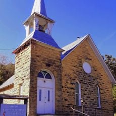
Montgomery County, Administrative county in southeastern Kansas, United States.

Description

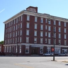
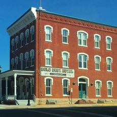
Montgomery County is an administrative county in southeastern Kansas that spans across portions of land in this region. Independence serves as its county seat, while Coffeyville functions as the largest urban center within its boundaries.

History

The county was established on February 26, 1867, and named after General Richard Montgomery, a military commander during the American Revolutionary War. Its creation followed the westward expansion and the establishment of administrative boundaries across Kansas.

Culture

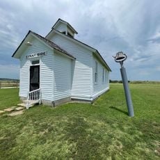
The county contains twelve distinct townships, reflecting the regional organization of communities that maintain their individual identities while operating under county administration.

Practical

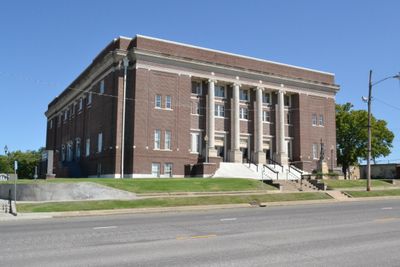
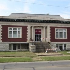
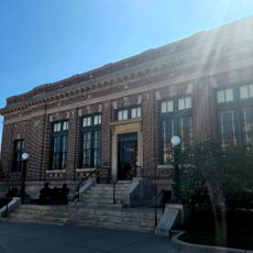
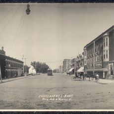
County offices are located in Independence on East Myrtle Street and handle services such as deed registration and tax matters. Visitors can access these offices during regular business hours for administrative needs.

Did you know?

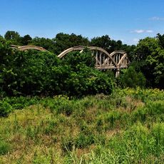
The territory contains Kansas's lowest elevation point, located where the Verdigris River crosses into Oklahoma. This geographic feature attracts those interested in natural landmarks and topography.

Location
Inception
February 26, 1867
Capital city
Independence
Reference
MG
Shares border with
Wilson County, Labette County, Washington County, Nowata County, Neosho County, Elk County, Chautauqua County
GPS coordinates
37.20000,-95.73330
Latest update
December 14, 2025 19:24

AroundUs brings together thousands of curated places, local tips, and hidden gems, enriched daily by 60,000 contributors worldwide. Discover all places nearby (Kansas).

Around this place
Big Hill Lake
United States of America

Big Hill Lake

26.2 km
Elk City State Park
United States of America

Elk City State Park

7 km
United States of America

Elk City Lake

8.8 km
Norman No. 1 Oil Well
United States of America

Norman No. 1 Oil Well

24.5 km
Independence Public Library
United States of America

Independence Public Library

3.6 km
Booth Theater
United States of America

Booth Theater

3.7 km
Onion Creek Bridge (Coffeyville, Kansas)
United States of America

Onion Creek Bridge (Coffeyville, Kansas)

20.6 km
Booth Hotel
United States of America

Booth Hotel

3.4 km
Gold Dust Hotel
United States of America

Gold Dust Hotel

38.1 km
United States of America

Cherryvale Carnegie Free Library

18 km
Brown Hotel
United States of America

Brown Hotel

24.7 km
Bethel African Methodist Episcopal Church
United States of America

Bethel African Methodist Episcopal Church

21.3 km
Niotaze Methodist Episcopal Church
United States of America

Niotaze Methodist Episcopal Church

28.9 km
Coffeyville Carnegie Public Library Building
United States of America

Coffeyville Carnegie Public Library Building

20.7 km
Little House On The Prairie Museum
United States of America

Little House On The Prairie Museum

12.4 km
United States of America

Dr. A. C. Flack House

38.1 km
United States of America

First State Bank Building

36.8 km
United States of America

Card Creek Public Use Area

12 km
Dewlen-Spohnhauer Bridge
United States of America

Dewlen-Spohnhauer Bridge

5.5 km
Independence Historical Museum & Art Center
United States of America

Independence Historical Museum & Art Center

3.5 km
United States of America

Montgomery County State Lake

5.4 km
Independence Downtown Historic District
United States of America

Independence Downtown Historic District

3.7 km
United States of America

Independence Golf Club

6.5 km
United States of America

Hillcrest Golf Course

17.3 km
United States of America

Coffeyville Country Club

16.7 km
United States of America

ATSF Cheryvale Depot

17.9 km
United States of America

Republic F-86 "Thunderstreak"

17.2 km
United States of America

Washington Cove

37.2 km
Show the full map
Administrative divisions
« Montgomery County - Administrative county in southeastern Kansas, United States » is provided by Around Us (aroundus.com). Images and texts are derived from Wikimedia project under a Creative Commons license. You are allowed to copy, distribute, and modify copies of this page, under the conditions set by the license, as long as this note is clearly visible.

Discover hidden gems everywhere you go!

From secret cafés to breathtaking viewpoints, skip the crowded tourist spots and find places that match your style. Our app makes it easy with voice search, smart filtering, route optimization, and insider tips from travelers worldwide. Download now for the complete mobile experience.

Around Us App Screenshot

A unique approach to discovering new places

Le Figaro

All the places worth exploring

France Info

A tailor-made excursion in just a few clicks

20 Minutes

Around Us
Travel Guide & Maps
Download

Send to your phone

QR Code
1

Open the camera app on your mobile.

2

Point at the QR code with your camera. A notification will appear.

3

Tap the notification to open the link.