Graham County, Administrative county in western North Carolina, United States
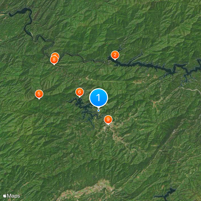
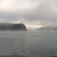
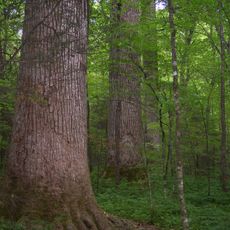
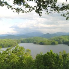
Graham County is an administrative county in the western mountains of North Carolina. Much of the land here is forested and hilly, with the Nantahala National Forest covering a significant portion.
The county was formed in 1872 from Cherokee County and named after William A. Graham, a Senator and Governor of North Carolina. The land was long home to Cherokee people before being organized as a county.
The Snowbird Cherokee community maintains its presence here with their own traditions and way of life. Visitors can encounter this heritage through the people and places they meet in the county.
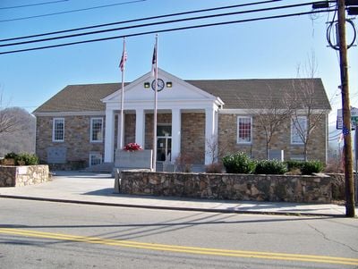
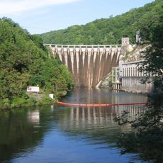
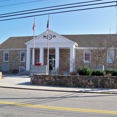
Robbinsville is the main town where county services and the courthouse are located. The terrain here is mountainous and outdoor recreation is common throughout the area.
This county was North Carolina's last dry county until 2021, when alcohol sales were finally permitted. For decades it remained an exception to the state's broader approach to beverages.
Location: North Carolina
Inception: 1872
Capital city: Robbinsville
Shares border with: Swain County, Cherokee County, Blount County, Macon County, Monroe County
Website: http://grahamcounty.org
GPS coordinates: 35.35000,-83.83000
Latest update: December 7, 2025 10:02
Nantahala National Forest
27.8 km
Fontana Lake
11.9 km
Cheoah Dam
14.6 km
Joyce Kilmer Memorial Forest
13.5 km
Abrams Falls Trail
26.8 km
Gregory Bald
19.3 km
Joyce Kilmer-Slickrock Wilderness
13.5 km
Calderwood Dam
20.9 km
Silers Bald
34 km
Citico Creek Wilderness
20.8 km
Santeetlah Dam
5.2 km
Shuckstack
15.2 km
Tapoco Lodge Historic District
14.2 km
Hall Cabin
23.3 km
Spikebuck Town Mound and Village Site
33.9 km
First Baptist Church
16.7 km
Franklin Pierce Cover House
16.5 km
Graham County Courthouse
3.7 km
Clay County Courthouse
33.9 km
Charles Noden George House
13.9 km
Cades Cove Missionary Baptist Church
28.7 km
Cades Cove Methodist Church
28.7 km
Cades Cove Primitive Baptist Church
28.1 km
Cades Cove Visitor Center
26.2 km
Carter Shields Cabin
26.8 km
Elijah Oliver Place
27.6 km
Derrick Knob Shelter
29.5 km
Lake Santeetlah
2.8 kmReviews
Visited this place? Tap the stars to rate it and share your experience / photos with the community! Try now! You can cancel it anytime.
Discover hidden gems everywhere you go!
From secret cafés to breathtaking viewpoints, skip the crowded tourist spots and find places that match your style. Our app makes it easy with voice search, smart filtering, route optimization, and insider tips from travelers worldwide. Download now for the complete mobile experience.
A unique approach to discovering new places❞
— Le Figaro
All the places worth exploring❞
— France Info
A tailor-made excursion in just a few clicks❞
— 20 Minutes