Enable Location

We need your location to show you interesting places around you

Discover nearby places

Find interesting locations and hidden gems around you

Precise directions

Get accurate directions and distances to places

Your location is never shared with other users. It's only used when you tap the location button.

Wayne County

Log in to your account

Start exploring — it's free

Trusted by 63,531 travelers worldwide

Continue with Google
Continue with Apple
or

We will send you a code to connect

By continuing, you accept our Terms and Conditions and our Privacy Policy

Check your inbox

We've sent a pincode in your inbox. Please enter the code below.

Discussion Reviews 1 Photos
27.9k Popularity

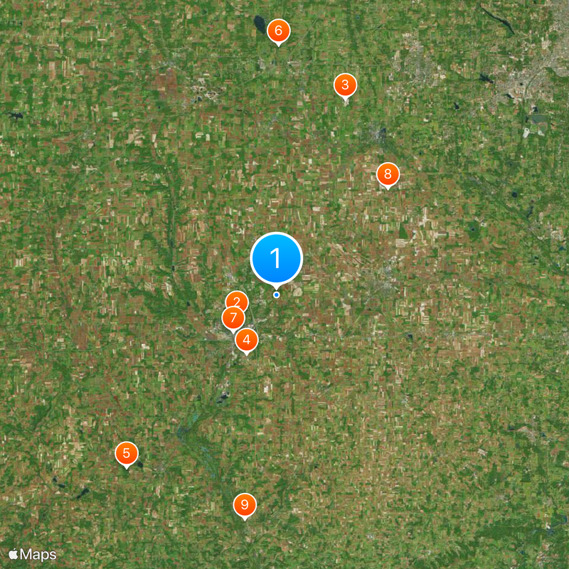
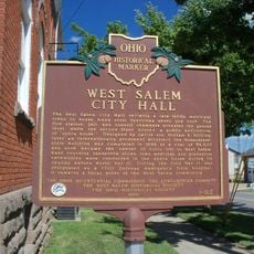
Wayne County, Administrative division in northeastern Ohio, United States.

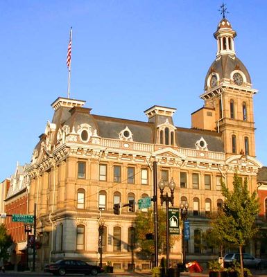
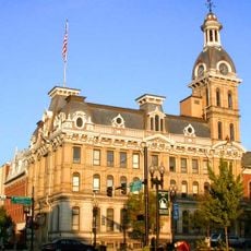
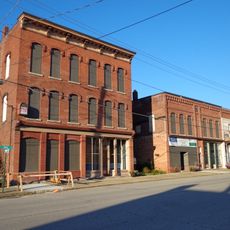
Wayne County spans northeastern Ohio with agricultural lands, residential areas, and the city of Wooster serving as its governmental center. County offices and public services cluster in downtown Wooster to manage the administrative functions of the jurisdiction.

The county was established in 1808 during Ohio's territorial organization period as settlers expanded into the region. Wooster became its administrative seat and has remained the focal point for local government operations since that time.

The Wayne County Fair brings together farmers, artisans, and residents each year to showcase agricultural exhibits, local crafts, and community traditions that reflect the area's farming heritage.

County administration offices in downtown Wooster handle permits, licenses, and documentation through designated service windows during regular business hours. It helps to contact ahead about specific services, as different departments may have varying availability.

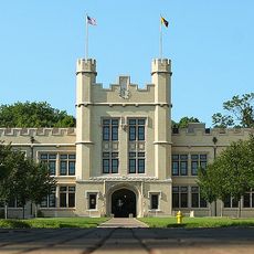
The College of Wooster, a private liberal arts institution within the county, operates research facilities and academic programs that many visitors overlook when exploring the region. This college significantly influences the educational and intellectual life of the area.

The community of curious travelers

AroundUs brings together thousands of curated places, local tips, and hidden gems, enriched daily by 60,000 contributors worldwide.

Start exploring
Location
Inception
February 13, 1808
Capital city
Wooster
Reference
WAY
Shares border with
Ashland County, Medina County, Summit County, Stark County, Holmes County
GPS coordinates
40.83000,-81.89000
Latest update
December 20, 2025 13:12
Around this place
College of Wooster
United States of America

College of Wooster

4.3 km
United States of America

Ohio Western Reserve National Cemetery

20 km
United States of America

Secrest Arboretum

6.4 km
Brown's Lake Bog
United States of America

Brown's Lake Bog

22.1 km
Northern Ohio Railway Museum
United States of America

Northern Ohio Railway Museum

24.1 km
Wayne County Courthouse District
United States of America

Wayne County Courthouse District

5.5 km
Ezekiel B. Zimmerman Octagon House
United States of America

Ezekiel B. Zimmerman Octagon House

14.9 km
Croco House
United States of America

Croco House

21.8 km
James Akey Farm
United States of America

James Akey Farm

26.1 km
Joseph Armstrong Farm
United States of America

Joseph Armstrong Farm

18.5 km
Limbach Block Historic District
United States of America

Limbach Block Historic District

24.4 km
United States of America

Chippewa Watershed Conservation District Structure Reservoir

10 km
United States of America

Wooster Public Square Historic District

5.5 km
West Salem City Hall
United States of America

West Salem City Hall

24.3 km
United States of America

L.C. Boles Golf Course Holes 3-8

3.5 km
United States of America

L.C. Boles Golf Course Holes 1-2,9

3.7 km
United States of America

Chippewa Golf Club

23.8 km
United States of America

Wooster Country Club

5.3 km
United States of America

Westfield Country Club

22.2 km
United States of America

Wooster Country Club

5.9 km
United States of America

Hawk's Nest Golf Course

10 km
United States of America

Mohican Hills Golf Club

21.4 km
United States of America

The Pines Golf Club

6.2 km

Freelander Theater

4.6 km
United States of America

Chapel in the Woods

21.1 km
United States of America

Funk

15 km
United States of America

Scenic viewpoint

5.8 km
United States of America

Waterfall

4.8 km
Show the full map
Reviews
Share your experience

No review yet

Discussions
Start a discussion...

No discussion yet

« Wayne County - Administrative division in northeastern Ohio, United States » is provided by Around Us (aroundus.com). Images and texts are derived from Wikimedia project under a Creative Commons license. You are allowed to copy, distribute, and modify copies of this page, under the conditions set by the license, as long as this note is clearly visible.

Discover hidden gems everywhere you go!

From secret cafés to breathtaking viewpoints, skip the crowded tourist spots and find places that match your style. Our app makes it easy with voice search, smart filtering, route optimization, and insider tips from travelers worldwide. Download now for the complete mobile experience.

Around Us App Screenshot

A unique approach to discovering new places

Le Figaro

All the places worth exploring

France Info

A tailor-made excursion in just a few clicks

20 Minutes

Around Us
Travel Guide & Maps
Download

Send to your phone

QR Code
1

Open the camera app on your mobile.

2

Point at the QR code with your camera. A notification will appear.

3

Tap the notification to open the link.