Enable Location

We need your location to show you interesting places around you

Discover nearby places

Find interesting locations and hidden gems around you

Precise directions

Get accurate directions and distances to places

Your location is never shared with other users. It's only used when you tap the location button.

Webster County

Log in to your account

Start exploring — it's free

Trusted by 61,524 travelers worldwide

Continue with Google
Continue with Apple
or

We will send you a code to connect

By continuing, you accept our Terms and Conditions and our Privacy Policy

Check your inbox

We've sent a pincode in your inbox. Please enter the code below.

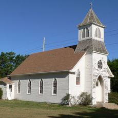
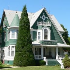
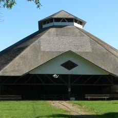
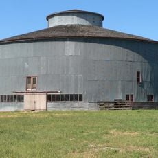
Webster County, County in Nebraska, United States

Description

Webster County is a county in southern Nebraska that covers rolling, hilly terrain with extensive agricultural fields throughout its area. The landscape is marked by large irrigation systems that supply water to the farmland.

History

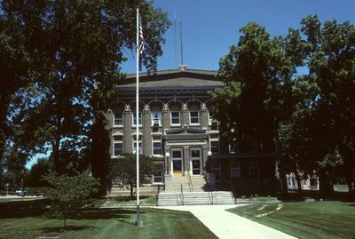
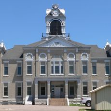
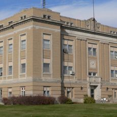
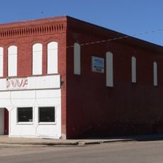
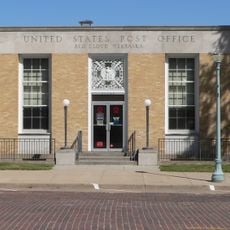
The county was established in 1871 and named after statesman Daniel Webster, a significant political figure from earlier American history. Red Cloud became its administrative center, serving as the county seat.

Culture

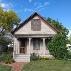
Farming shapes how communities are organized and how people spend their days throughout the county. You notice this in local events and gatherings that revolve around the agricultural calendar and land-based work.

Practical

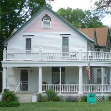
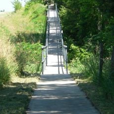
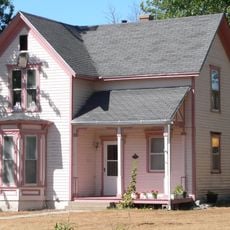
The area is sparsely populated and best explored by car, since distances between towns are considerable. Visitors should plan to spend time in smaller communities to get a sense of daily life here.

Did you know?

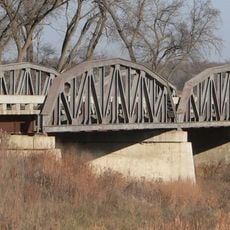
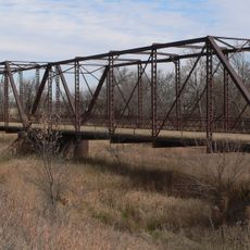
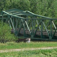
The Republican River runs through the southern part of the territory and creates natural features that have influenced how farming is done for generations. This waterway shapes not only the geography but also how people manage and use their land in practice.

Location
Inception
1871
Capital city
Red Cloud
Shares border with
Adams County, Jewell County, Clay County, Nuckolls County, Smith County, Franklin County, Kearney County
GPS coordinates
40.18000,-98.50000
Latest update
December 10, 2025 16:03

AroundUs brings together thousands of curated places, local tips, and hidden gems, enriched daily by 60,000 contributors worldwide. Discover all places nearby (Nebraska).

Around this place
Geographic center of the contiguous United States
United States of America

Geographic center of the contiguous United States

39.7 km
Willa Cather House
United States of America

Willa Cather House

10.4 km
William Ducker House
United States of America

William Ducker House

9.9 km
Saint Martin's Catholic Church
United States of America

Saint Martin's Catholic Church

33.1 km
Wallace Warren and Lillian Genevieve Bradshaw Kendall House
United States of America

Wallace Warren and Lillian Genevieve Bradshaw Kendall House

40.8 km
Chautauqua Pavilion
United States of America

Chautauqua Pavilion

45.9 km
Starke Round Barn
United States of America

Starke Round Barn

11.8 km
Franklin Bridge
United States of America

Franklin Bridge

40.2 km
Burr Oak United Methodist Church
United States of America

Burr Oak United Methodist Church

38.5 km
IOOF Hall and Opera House
United States of America

IOOF Hall and Opera House

17.8 km
Glenville School
United States of America

Glenville School

41.4 km
Nuckolls County Courthouse
United States of America

Nuckolls County Courthouse

36.9 km
Franklin County Courthouse
United States of America

Franklin County Courthouse

39.7 km
Farmer's and Merchant's Bank Building
United States of America

Farmer's and Merchant's Bank Building

10.3 km
Auld Public Library
United States of America

Auld Public Library

10.1 km
Lawrence Opera House
United States of America

Lawrence Opera House

23.9 km
Matthew R. Bentley House
United States of America

Matthew R. Bentley House

9.7 km
Red Cloud United States Post Office
United States of America

Red Cloud United States Post Office

10.4 km
United States of America

William Cather Homestead Site

14.2 km
Miner House
United States of America

Miner House

10.5 km
Warner-Cather House
United States of America

Warner-Cather House

10.1 km
Nelson Cemetery Walk
United States of America

Nelson Cemetery Walk

36 km
Fairfield Carnegie Library
United States of America

Fairfield Carnegie Library

43.7 km
Dr. Gilbert McKeeby House
United States of America

Dr. Gilbert McKeeby House

10.1 km
Cather Childhood Home
United States of America

Cather Childhood Home

10.4 km
Farmer's Bridge
United States of America

Farmer's Bridge

24.2 km
Red Cloud Bridge
United States of America

Red Cloud Bridge

13.1 km
O.W. Francis House
United States of America

O.W. Francis House

37.2 km
Show the full map
Administrative divisions
« Webster County - County in Nebraska, United States » is provided by Around Us (aroundus.com). Images and texts are derived from Wikimedia project under a Creative Commons license. You are allowed to copy, distribute, and modify copies of this page, under the conditions set by the license, as long as this note is clearly visible.

Discover hidden gems everywhere you go!

From secret cafés to breathtaking viewpoints, skip the crowded tourist spots and find places that match your style. Our app makes it easy with voice search, smart filtering, route optimization, and insider tips from travelers worldwide. Download now for the complete mobile experience.

Around Us App Screenshot

A unique approach to discovering new places

Le Figaro

All the places worth exploring

France Info

A tailor-made excursion in just a few clicks

20 Minutes

Around Us
Travel Guide & Maps
Download

Send to your phone

QR Code
1

Open the camera app on your mobile.

2

Point at the QR code with your camera. A notification will appear.

3

Tap the notification to open the link.