Nodaway County

Log in to your account

AroundUs is a community-driven map of interesting places, built by curious explorers like you. It grows with every review, story, and photo you share.
Connect to save your favorite spots, contribute locations, and create personalized routes.
By continuing, you accept our Terms and Conditions and our Privacy Policy
Add to collection
Map
Suggest a change
Share

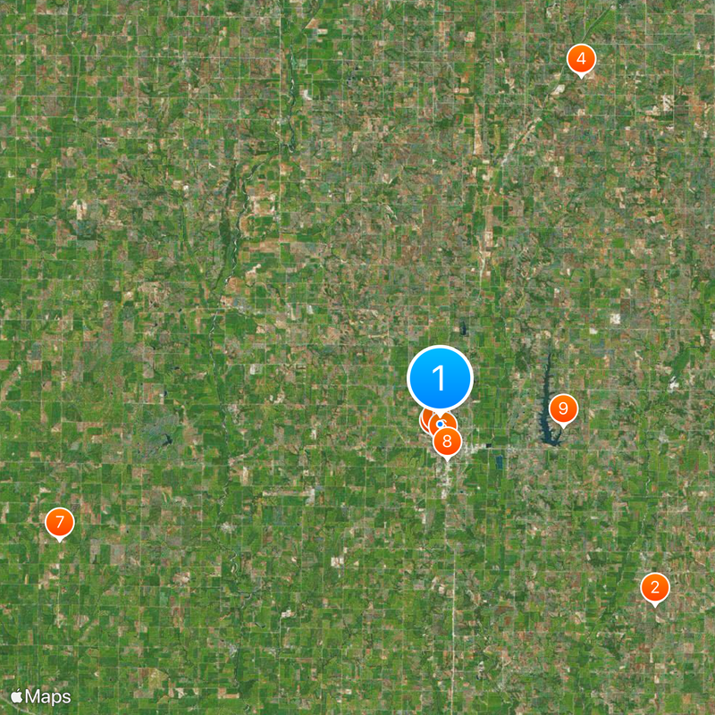
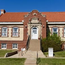
Nodaway County, Administrative county in northwestern Missouri, US.
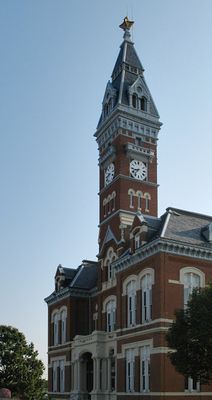
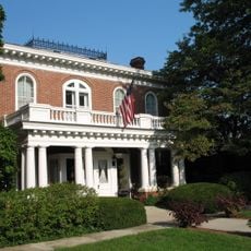
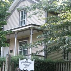
Nodaway County spans 878 square miles of Missouri territory, containing the city of Maryville and several smaller communities throughout its boundaries.

The county, named after the Nodaway River, became part of Missouri through the Platte Purchase of 1836 and received formal organization in 1845.

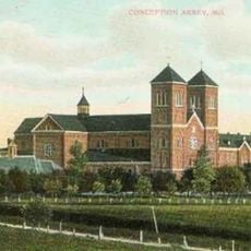
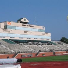
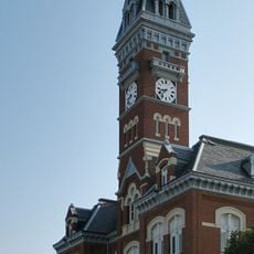
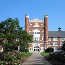
Northwest Missouri State University stands as an educational center within the county, featuring grounds designated as the Missouri State Arboretum in 1993.

The county administration center operates in Maryville, offering services to residents Monday through Wednesday from 9 AM to 4:30 PM without appointments.

The county produced notable horse trainers Ben Jones and Jimmy Jones, whose horses earned six Kentucky Derby victories and two Triple Crown championships.

Location: Missouri

Inception: 1845

Capital city: Maryville

Shares border with: Taylor County, Andrew County, Page County, Worth County, Gentry County, Atchison County, Holt County

Website: http://nodawaycountymo.com

GPS coordinates: 40.36000,-94.88000

Latest update: May 27, 2025 10:08

Around this place
Show the full map
Conception Abbey
United States of America

Conception Abbey

22.4 km
Loess Bluffs National Wildlife Refuge
United States of America

Loess Bluffs National Wildlife Refuge

43.8 km
Bearcat Stadium
United States of America

Bearcat Stadium

1.2 km
Big Lake State Park
United States of America

Big Lake State Park

49.9 km
Bedford Public Library
United States of America

Bedford Public Library

29.8 km
Missouri State Arboretum
United States of America

Missouri State Arboretum

800 m
Nodaway County Historical Society Museum
United States of America

Nodaway County Historical Society Museum

1.5 km
St. John's Evangelical Lutheran Church
United States of America

St. John's Evangelical Lutheran Church

50.3 km
Lenox Round Barn
United States of America

Lenox Round Barn

37.6 km
Mozingo Lake Golf Course
United States of America

Mozingo Lake Golf Course

9.8 km
J. F. Roberts Octagonal Barn
United States of America

J. F. Roberts Octagonal Barn

35 km
Page County Courthouse
United States of America

Page County Courthouse

44 km
William P. Hepburn House
United States of America

William P. Hepburn House

44.6 km
Taylor County Courthouse
United States of America

Taylor County Courthouse

36.8 km
Clarinda Carnegie Library
United States of America

Clarinda Carnegie Library

44.4 km
Andrew County Courthouse
United States of America

Andrew County Courthouse

46.8 km
Nodaway County Courthouse
United States of America

Nodaway County Courthouse

1.4 km
Worth County Courthouse
United States of America

Worth County Courthouse

42.3 km
Rankin Hall
United States of America

Rankin Hall

44.4 km
Thomas Gaunt House
United States of America

Thomas Gaunt House

1.1 km
Bedford House
United States of America

Bedford House

36.8 km
Goldenrod Schoolhouse
United States of America

Goldenrod Schoolhouse

42.4 km
Caleb Burns House
United States of America

Caleb Burns House

1.5 km
City Hall
United States of America

City Hall

49.6 km
Bedford Commercial Historic District
United States of America

Bedford Commercial Historic District

36.8 km
W.T.S. White House and Carriage House
United States of America

W.T.S. White House and Carriage House

44.6 km
Administration Building
United States of America

Administration Building

779 m
Bedford City Hall
United States of America

Bedford City Hall

36.8 km
Show the full map

Reviews

Visited this place? Tap the stars to rate it and share your experience / photos with the community! Try now! You can cancel it anytime.

Administrative divisions
« Nodaway County: Administrative county in northwestern Missouri, US » is provided by Around Us (aroundus.com). Images and texts are derived from Wikimedia project under a Creative Commons license. You are allowed to copy, distribute, and modify copies of this page, under the conditions set by the license, as long as this note is clearly visible.

Discover hidden gems everywhere you go!

From secret cafés to breathtaking viewpoints, skip the crowded tourist spots and find places that match your style. Our app makes it easy with voice search, smart filtering, route optimization, and insider tips from travelers worldwide. Download now for the complete mobile experience.

Around Us App Screenshot

A unique approach to discovering new places

Le Figaro

All the places worth exploring

France Info

A tailor-made excursion in just a few clicks

20 Minutes