Vinton County, County in southeastern Ohio, United States
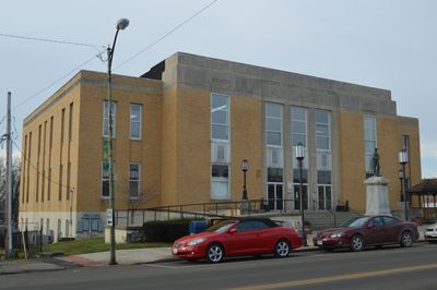
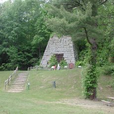
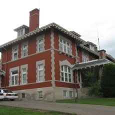
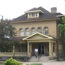
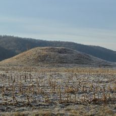
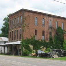
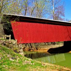
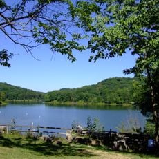
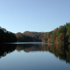
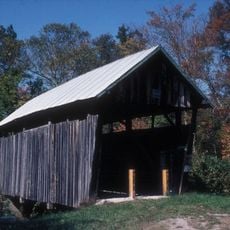
Vinton County is a rural area in southeastern Ohio with rolling hills, dense forests, and scattered small towns connected by local roads. The landscape shows a mix of woodlands and farms, with McArthur serving as the administrative center where government offices are located.
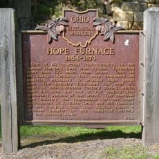
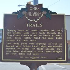
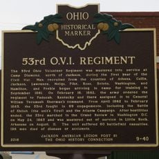
The county was officially created in 1850 as part of Ohio's territorial expansion during the nineteenth century. This establishment allowed for better administration of the growing rural settlements developing across the region.
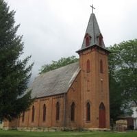
Local communities gather for seasonal fairs and markets where residents celebrate traditions rooted in farming and rural life. These gatherings reflect the strong connections between neighbors who share similar ways of living and working.
The best time to visit is from May through September when weather conditions are mild and roads are accessible. Getting around the county requires a car since public transportation is limited across the rural area.
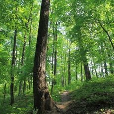
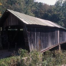
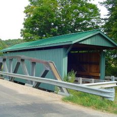
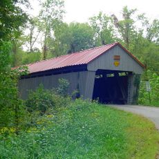
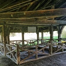
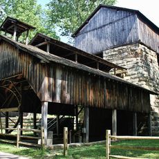
The area holds significant timber reserves that have supported a long tradition of forestry and remain an important part of the local economy. Visitors can find quiet trails through mature forests that are less known compared to other Ohio destinations.
Location: Ohio
Inception: March 23, 1850
Capital city: McArthur
Reference: VIN
Shares border with: Hocking County, Athens County, Meigs County, Gallia County, Jackson County, Ross County
Website: http://co.vinton.oh.us
GPS coordinates: 39.25000,-82.49000
Latest update: December 20, 2025 13:50
Leo Petroglyph
19.4 km
Zaleski State Forest
9.5 km
Hope Furnace
15.8 km
Zaleski Mound Group
9.2 km
Ponn Humpback Covered Bridge
24.6 km
Harvey Wells House
14.4 kmVinton Furnace State Experimental Forest
10.9 km
Morgan Mansion
14.6 km
Trinity Episcopal Church
883 m
Clutts House
14.6 km
Mt. Olive Road Covered Bridge
9.4 km
Eakin Mill Covered Bridge
15.9 km
Byer Covered Bridge
14.5 km
Ratcliffe Mound
21.5 km
Masonic Lodge No. 472
9 km
Buckeye Furnace Covered Bridge
21.9 km
Lake Hope State Park
15.3 km
Leo petroglyph
19.4 km
Lake Katharine State Nature Preserve
24.3 kmLake Alma State Park
11.8 kmLake Alma
11.8 km
Hope Furnace
15.8 km
Trails
25.4 km
53rd O.V.I. Regiment
25.4 km
Cox Covered Bridge
13.1 km
Buckeye Furnace
21.7 kmHammertown Lake
27.6 kmMural, Work of art
14.8 kmVisited this place? Tap the stars to rate it and share your experience / photos with the community! Try now! You can cancel it anytime.
Discover hidden gems everywhere you go!
From secret cafés to breathtaking viewpoints, skip the crowded tourist spots and find places that match your style. Our app makes it easy with voice search, smart filtering, route optimization, and insider tips from travelers worldwide. Download now for the complete mobile experience.
A unique approach to discovering new places❞
— Le Figaro
All the places worth exploring❞
— France Info
A tailor-made excursion in just a few clicks❞
— 20 Minutes