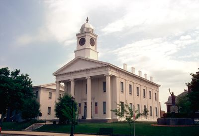
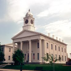
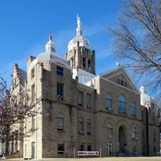
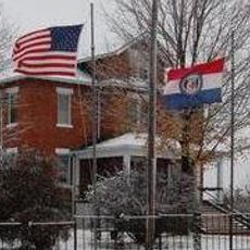
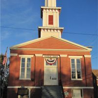
Lafayette County, County administrative division in Missouri, US
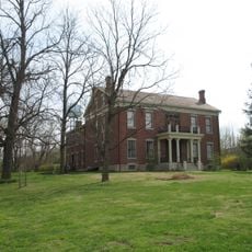
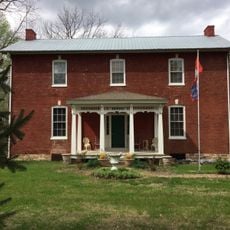
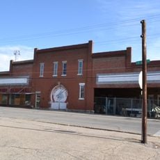
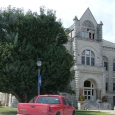
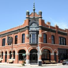
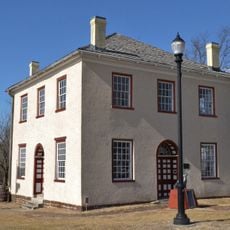
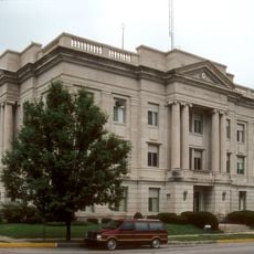
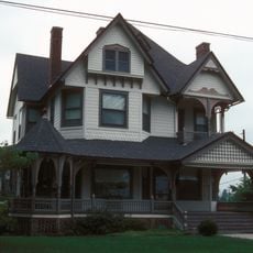
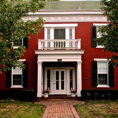
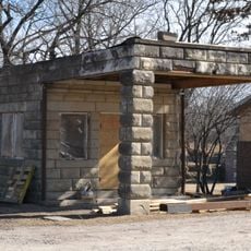
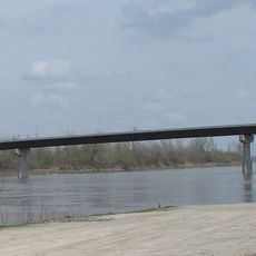
Lafayette County is an administrative division in western Missouri, covering a large rural area with the Missouri River flowing along its northern edge. The county encompasses several towns and farming communities spread across varied terrain.
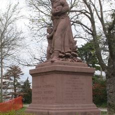
The region was established in 1820 under the name Lillard County, then renamed in 1825 to honor Marquis de La Fayette during his visit to America. The name change reflected the community's appreciation for the French revolutionary figure.
Settlers from Kentucky, Tennessee, and Virginia brought their farming traditions, particularly tobacco and hemp cultivation, which shaped how people worked the land. These methods became part of the region's rural identity and economic foundation.
The area connects well to Kansas City and other major destinations through Interstate 70, US Route 24, US Route 40, and US Route 65. Driving is the main way to explore the county and reach nearby urban centers.
In 1919, Minnie Mae Talbott made history as the first female sheriff in the United States after winning a special election following her husband's death while serving as sheriff. Her achievement broke barriers for women in law enforcement.
Location: Missouri
Inception: 1820
Capital city: Lexington
Shares border with: Carroll County, Johnson County, Saline County, Pettis County, Ray County, Jackson County
Website: http://lafayettecountymo.com
GPS coordinates: 39.06000,-93.78000
Latest update: December 7, 2025 19:29
Fort Osage
38.3 km
Powell Gardens
30.8 km
Battle of Lexington State Historic Site
16.9 km
Cumberland Presbyterian Church
16.3 km
Lafayette County Courthouse
16.4 km
Sibley Railroad Bridge
37 km
Johnson County Courthouse
33 km
Odessa Ice Cream Company Building
16.8 km
Waddell House
16 km
Howard School
33.3 km
Highland Avenue Historic District
16.1 km
Theodore Gosewisch House
14.5 km
Jones Brothers Mule Barn
33.3 km
Carroll County Court House
41.2 km
Farmers Bank Building
28.5 km
Johnson County Courthouse
32.9 km
Wilcoxson and Company Bank
41.2 km
Warren Street Methodist Episcopal Church
33.3 km
Ray County Courthouse
29.7 km
Watkins House
29.6 km
Old Neighborhoods Historic District
16.2 km
Garden of Eden Station
30.1 km
Grover Street Victorian Historic District
33.4 km
Dougherty Auditorium
29.8 km
Ray County Poor Farm
29.8 km
Marjorie Powell Allen Chapel
30.5 km
Russell Sunflower Patch
41.8 km
Waverly Bridge
28.9 kmVisited this place? Tap the stars to rate it and share your experience / photos with the community! Try now! You can cancel it anytime.
Discover hidden gems everywhere you go!
From secret cafés to breathtaking viewpoints, skip the crowded tourist spots and find places that match your style. Our app makes it easy with voice search, smart filtering, route optimization, and insider tips from travelers worldwide. Download now for the complete mobile experience.
A unique approach to discovering new places❞
— Le Figaro
All the places worth exploring❞
— France Info
A tailor-made excursion in just a few clicks❞
— 20 Minutes